Abbotswood, Apartment 3, 54 Gregories Road, Beaconsfield, HP9 1HQ
EPC B
About Abbotswood
A plain-English summary derived from public records, EPC certificates, sold prices and local data.
Abbotswood is a three-bedroom end-of-terrace house in Beaconsfield (HP9 1HQ). It has a recorded floor area of 204 m² (around 2196 sq ft), construction records dating it to 2007-2011 and council tax band G. The latest certificate (April 2024) returns a B (score 84), comfortably above the UK average. The rating has held steady at B across 2 certificates since October 2011. Between certificates, lighting went from Average to Very Good. The property has underfloor heating on record, all of which lower running costs and tend to lift resale appeal. At 204 m² this is the 3rd smallest of 7 units on EPC record in Abbotswood, where floor areas span 163–536 m².
At 204 m² it's 25.1% larger than the typical home in the postcode (163 m² median across 13 EPCs). 15 years since the last transfer (November 2011). 2 planning records sit against the property, 0 approved, 0 refused. Today's modelled estimate of £1,351,000 is 17.5% above the 2011 sale price.
What this property has
Pulled from EPC certificates, claim submissions and our property model. Empty categories are hidden — we only show what's known.
Inside
- Bedrooms3
- Bathrooms2
- EnsuiteYes
Outside
- Private garden
Energy performance
Every EPC certificate filed against this property — current rating, recorded improvements, and where there's headroom to reach a higher band.
Achieving this rating across a home of this size is uncommon — larger homes typically score lower.
Current Certificate(1 of 2)
Apr 2024
EPC Rating
A
B
B84
C
D
E
F
G
Main Heating
Electric & Gas
Main Fuel
Gas
Hot Water
Good
Windows
Good
CO2 Emissions
3.2 t/year
Occupancy
Owner Occupied
Planning history
Applications and permits filed against Abbotswood, Apartment 3, 54 Gregories Road, Beaconsfield, HP9 1HQ, sourced from the PlanIt planning register.
Planning history at Abbotswood is exclusively tree-management applications — typical for a property with mature trees on or near the plot.
- Apr 2017Tree WorksTreesAccepted in Part
T1 beech - crown cleaning (removal of dead, dying, dangerous/split branches) which includes the removal of two low branches growing over patio at source approx 4 metres from ground level.T2 yew - 1.25 metres reduction of overextended branches growing towards building. T1 beech - crown reduction by 10-15% & crown balance. (SBDC TPO No 22, 2005).
Sales history & valuation
Recorded transactions, our model's current estimate, and a quick read on what neighbouring properties have sold for.
Abbotswood valuation sits well clear of the typical sold price in this postcode.
Current estimate
See how we calculated this£1,351,000
Modelled from EPC, postcode comparables.
Last sold (2011)
£1,149,500
Recorded with HM Land Registry.
Sales timeline
Launch offer · 33% off
The complete analysis of Abbotswood, Apartment 3, 54 Gregories Road, Beaconsfield, HP9 1HQ
Everything we know about this property, compiled into one in-depth, downloadable report.
Detailed analysis
A written breakdown of everything that matters
Versus other Gregories Road homes
Four headline reads against 11 similar flats on this street, drawn from the latest EPC and Land Registry data.
On years held, Abbotswood stands well clear of the street.
Price per m²
£5,635
Street avg £6,439
Floor Area
204 m²
Street avg 180 m²
Habitable Rooms
5 rooms
Street avg 4 rooms
Similar properties nearby
A handful of close matches in the same postcode area, ranked by likeness on bedrooms, type and floor area.
The neighbourhood at a glance
A condensed read of the local area. Each tile links through to the full breakdown on the Beaconsfield district page.
Rail-style transport is unusually close for this postcode.
Crime
2/mo
Steady year-on-year across the wider district.
Nearest stop
0.1 km
Gregories Road East — bus stop.
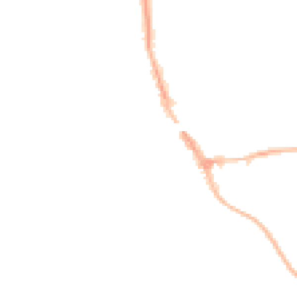
Road noise across the postcode
Modelled day and night-time noise levels around HP9 1HQ from Defra's strategic mapping. The pin marks this postcode's centroid.
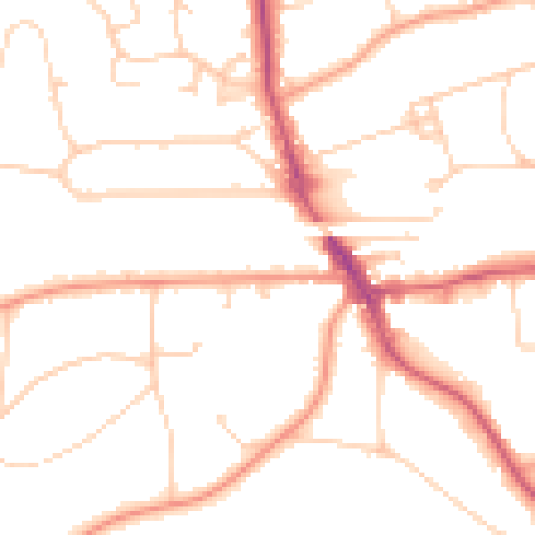
Daytime· 07:00 – 23:00
49.0dB
Everything within walking distance
Schools, transport stops and scenic spots near this property — 36 points of interest in total.
Common questions
The questions buyers, sellers and homeowners most often ask about Abbotswood, Apartment 3, 54 Gregories Road, Beaconsfield, HP9 1HQ. Each answer is also embedded as structured data for search engines.
