154 Kingsmead Road, High Wycombe, HP11 1JB
About 154 Kingsmead Road
154 Kingsmead Road is an end-of-terrace house in High Wycombe (HP11 1JB). It has a recorded floor area of 134 m² (around 1442 sq ft), construction records dating it to 1967-1975 and council tax band D. The latest certificate (October 2016) returns a high B (score 86), putting the home a stone's throw from an A rating. When first surveyed in December 2010 the rating was D, the property has climbed 2 bands since. Between certificates, wall efficiency went from Poor to Very Good, roof efficiency went from Average to Very Good and window efficiency went from Average to Very Good.
At 134 m² the property is well over the postcode median (81 m² across 40 EPCs), placing it in the larger end of the local stock. Its energy rating outperforms most of the postcode (better than 70% of similar EPCs). Across 1997–2025, sale prices on this property compounded at 2.2% per year. Today's modelled estimate of £309,000 sits 72.5% above the 2025 sale of £179,096. On a £-per-square-foot basis, the last sale (£124/sq ft) was about 57.7% below the postcode norm. Most recent transfer was July 2025 at £179,096 — fresh data. 5 planning records sit against the property, 5 approved, 0 refused.
Know exactly what you're buying at 154 Kingsmead Road
Before you offer, see what the listing won't tell you, the true value, the red flags and the full history.
Already flagged here
Valuation
against the asking price
Risks
planning & flood
Sold prices
similar homes nearby
Trends
the local market
Energy performance
EPC Rating
Property Improvements
Changes detected from historical EPC data
Heating controls upgraded for better temperature management
High performance glazing installed
Cavity wall insulation installed
Loft insulation upgraded to recommended levels
Floor insulation added or improved
Planning history
154 Kingsmead Road has been through 5 approved planning applications — a well-evolved property.
- May 2016ConditionsIn report
Application for the approval of details subject to condition 8 (access) of planning approval 10/06124/FUL
- Documents
- 6 docs on file
- Reference
- PI16/00030/ADRC
- Apr 2016ConditionsIn report
Application for the approval of details subject to condition 11 (noise impact assessment report) of planning approval 10/06124/FUL
- Documents
- 5 docs on file
- Reference
- PI15/01439/ADRC
We flagged 2 things worth checking at 154 Kingsmead Road
Independent checks surfaced things a buyer would want to understand before offering. The report explains each one in full, with the underlying data and what to ask.
- Signs of HMO activity in the area
- Larger development activity nearby
30-day money-back guarantee
Sales history & valuation
154 Kingsmead Road's estimated value is more than triple its earliest registered sale price (1997).
£309,000
Modelled from EPC, postcode comparables and a sale-price growth of 2.2% per year over 28 years.
£179,096
Growth on file: 2.2% per year over 28 years.
Sales timeline
31 July 2025Most recent
£179,096
-60.2%over 5 years4 June 2020
£450,000
+50.0%over 5 years19 May 2015
£300,000
+22.0%over 9 years25 August 2005
£246,000
+151.1%over 7 years28 August 1997
£97,950
Median price across the last 5 sales in HP11 1JB: £275,000 (2025–2021).
Nearby sales in HP11 1JB
Victoria Court, Flat 2, 174 Kingsmead Road, High Wycombe, HP11 1JB
Sold Jul 2025
£273,000173 Kingsmead Road, High Wycombe, HP11 1JB
Sold Aug 2023
£620,000Flat 6, 142 Kingsmead Road, High Wycombe, HP11 1JB
Sold Jul 2022
£275,000162 Kingsmead Road, High Wycombe, HP11 1JB
Sold Feb 2021
£545,000172 Kingsmead Road, High Wycombe, HP11 1JB
Sold Jan 2021
£235,000
Everything we know about 154 Kingsmead Road, in one report
What it's really worth, what could be wrong, and the planning, sales and area data in full.
What we flagged
- Signs of HMO activity in the area
- Larger development activity nearby

Versus other Kingsmead Road homes
Price per m² for 154 Kingsmead Road lags the street by a wide margin.
Price per m²
£1,337
Street avg £3,806
Floor Area
134 m²
Street avg 108 m²
CO₂ Emissions
1.6 t/year
Street avg 3.3 t/year
Years Held
1 years
Street avg 9 years
Similar properties nearby
The neighbourhood at a glance
Crime
7/mo
Steady year-on-year across the wider district.
Nearest stop
0.0 km
Rugby Club — bus stop.
Closest school
0.6 km
Loudwater Combined School. 13 schools nearby.
Go deeper on the local area
The full report breaks down crime, transport links, schools and air quality in depth.
Road noise across the postcode
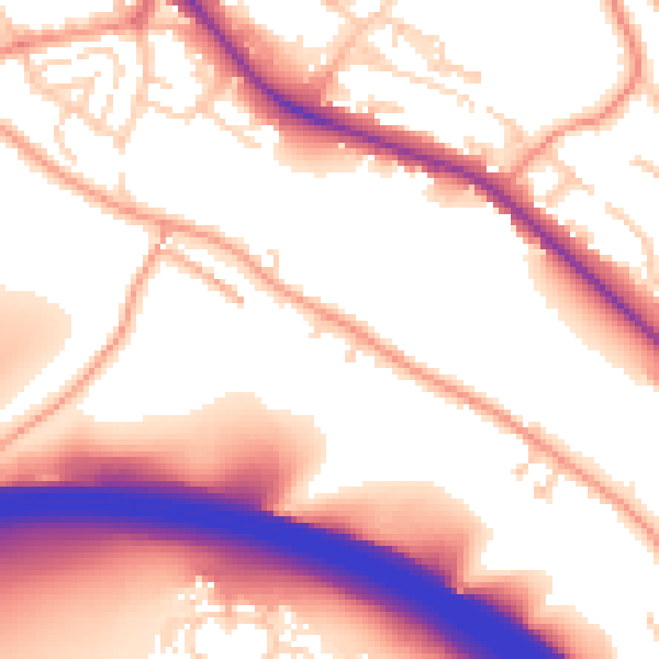
Daytime· 07:00 – 23:00
56.5dB

Night-time· 23:00 – 07:00
48.9dB