8 East Hill Way, Denby Dale, Huddersfield, HD8 8FY
About 8 East Hill Way
8 East Hill Way is an end-of-terrace house in Denby Dale, Huddersfield, Huddersfield (HD8 8FY). It has a recorded floor area of 112 m² (around 1206 sq ft) and construction records dating it to 2018. The latest certificate (May 2021) returns a B (score 84), comfortably above the UK average. The recommended improvements would push it to A (score 94).
At 112 m² it's 20.6% smaller than the typical home in the postcode (141 m² median across 27 EPCs). Today's modelled estimate of £357,000 is 19% above the 2021 sale price. Last sale on file: £299,950 in June 2021. That sale was during the post-pandemic price surge, when transactions cleared materially above pre-2020 trend.
Everything you need to know about 8 East Hill Way
The true value, the hidden risks and the full sale history, in one report.
Pick your report · every report is £14.99
One time fee only - money back guarantee

The data behind every report


Energy performance
EPC Rating
Get a survey for this property
Level 2 HomeBuyer Report
We've checked 10 risk factors against the available data for this property and believe a Level 2 HomeBuyer Report could be a suitable option for you.
From £595 · Includes VAT
Planning history
8 East Hill Way has no planning applications on record.
But the area is active
6 notable applications nearby — larger schemes and conversions that could reshape the street. The report maps them all.
Sales history & valuation
The latest sale landed in the post-pandemic price surge — useful context when reading the figure.
£357,000
Modelled from EPC, postcode comparables.
£299,950
Recorded with HM Land Registry.
Sales timeline
27 June 2021Most recent
£299,950
Median price across the last 5 sales in HD8 8FY: £485,000 (2025–2021).
Nearby sales in HD8 8FY
22 East Hill Way, Denby Dale, Huddersfield, HD8 8FY
Sold Feb 2025
£485,0003 East Hill Way, Denby Dale, Huddersfield, HD8 8FY
Sold Jan 2023
£550,00031 East Hill Way, Denby Dale, Huddersfield, HD8 8FY
Sold Nov 2022
£365,00011 East Hill Way, Denby Dale, Huddersfield, HD8 8FY
Sold Nov 2021
£489,9506 East Hill Way, Denby Dale, Huddersfield, HD8 8FY
Sold Sept 2021
£289,950
Versus other East Hill Way homes
Floor Area for 8 East Hill Way lags the street by a wide margin.
Price per m²
£2,678
Street avg £2,689
Floor Area
112 m²
Street avg 147 m²
CO₂ Emissions
1.8 t/year
Street avg 2.3 t/year
Years Held
5 years
Street avg 5 years
Everything you need to know about 8 East Hill Way
The true value, the hidden risks and the full sale history, in one report.
Pick your report · every report is £14.99
One time fee only - money back guarantee
The data behind every report
Similar properties nearby
1 Carr Hill Road, Upper Cumberworth
HD8 8NW
1 Carr Lane, Shepley
HD8 8BP
1 Broomhouse Close, Denby Dale
HD8 8UX
1 Coal Pit Lane, Upper Denby
HD8 8UF
1 Barton Cottages, High Flatts
HD8 8XU
1 Bankside, Shelley
HD8 8JD
1 Bank Lane, Upper Denby
HD8 8UR
1 Bluehills Lane, Lower Cumberworth
HD8 8RQ
The neighbourhood at a glance
Rail-style transport is unusually close for this postcode.
Crime
3/mo
Steady year-on-year across the wider district.
Nearest stop
0.1 km
War Memorial — bus stop.
Closest school
0.8 km
Denby Dale First and Nursery School. 9 schools nearby.
Go deeper on the local area
A Local Area report breaks down crime, transport links, schools and air quality in depth.
Road noise across the postcode
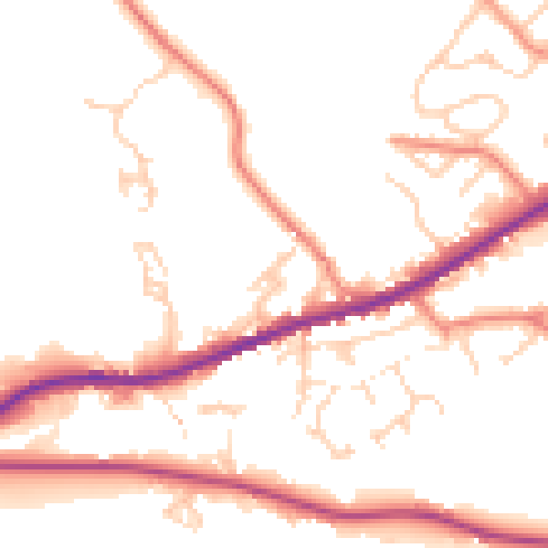
Daytime· 07:00 – 23:00
50.6dB

Night-time· 23:00 – 07:00
41.4dB