Model valuation£417,0008 Busby Close
Local market context
Last sold (2002)
£105,000
We only model an estimate once an EPC gives us the home's size and spec. The full report sets it against recent comparable sales.
Newest record on this page: February 2025. Land Registry and EPC registers update monthly, so this page can trail them by 2–3 months.
Our estimate
Not available for this home yet
Your note and figure are shown publicly on this page.
We don't publish an estimate for 7 Arlington Way because there is no EPC to tell the model the home's size and specification. The full report sets its records against recent comparable sales in HD5 9TF.
Floor area
No EPC on record
Sales of this home
2 sales recorded, the latest in 2002
Recent sales in HD5 9TF
5 sales, median £326,500 (2025–2020)
| Data | This page | Full report |
|---|---|---|
| Sales | Latest sale shown: February 2025 | Latest available records, read when you order |
| Valuation | Not available | Analysed against comparable sales |
| Planning | 1 application | Full history, plus nearby schemes |
| Flood risk | Not shown | Included |
7 Arlington Way changed hands twice within eighteen months — unusual for the area.
23 May 2002Most recent
£105,000
+17.3%over 1 year19 December 2000
£89,500
Median price across the last 5 sales in HD5 9TF: £326,500 (2025–2020).
One time fee only - money back guarantee
7 Arlington Way is a property in Huddersfield (HD5 9TF). It has council tax band D.
Untraded for 24 years, with the last transfer in May 2002. Across 2000–2002, sale prices on this property compounded at 11.9% per year. One historical planning record sits against the property in 2008.
The true value, the hidden risks and the full sale history, in one report.
Pick your report · from £14.99
One time fee only - money back guarantee
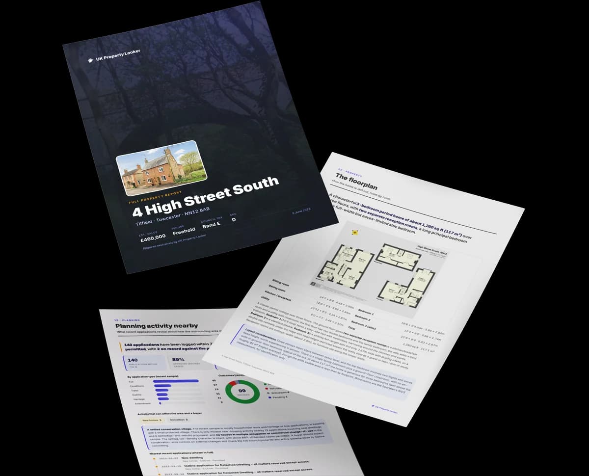
The data behind every report


This property doesn't have an Energy Performance Certificate yet. An EPC is required to sell or let — and unlocks our automated valuation.
1 application on record at 7 Arlington Way, Huddersfield, HD5 9TF
Extension: Single storey
ERECTION OF 1ST FLOOR EXTENSION
You're seeing the shape of it. The report has the substance.
One time fee only - money back guarantee
Daytime road noise here sits well below conversation level — a quiet pocket of the postcode.
Crime
203/mo
Falling year-on-year across the wider district.
Nearest stop
0.2 km
Kirkwood Hospice — bus stop.
Closest school
0.5 km
Dalton School. 16 schools nearby.
Go deeper on the local area
A Local Area report breaks down crime, transport links, schools and air quality in depth.
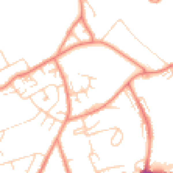
Daytime· 07:00 – 23:00
49.3dB

Night-time· 23:00 – 07:00
38.0dB

Get a survey for this property
We've checked 10 risk factors against the available data for this property and believe a Level 2 HomeBuyer Report could be a suitable option for you.
Property research, connected
Explore sale histories, valuations, energy ratings and local areas. Ask the assistant to connect the details and take your research further.
Start your researchLeave a note for other visitors about work done or anything the records miss, and say what you think it's worth. It takes about two minutes.