9 Ivy Street, Moldgreen, Huddersfield, HD5 9AE
About 9 Ivy Street
9 Ivy Street is a three-bedroom mid-terrace house in Moldgreen, Huddersfield, Huddersfield (HD5 9AE). It has a recorded floor area of 83 m² (around 893 sq ft), construction records dating it to 1900-1929 and council tax band A. The latest certificate (June 2021) shows a D (score 63), on the cusp of jumping into the C band. When first surveyed in September 2010 the rating was E, the property has climbed 1 band since. Between certificates, roof efficiency went from Good to Very Good, window efficiency went from Poor to Average and lighting went from Good to Very Good. The recommended improvements would lift it to B (score 87), a 2-band jump. Other recorded features include a conservatory, outbuildings and a basement.
It hasn't traded since March 2004, a hold of 22 years that's notably long for the area. At 83 m² the property is well over the postcode median (56 m² across 7 EPCs), placing it in the larger end of the local stock. Today's modelled estimate of £147,000 sits 188.2% above the 2004 sale of £51,000. On a £-per-square-foot basis, the last sale (£57/sq ft) was about 59.6% below the postcode norm. One historical planning record sits against the property in 2005.
What this property has
Inside
- Bedrooms3
- BasementYes
- ConservatoryYes
Outside
- Private gardenYes
- GarageYes
- OutbuildingsYes
Building
- Heating systemElectric
Everything you need to know about 9 Ivy Street
The true value, the hidden risks and the full sale history, in one report.
Pick your report · every report is £14.99
One time fee only - money back guarantee

The data behind every report


Energy performance
Recommended upgrades on file would lift this property by multiple EPC bands.
EPC Rating
Property Improvements
Changes detected from historical EPC data
Heating controls upgraded for better temperature management
Windows upgraded, improving insulation
Loft insulation upgraded to recommended levels
More low energy lighting installed
Get a survey for this property
Level 3 Building Survey
Because the property was built before 1919 and has permanent outbuildings, we believe a Level 3 building survey should be considered.
From £820 · Includes VAT
Planning history
1 application on record at 9 Ivy Street, Moldgreen, Huddersfield, HD5 9AE
- May 2005ConservatoryFullOutcome in report
ERECTION OF CONSERVATORY AND STORAGE SHED
Extension- Documents
- 12 docs on file
- Reference
- 2005/91140
Unlock 9 Ivy Street, Moldgreen, Huddersfield, HD5 9AE's full planning history
You're seeing the shape of it. The report has the substance.
- Every decision — granted, refused or withdrawn (1 on record)
- All 1 application on this property in full, plus 5 notable nearby
- The 12 documents, officer reports & conditions
- What the pattern means for extending or converting here
One time fee only - money back guarantee
Sales history & valuation
9 Ivy Street valuation sits well clear of the typical sold price in this postcode.
£147,000
Modelled from EPC, postcode comparables.
£51,000
Recorded with HM Land Registry.
Sales timeline
19 March 2004Most recent
£51,000
Median price across the last 5 sales in HD5 9AE: £88,000 (2023–2007).
Nearby sales in HD5 9AE
17 Ivy Street, Moldgreen, Huddersfield, HD5 9AE
Sold Mar 2023
£87,00013 Ivy Street, Moldgreen, Huddersfield, HD5 9AE
Sold Oct 2007
£88,00025 Ivy Street, Moldgreen, Huddersfield, HD5 9AE
Sold Mar 2007
£83,5003 Ivy Street, Moldgreen, Huddersfield, HD5 9AE
Sold Feb 2007
£799,9955 Ivy Street, Moldgreen, Huddersfield, HD5 9AE
Sold Jan 1997
£10,000
Versus other Ivy Street homes
On floor area, 9 Ivy Street stands well clear of the street.
EPC Rating
63 (D)
Street avg 58 (D)
Floor Area
83 m²
Street avg 57 m²
CO₂ Emissions
3.9 t/year
Street avg 3.4 t/year
Habitable Rooms
4 rooms
Street avg 3 rooms
Everything you need to know about 9 Ivy Street
The true value, the hidden risks and the full sale history, in one report.
Pick your report · every report is £14.99
One time fee only - money back guarantee
The data behind every report
Similar properties nearby
The neighbourhood at a glance
Crime
2/mo
Steady year-on-year across the wider district.
Nearest stop
0.1 km
Carr Pit Road — bus stop.
Closest school
0.5 km
Moldgreen Community Primary School. 25 schools nearby.
Go deeper on the local area
A Local Area report breaks down crime, transport links, schools and air quality in depth.
Road noise across the postcode
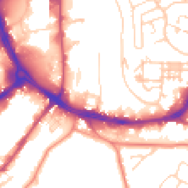
Daytime· 07:00 – 23:00
54.7dB

Night-time· 23:00 – 07:00
45.3dB