39 Ashbrow Road, Huddersfield, HD2 1DF
About 39 Ashbrow Road
39 Ashbrow Road is a two-bedroom detached house in Huddersfield (HD2 1DF). It has a recorded floor area of 64 m² (around 689 sq ft), construction records dating it to 1900-1929 and council tax band D. Tenure is freehold. The latest certificate (February 2021) shows an F (score 31), near the bottom of the EPC scale. The recommended improvements would lift it to B (score 86), a 4-band jump.
On energy efficiency it sits in the bottom 10% of properties in this postcode — significant headroom for improvement. Most recent transfer was March 2025 at £267,000 — fresh data. Across 2021–2025, sale prices on this property compounded at 6.5% per year. On a £-per-square-foot basis, the last sale (£388/sq ft) was about 183.6% above the typical sold price in the postcode.
What this property has
Inside
- Bedrooms2
- Bathrooms1
- Dining roomYes
Outside
- Private gardenYes
- GarageYes
Building
- TenureFreehold
- RefurbishedYes
Everything you need to know about 39 Ashbrow Road
The true value, the hidden risks and the full sale history, in one report.
Pick your report · every report is £14.99
One time fee only - money back guarantee

The data behind every report


Energy performance
39 Ashbrow Road sits at the bottom of the postcode for energy efficiency — meaningful headroom to improve.
EPC Rating
Get a survey for this property
Level 3 Building Survey
Because the property was built before 1919, we believe a Level 3 building survey should be considered.
From £885 · Includes VAT
Planning history
39 Ashbrow Road has no planning applications on record.
But the area is active
1 notable application nearby — larger schemes and conversions that could reshape the street. The report maps them all.
Sales history & valuation
Latest sale on 39 Ashbrow Road was the highest on Land Registry record across the postcode.
£268,000
Modelled from EPC, postcode comparables and a sale-price growth of 6.5% per year over 4 years.
£267,000
Growth on file: 6.5% per year over 4 years.
Sales timeline
30 March 2025Most recent
£267,000
+27.1%over 3 years31 May 2021
£210,000
Median price across the last 5 sales in HD2 1DF: £260,000 (2025–2024).
Nearby sales in HD2 1DF
Versus other Ashbrow Road homes
39 Ashbrow Road outperforms the street on price per m² by a wide margin.
Price per m²
£4,172
Street avg £1,735
Floor Area
64 m²
Street avg 83 m²
Habitable Rooms
6 rooms
Street avg 4 rooms
CO₂ Emissions
7.4 t/year
Street avg 2.9 t/year
Everything you need to know about 39 Ashbrow Road
The true value, the hidden risks and the full sale history, in one report.
Pick your report · every report is £14.99
One time fee only - money back guarantee
The data behind every report
Similar properties nearby
The neighbourhood at a glance
Reported crime in the wider district is trending notably upward year-on-year.
Crime
5/mo
Rising year-on-year across the wider district.
Nearest stop
0.1 km
Ash Brow Jun & Inf School — bus stop.
Closest school
0.3 km
Ashbrow School. 22 schools nearby.
Go deeper on the local area
A Local Area report breaks down crime, transport links, schools and air quality in depth.
Road noise across the postcode
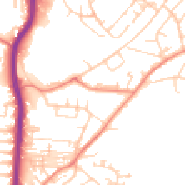
Daytime· 07:00 – 23:00
51.1dB

Night-time· 23:00 – 07:00
40.4dB