1 Merlins Avenue, Harrow, HA2 9ET
About 1 Merlins Avenue
1 Merlins Avenue is an end-of-terrace house in Harrow (HA2 9ET). It has a recorded floor area of 172 m² (around 1851 sq ft), construction records dating it to 1930-1949 and council tax band E. The latest certificate (February 2026) shows a C (score 72). When first surveyed in May 2011 the rating was G, the property has climbed 4 bands since. Between certificates, roof efficiency went from Poor to Good, hot-water efficiency went from Average to Good and lighting went from Average to Good; while window efficiency dropped from Average to Poor. The recommended improvements would push it to B (score 84). This certificate was lodged in the last six months, so the rating reflects current condition.
At 172 m² the property is well over the postcode median (80 m² across 15 EPCs), placing it in the larger end of the local stock. Its energy rating outperforms most of the postcode (better than 73% of similar EPCs). 4 planning records sit against the property, 2 approved, 0 refused. Past consents include an extension, a porch and subdivision, meaningful when judging how the property has evolved. Across 2011–2016, sale prices on this property compounded at 16.8% per year. Today's modelled estimate of £540,000 is 11.3% above the 2016 sale price. On a £-per-square-foot basis, the last sale (£262/sq ft) was about 16.3% below the postcode norm. Last sold in August 2016, so it's been off the market for around 10 years.
Know exactly what you're buying at 1 Merlins Avenue
Before you offer, see what the listing won't tell you, the true value, the red flags and the full history.
Valuation
against the asking price
Risks
planning & flood
Sold prices
similar homes nearby
Trends
the local market
Energy performance
The EPC has just been inspected, so the rating reflects current condition.
EPC Rating
Property Improvements
Changes detected from historical EPC data
Connected to mains gas supply
Upgraded to gas central heating
Heating controls upgraded for better temperature management
Hot water system upgraded
Window efficiency improved
Roof insulation improved
More low energy lighting installed
Heating controls changed
Planning history
Council records show a subdivision application — the property's legal arrangement has been altered.
- Feb 2026HMOOutlineIn report
Certificate of Lawful Development (Proposed): Conversion of dwelling into house of multiple occupancy for up to 6 persons (Class C4)
- Reference
- PL/0453/26
- Feb 2026ConditionsIn report
Details pursuant to Condition 4 (Surface Water Attenuation and As-Built Foul Drainage) attached to planning permission PL/1745/25 dated 7.1.26 for Retention of a single storey front extension incorporating front porch; part single and part two storey side to rear extension; outbuilding with side access gate; external alterations
- Reference
- PL/0282/26
What's in 1 Merlins Avenue, Harrow, HA2 9ET's planning history?
2 more on this property, plus refusals, disputes and full decisions nearby, in the report.
Sales history & valuation
1 Merlins Avenue has more than doubled in price since the earliest registered sale in 2011.
£540,000
Modelled from EPC, postcode comparables and a sale-price growth of 16.8% per year over 5 years.
£485,000
Growth on file: 16.8% per year over 5 years.
Sales timeline
3 August 2016Most recent
£485,000
+23.4%over 1 year19 January 2015
£393,000
+80.3%over 3 years8 June 2011
£218,000
Median price across the last 5 sales in HA2 9ET: £478,000 (2021–2012).
Everything we know about 1 Merlins Avenue, in one report
What it's really worth, what could be wrong, and the planning, sales and area data in full.
- Am I paying too much?
- Is something wrong with it?
- Is the agent's story true?
- Will it hold its value?

Versus other Merlins Avenue homes
1 Merlins Avenue outperforms the street on floor area by a wide margin.
Price per m²
£2,820
Street avg £3,981
Floor Area
172 m²
Street avg 87 m²
Habitable Rooms
5 rooms
Street avg 5 rooms
CO₂ Emissions
4.6 t/year
Street avg 3.8 t/year
Similar properties nearby
The neighbourhood at a glance
Reported crime in the wider district is trending notably upward year-on-year.
Crime
6/mo
Rising year-on-year across the wider district.
Nearest stop
0.3 km
Malvern Avenue — bus stop.
Closest school
0.2 km
Heathland School. 37 schools nearby.
Go deeper on the local area
The full report breaks down crime, transport links, schools and air quality in depth.
Road noise across the postcode
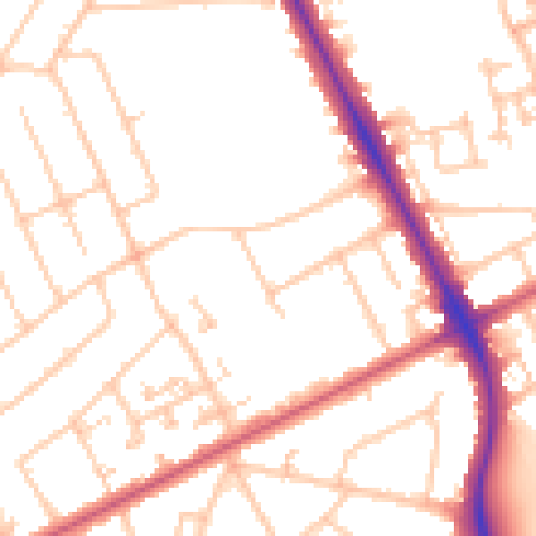
Daytime· 07:00 – 23:00
51.1dB

Night-time· 23:00 – 07:00
40.5dB