35 Shaftesbury Circle, Shaftesbury Avenue, Harrow, HA2 0AT
About 35 Shaftesbury Circle
35 Shaftesbury Circle is a mid-terrace house in Harrow (HA2 0AT). It has a recorded floor area of 52 m² (around 560 sq ft), construction records dating it to 1976-1982 and council tax band C. At 52 m² this is the smallest unit on EPC record across the building (52–58 m²). The building's EPC ratings span E to C, with this unit at the bottom. On EPC score it ranks last in the building (41 versus a best of 78). The latest certificate (February 2023) shows an E (score 41), well below the UK norm with real room to improve. Earlier certificates rated it D (May 2012); the latest reading is one band lower. Between certificates, wall efficiency went from Poor to Average and lighting went from Average to Very Good; while roof efficiency dropped from Average to Very Poor and main heating dropped from Average to Very Poor. The recommended improvements would lift it to C (score 78), a 2-band jump. Main heating runs on electricity.
Most recent transfer: September 2019 at £225,000. Across the public record there are 4 sales, relatively high churn for a single property. Across 2005–2019, sale prices on this property compounded at 2.5% per year. On a £-per-square-foot basis, the last sale (£402/sq ft) was about 71.9% above the typical sold price in the postcode.
Know exactly what you're buying at 35 Shaftesbury Circle
Before you offer, see what the listing won't tell you, the true value, the red flags and the full history.
Already flagged here
Valuation
against the asking price
Risks
planning & flood
Sold prices
similar homes nearby
Trends
the local market
Energy performance
Recommended upgrades on file would lift this property by multiple EPC bands.
EPC Rating
Property Improvements
Changes detected from historical EPC data
Heating system changed
Heating controls upgraded for better temperature management
Windows upgraded, improving insulation
Wall insulation upgraded
More low energy lighting installed
Planning history
35 Shaftesbury Circle has no planning applications on record.
Notable planning nearby
5applications of note in the surrounding area
We flagged 2 things worth checking at 35 Shaftesbury Circle
Independent checks surfaced things a buyer would want to understand before offering. The report explains each one in full, with the underlying data and what to ask.
- Signs of HMO activity in the area
- Larger development activity nearby
30-day money-back guarantee
Sales history & valuation
35 Shaftesbury Circle valuation sits well clear of the typical sold price in this postcode.
£244,000
Modelled from EPC, postcode comparables and a sale-price growth of 2.5% per year over 14 years.
£225,000
Growth on file: 2.5% per year over 14 years.
Sales timeline
3 September 2019Most recent
£225,000
+45.2%over 5 years29 April 2014
£155,000
-0.6%over 7 years19 February 2007
£156,000
-1.3%over 1 year19 May 2005
£158,000
Median price across the last 5 sales in HA2 0AT: £185,000 (2022–2008).
Nearby sales in HA2 0AT
29 Shaftesbury Circle, Shaftesbury Avenue, Harrow, HA2 0AT
Sold Mar 2022
£1,925,00031 Shaftesbury Circle, Shaftesbury Avenue, Harrow, HA2 0AT
Sold Jun 2019
£239,00030 Shaftesbury Circle, Shaftesbury Avenue, Harrow, HA2 0AT
Sold Jan 2014
£185,00036 Shaftesbury Circle, Shaftesbury Avenue, Harrow, HA2 0AT
Sold Dec 2005
£140,00032 Shaftesbury Circle, Shaftesbury Avenue, Harrow, HA2 0AT
Sold Sept 2005
£157,500
Everything we know about 35 Shaftesbury Circle, in one report
What it's really worth, what could be wrong, and the planning, sales and area data in full.
What we flagged
- Signs of HMO activity in the area
- Larger development activity nearby

Versus other Shaftesbury Circle homes
35 Shaftesbury Circle is notably below the street on epc rating.
Price per m²
£4,327
Street avg £8,210
Floor Area
52 m²
Street avg 56 m²
Habitable Rooms
3 rooms
Street avg 3 rooms
CO₂ Emissions
4.4 t/year
Street avg 4.0 t/year
Similar properties nearby
1 Berry Court, Juniper Close
HA2 0FN
1 Abbotts Court, Ashbourne Avenue
HA2 0LE
1 Crown Court, Crown Street
HA2 0HS
1 Cowen Avenue
HA2 0LU
1 Annan Court, Coles Crescent
HA2 0SW
1 Amber Court, Goldsmith Close
HA2 0EZ
1 Bipin Court, Swift Close
HA2 0FP
1 Abercorn Crescent
HA2 0PX
The neighbourhood at a glance
Rail-style transport is unusually close for this postcode.
Crime
6/mo
Rising year-on-year across the wider district.
Nearest stop
0.0 km
Porlock Avenue — bus stop.
Closest school
0.2 km
Whitmore High School. 39 schools nearby.
Go deeper on the local area
The full report breaks down crime, transport links, schools and air quality in depth.
Road noise across the postcode
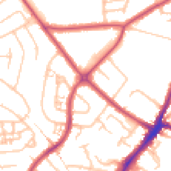
Daytime· 07:00 – 23:00
51.3dB

Night-time· 23:00 – 07:00
40.1dB