43 Grafton Road, Harrow, HA1 4QS
About 43 Grafton Road
43 Grafton Road is a three-bedroom semi-detached house in Harrow (HA1 4QS). It has a recorded floor area of 98 m² (around 1055 sq ft), construction records dating it to 1900-1929 and council tax band E. The latest certificate (August 2020) shows an F (score 36), near the bottom of the EPC scale. The recommended improvements would lift it to C (score 73), a 3-band jump. Other recorded features include a conservatory and a loft.
On energy efficiency it sits in the bottom 10% of properties in this postcode — significant headroom for improvement. 2 planning records sit against the property, 2 approved, 0 refused. Past consents include an extension and partial demolition, meaningful when judging how the property has evolved. Today's modelled estimate of £630,000 is 15.4% above the 2021 sale price. On a £-per-square-foot basis, the last sale (£517/sq ft) was about 75.4% above the typical sold price in the postcode. Sold February 2021 for £545,750. That sale was during the post-pandemic price surge, when transactions cleared materially above pre-2020 trend.
Know exactly what you're buying at 43 Grafton Road
Before you offer, see what the listing won't tell you, the true value, the red flags and the full history.
Already flagged here
Valuation
against the asking price
Risks
planning & flood
Sold prices
similar homes nearby
Trends
the local market
What this property has
Inside
- Bedrooms3
- Bathrooms1
- Dining roomYes
- LoftYes
- ConservatoryYes
Outside
- Private gardenYes
- GarageYes
Building
- Central heatingYes
Energy performance
43 Grafton Road sits at the bottom of the postcode for energy efficiency — meaningful headroom to improve.
EPC Rating
Planning history
Planning history includes recorded demolition works, indicating a major rebuild phase at this address.
- Oct 2021DemolitionFullIn report
Extension: Part single, part two storey · Side and rear of property
Single and two storey side extension; single storey rear extension; alterations to roof; rear dormer; three rooflights in front roofslope; external alterations (demolition attached store and rear extension)
Extension- Documents
- 19 docs on file
- Reference
- P/3329/21
- Jul 2021DemolitionFullIn report
Extension: Part single, part two storey · Side and rear of property
Single and two storey side extension; single storey rear extension; alterations to roof; rear dormer; three rooflights in front roofslope; external alterations (demolition attached store and rear extension)
Extension- Documents
- 13 docs on file
- Reference
- P/0995/21
We flagged 1 thing worth checking at 43 Grafton Road
Independent checks surfaced things a buyer would want to understand before offering. The report explains each one in full, with the underlying data and what to ask.
- Larger development activity nearby
30-day money-back guarantee
Sales history & valuation
Latest sale on 43 Grafton Road was the highest on Land Registry record across the postcode.
£630,000
Modelled from EPC, postcode comparables.
£545,750
Recorded with HM Land Registry.
Sales timeline
23 February 2021Most recent
£545,750
Median price across the last 5 sales in HA1 4QS: £475,000 (2025–2012).
Everything we know about 43 Grafton Road, in one report
What it's really worth, what could be wrong, and the planning, sales and area data in full.
What we flagged
- Larger development activity nearby

Versus other Grafton Road homes
Price per m² for 43 Grafton Road runs comfortably ahead of the street norm.
Price per m²
£5,569
Street avg £3,750
Floor Area
98 m²
Street avg 113 m²
Habitable Rooms
5 rooms
Street avg 6 rooms
CO₂ Emissions
7.2 t/year
Street avg 4.8 t/year
Similar properties nearby
1 Ford Close
HA1 4AX
1 Cumberland Road
HA1 4PH
1 Durham Road
HA1 4PQ
1 Duarte Close
HA1 4GW
1 Devonshire Road
HA1 4LP
1 Durham Court, Durham Road
HA1 4PQ
1 Beresford Road
HA1 4QP
1 Charnwood Court, Pinner View
HA1 4RD
The neighbourhood at a glance
Rail-style transport is unusually close for this postcode.
Crime
28/mo
Steady year-on-year across the wider district.
Nearest stop
0.3 km
Rutland Road (HA1) — bus stop.
Closest school
0.6 km
Vaughan Primary School. 35 schools nearby.
Go deeper on the local area
The full report breaks down crime, transport links, schools and air quality in depth.
Road noise across the postcode
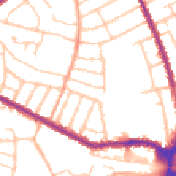
Daytime· 07:00 – 23:00
50.5dB

Night-time· 23:00 – 07:00
41.3dB