Roxborough Heights, Flat 14, College Road, Harrow, HA1 1GN
About Roxborough Heights
Roxborough Heights is a mid-terrace house in Harrow (HA1 1GN). It has a recorded floor area of 75 m² (around 807 sq ft), construction records dating it to 1996-2002 and council tax band D. At 75 m² this is the 27th smallest of 34 units on EPC record in Roxborough Heights, where floor areas span 50–93 m². The building's EPC ratings span C to B, with this unit at the bottom. The latest certificate (October 2018) shows a C (score 80), near the top of the C band. Earlier certificates rated it B (October 2008); the latest reading is one band lower. Between certificates, lighting went from Very Poor to Average; while hot-water efficiency dropped from Good to Poor and main heating dropped from Good to Average. The recommended improvements would push it to B (score 83). Main heating runs on electricity.
Across 2002–2020, sale prices on this property compounded at 4.1% per year. Today's modelled estimate of £295,000 is 29.8% below the 2020 sale of £420,000, an unusual pattern given regional price growth and worth checking against the EPC condition. On a £-per-square-foot basis, the last sale (£520/sq ft) was about 85.5% above the typical sold price in the postcode. Sold February 2020 for £420,000. Across the public record there are 4 sales, relatively high churn for a single property. At 75 m² it's 15.4% larger than the typical home in the postcode (65 m² median across 33 EPCs).
Know exactly what you're buying at Roxborough Heights
Before you offer, see what the listing won't tell you, the true value, the red flags and the full history.
Already flagged here
Valuation
against the asking price
Risks
planning & flood
Sold prices
similar homes nearby
Trends
the local market
Energy performance
EPC Rating
Property Improvements
Changes detected from historical EPC data
Changed to a more efficient fuel source
Hot water system changed
More low energy lighting installed
Planning history
Roxborough Heights has no planning applications on record.
Notable planning nearby
9applications of note in the surrounding area
We flagged 1 thing worth checking at Roxborough Heights
Independent checks surfaced things a buyer would want to understand before offering. The report explains each one in full, with the underlying data and what to ask.
- Signs of HMO activity in the area
30-day money-back guarantee
Sales history & valuation
Latest sale on Roxborough Heights was the highest on Land Registry record across the postcode.
£295,000
Modelled from EPC, postcode comparables and a sale-price growth of 4.1% per year over 17 years.
£420,000
Growth on file: 4.1% per year over 17 years.
Sales timeline
26 February 2020Most recent
£420,000
+78.0%over 9 years3 May 2010
£236,000
+8.3%over 5 years9 March 2005
£218,000
+4.8%over 2 years16 October 2002
£208,000
Median price across the last 5 sales in HA1 1GN: £265,000 (2025–2015).
Nearby sales in HA1 1GN
Roxborough Heights, Flat 17, College Road, Harrow, HA1 1GN
Sold Feb 2025
£217,800Roxborough Heights, Flat 33, College Road, Harrow, HA1 1GN
Sold Feb 2021
£265,000Roxborough Heights, Flat 2, College Road, Harrow, HA1 1GN
Sold Apr 2017
£110,000Roxborough Heights, Flat 31, College Road, Harrow, HA1 1GN
Sold Mar 2017
£285,000Roxborough Heights, Flat 12, College Road, Harrow, HA1 1GN
Sold Sept 2015
£280,000
Everything we know about Roxborough Heights, in one report
What it's really worth, what could be wrong, and the planning, sales and area data in full.
What we flagged
- Signs of HMO activity in the area

Versus other College Road homes
On price per m², Roxborough Heights stands well clear of the street.
Price per m²
£5,600
Street avg £3,288
Floor Area
75 m²
Street avg 65 m²
Habitable Rooms
3 rooms
Street avg 3 rooms
CO₂ Emissions
2.8 t/year
Street avg 1.4 t/year
Similar properties nearby
106 108, Flat 3, Hindes Road
HA1 1RP
106 108, Flat 4, Hindes Road
HA1 1RP
10 12, Flat 4, St Anns Road
HA1 1LG
106 108, Flat 5, Hindes Road
HA1 1RP
2a, Flat C, Nibthwaite Road
HA1 1TA
2a, Flat B, Nibthwaite Road
HA1 1TA
106 108, Flat 2, Hindes Road
HA1 1RP
31 33, Flat 16, College Road
HA1 1HQ
The neighbourhood at a glance
Rail-style transport is unusually close for this postcode.
Crime
28/mo
Steady year-on-year across the wider district.
Nearest stop
0.1 km
St Georges Centre — bus stop.
Closest school
0.4 km
Norbury School. 39 schools nearby.
Go deeper on the local area
The full report breaks down crime, transport links, schools and air quality in depth.
Road noise across the postcode
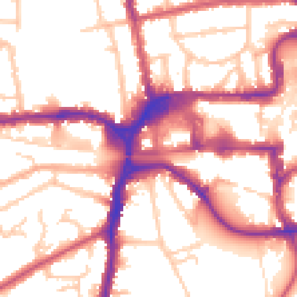
Daytime· 07:00 – 23:00
55.1dB

Night-time· 23:00 – 07:00
45.0dB