2 Burnham Road, Knaphill, Woking, GU21 2AE
About 2 Burnham Road
2 Burnham Road is a three-bedroom semi-detached house in Knaphill, Woking, Woking (GU21 2AE). It has a recorded floor area of 101 m² (around 1087 sq ft), construction records dating it to 1950-1966 and council tax band D. The latest certificate (March 2024) shows a D (score 63), on the cusp of jumping into the C band. The rating has held steady at D across 2 certificates since May 2012. Between certificates, lighting went from Average to Very Good; while roof efficiency dropped from Average to Very Poor. The recommended improvements would push it to C (score 77). Other recorded features include a conservatory. Our model identifies extension potential, subject to local planning policy. The home occupies a cul-de-sac position.
At 101 m² the property is well over the postcode median (64 m² across 23 EPCs), placing it in the larger end of the local stock. One planning record on file: an extension approved in 2005. Past consents include an extension, meaningful when judging how the property has evolved. Across 1997–2024, sale prices on this property compounded at 5.8% per year. Sold August 2024 for £489,000.
Know exactly what you're buying at 2 Burnham Road
Before you offer, see what the listing won't tell you, the true value, the red flags and the full history.
Valuation
against the asking price
Risks
planning & flood
Sold prices
similar homes nearby
Trends
the local market
What this property has
Inside
- Bedrooms3
- Bathrooms2
- EnsuiteYes
- StudyYes
- ConservatoryYes
Outside
- GarageDetached
- Cul-de-sacYes
Building
- Extension potentialPossible
Energy performance
EPC Rating
Property Improvements
Changes detected from historical EPC data
More low energy lighting installed
Planning history
2 Burnham Road has an approved extension on the planning record.
- Nov 2005ExtensionFullIn report
Dormer extension to dwelling house
- Agent
- Not Available, if this is a comment please see the Documents Tab
- Council
- Not Available, if this is a comment please see the Documents Tab
- Documents
- 12 docs on file
- Reference
- PLAN/2005/1165
What's in 2 Burnham Road, Knaphill, Woking, GU21 2AE's planning history?
Refusals, disputes and full decisions on this property and nearby, in the report.
Sales history & valuation
2 Burnham Road has more than quadrupled in price since its earliest registered sale in 1997.
£513,000
Modelled from EPC, postcode comparables and a sale-price growth of 5.8% per year over 27 years.
£489,000
Growth on file: 5.8% per year over 27 years.
Sales timeline
29 August 2024Most recent
£489,000
+64.1%over 10 years3 October 2013
£298,000
+80.6%over 13 years24 August 2000
£165,000
+57.1%over 3 years12 June 1997
£105,000
Median price across the last 5 sales in GU21 2AE: £450,000 (2025–2023).
Nearby sales in GU21 2AE
1 Burnham Road, Knaphill, Woking, GU21 2AE
Sold Nov 2025
£461,00012 Burnham Road, Knaphill, Woking, GU21 2AE
Sold Aug 2025
£391,20027 Burnham Road, Knaphill, Woking, GU21 2AE
Sold Nov 2024
£450,0007 Burnham Road, Knaphill, Woking, GU21 2AE
Sold Oct 2024
£450,0005 Burnham Road, Knaphill, Woking, GU21 2AE
Sold May 2022
£450,000
Everything we know about 2 Burnham Road, in one report
What it's really worth, what could be wrong, and the planning, sales and area data in full.
- Am I paying too much?
- Is something wrong with it?
- Is the agent's story true?
- Will it hold its value?

Versus other Burnham Road homes
On floor area, 2 Burnham Road stands well clear of the street.
Price per m²
£4,842
Street avg £5,480
Floor Area
101 m²
Street avg 71 m²
Habitable Rooms
5 rooms
Street avg 4 rooms
CO₂ Emissions
4.3 t/year
Street avg 3.0 t/year
Similar properties nearby
1 Barley Mow Close, Knaphill
GU21 2JA
1 Alexandra Gardens, Knaphill
GU21 2DG
1 Burnham Road, Knaphill
GU21 2AE
1 Choir Green, Knaphill
GU21 2NQ
1 Cavell Way, Knaphill
GU21 2TJ
1 Bloomfield Close, Knaphill
GU21 2BL
1 Creston Avenue, Knaphill
GU21 2NE
1 Birds Grove, Knaphill
GU21 2TB
The neighbourhood at a glance
Crime
7/mo
Steady year-on-year across the wider district.
Nearest stop
0.1 km
Victoria Road — bus stop.
Closest school
0.2 km
St John's Primary School. 14 schools nearby.
Go deeper on the local area
The full report breaks down crime, transport links, schools and air quality in depth.
Road noise across the postcode
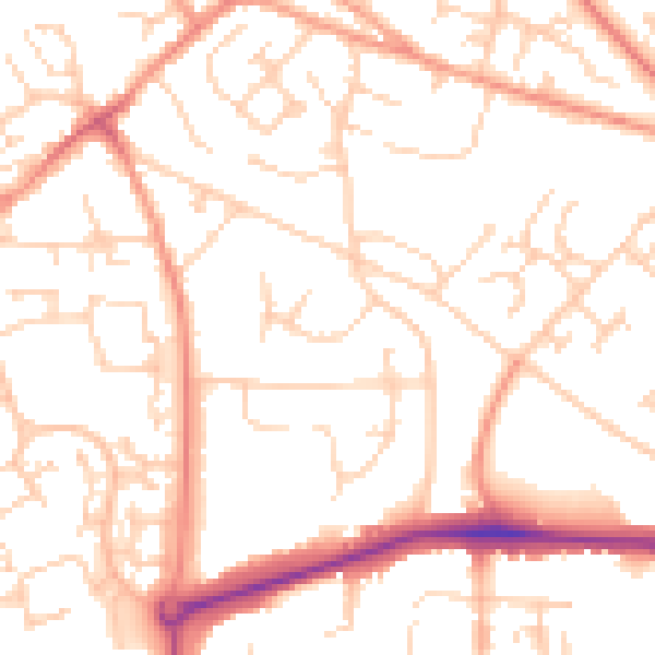
Daytime· 07:00 – 23:00
51.7dB

Night-time· 23:00 – 07:00
40.6dB