69 Prestbury Road, Cheltenham, GL52 2BY
About 69 Prestbury Road
69 Prestbury Road is a four-bedroom mid-terrace house in Cheltenham (GL52 2BY). It has a recorded floor area of 161 m² (around 1733 sq ft) and council tax band F. The latest certificate (October 2009) shows an E (score 41), well below the UK norm with real room to improve. The latest certificate is from October 2009, so improvements made since then won't be reflected. Period features are noted in the property record.
Sold January 2021 for £600,000. Across the public record there are 4 sales, relatively high churn for a single property. That sale was during the post-pandemic price surge, when transactions cleared materially above pre-2020 trend. Across 1997–2021, sale prices on this property compounded at 8.4% per year. Today's modelled estimate of £722,000 is 20.3% above the 2021 sale price. On a £-per-square-foot basis, the last sale (£346/sq ft) was about 34.9% above the typical sold price in the postcode. 4 planning records sit against the property, 4 approved, 0 refused.
What this property has
Inside
- Bedrooms4
- Bathrooms2
- Dining roomYes
Outside
- Private gardenYes
- ParkingYes
Building
- Period featuresYes
Everything you need to know about 69 Prestbury Road
The true value, the hidden risks and the full sale history, in one report.
30-day money-back guarantee

The data behind every report


Energy performance
69 Prestbury Road's carbon output runs well above what efficient homes in the postcode produce.
EPC Expired
This certificate is over 10 years old and is no longer valid.Expired 28 Oct 2019
EPC Rating
Planning history
69 Prestbury Road has been through 4 approved planning applications — a well-evolved property.
- Jan 2010RenovationHeritageIn report
Renovation of kitchen and rear lean-to including opening up between, re-glazing and new slate roof (replacing existing asbestos roof). Removal of garage, new landscaping and reinstatement of existing boundary wall (retrospective)
Retrospective- Documents
- 34 docs on file
- Reference
- 09/01701/LBC
- Nov 2005RenovationFullIn report
Renovation of kitchen and conservatory including opening up between, re-glazing and new door to rear, removal of garage and reinstatement of existing brick boundary wall.
- Documents
- 2 docs on file
- Reference
- 05/01577/FUL
We flagged 1 thing worth checking at 69 Prestbury Road
Independent checks surfaced things a buyer would want to understand before offering. The report explains each one in full, with the underlying data and what to ask.
- Larger development activity nearby
30-day money-back guarantee
Sales history & valuation
69 Prestbury Road has more than quadrupled in price since its earliest registered sale in 1997.
£722,000
Modelled from EPC, postcode comparables and a sale-price growth of 8.4% per year over 23 years.
£600,000
Growth on file: 8.4% per year over 23 years.
Sales timeline
29 January 2021Most recent
£600,000
+34.2%over 10 years6 May 2010
£447,000
+62.5%over 6 years27 August 2003
£275,000
+195.1%over 5 years28 November 1997
£93,203
Median price across the last 5 sales in GL52 2BY: £760,000 (2025–2021).
Nearby sales in GL52 2BY
63 Prestbury Road, Cheltenham, GL52 2BY
Sold Mar 2025
£815,00071 Prestbury Road, Cheltenham, GL52 2BY
Sold Aug 2024
£842,50051 Prestbury Road, Cheltenham, GL52 2BY
Sold Feb 2024
£600,00067 Prestbury Road, Cheltenham, GL52 2BY
Sold May 2023
£760,00049 Prestbury Road, Cheltenham, GL52 2BY
Sold Dec 2021
£675,000
Versus other Prestbury Road homes
On floor area, 69 Prestbury Road runs well behind the street norm.
Price per m²
£3,727
Street avg £3,246
Floor Area
161 m²
Street avg 193 m²
Habitable Rooms
8 rooms
Street avg 8 rooms
CO₂ Emissions
12.0 t/year
Street avg 9.1 t/year
Everything you need to know about 69 Prestbury Road
The true value, the hidden risks and the full sale history, in one report.
30-day money-back guarantee
The data behind every report
Similar properties nearby
1 All Saints Villas Road
GL52 2HB
1 Albert Court, Albert Road
GL52 2TN
1 All Saints Road
GL52 2EY
1 Cordwainers Road
GL52 2DQ
1 Clarence Road
GL52 2AY
1 Fairview Street
GL52 2JH
1 Albert Place
GL52 2HP
1 Albert Road
GL52 2QY
The neighbourhood at a glance
Crime
3/mo
Steady year-on-year across the wider district.
Nearest stop
0.0 km
Whaddon Road — bus stop.
Closest school
0.4 km
Holy Trinity Church of England Primary School. 20 schools nearby.
Go deeper on the local area
The full report breaks down crime, transport links, schools and air quality in depth.
Road noise across the postcode
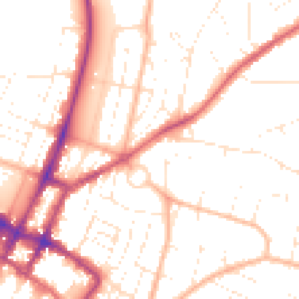
Daytime· 07:00 – 23:00
51.9dB

Night-time· 23:00 – 07:00
42.2dB