1 Amaranth Way, Up Hatherley, Cheltenham, GL51 3YU
About 1 Amaranth Way
1 Amaranth Way is a property in Up Hatherley, Cheltenham, Cheltenham (GL51 3YU). It has council tax band E.
It hasn't traded since November 2007, a hold of 19 years that's notably long for the area. That sale landed at the peak of the pre-credit-crunch market, which is a useful reference point when interpreting the price. Across 2003–2007, sale prices on this property compounded at 7.4% per year.
Everything you need to know about 1 Amaranth Way
The true value, the hidden risks and the full sale history, in one report.
Pick your report · every report is £14.99
One time fee only - money back guarantee

The data behind every report


Energy performance
No EPC on record
This property doesn't have an Energy Performance Certificate yet. An EPC is required to sell or let — and unlocks our automated valuation.
Get a survey for this property
Level 2 HomeBuyer Report
We've checked 10 risk factors against the available data for this property and believe a Level 2 HomeBuyer Report could be a suitable option for you.
Planning history
1 Amaranth Way has no planning applications on record.
A planning report still maps activity across the surrounding area and reads this property's extension & conversion potential.
Sales history & valuation
1 Amaranth Way saw 3 transfers in just over a decade — high turnover for the postcode.
£323,000
Growth on file: 7.4% per year over 4 years.
Sales timeline
30 November 2007Most recent
£323,000
+29.2%over 2 years26 April 2005
£249,999
+4.8%over 1 year2 September 2003
£238,500
Median price across the last 5 sales in GL51 3YU: £540,000 (2025–2017).
Nearby sales in GL51 3YU
11 Amaranth Way, Up Hatherley, Cheltenham, GL51 3YU
Sold Aug 2025
£576,00021 Amaranth Way, Up Hatherley, Cheltenham, GL51 3YU
Sold Mar 2025
£710,00014 Amaranth Way, Up Hatherley, Cheltenham, GL51 3YU
Sold Feb 2025
£540,00018 Amaranth Way, Up Hatherley, Cheltenham, GL51 3YU
Sold Oct 2019
£482,5005 Amaranth Way, Up Hatherley, Cheltenham, GL51 3YU
Sold Dec 2017
£399,950
Everything you need to know about 1 Amaranth Way
The true value, the hidden risks and the full sale history, in one report.
Pick your report · every report is £14.99
One time fee only - money back guarantee
The data behind every report
Similar properties nearby
1 Barwick Road, Up Hatherley
GL51 3UY
1 Canterbury Walk
GL51 3HQ
1 Carmarthen Road
GL51 3JZ
1 Aysgarth Avenue, Up Hatherley
GL51 3RE
1 Beechmore Drive, Up Hatherley
GL51 3NT
1 Ansell Close
GL51 3JS
1 Arlingham, Up Hatherley
GL51 3YG
1 Campion Park, Up Hatherley
GL51 3WA
The neighbourhood at a glance
Reported crime in the wider district is trending notably upward year-on-year.
Crime
4/mo
Rising year-on-year across the wider district.
Nearest stop
0.1 km
Jasmin Way — bus stop.
Closest school
0.4 km
Warden Hill Primary School. 13 schools nearby.
Go deeper on the local area
A Local Area report breaks down crime, transport links, schools and air quality in depth.
Road noise across the postcode
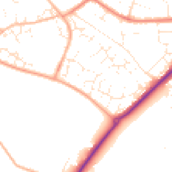
Daytime· 07:00 – 23:00
49.5dB

Night-time· 23:00 – 07:00
40.6dB