9 Ashmore Road, Gloucester, GL4 6SY
About 9 Ashmore Road
9 Ashmore Road is a semi-detached house in Gloucester (GL4 6SY). It has a recorded floor area of 80 m² (around 861 sq ft), construction records dating it to 1976-1982 and council tax band C. The latest certificate (November 2021) shows a C (score 73). The rating has held steady at C across 2 certificates since September 2011. Between certificates, roof efficiency went from Good to Very Good and lighting went from Average to Very Good. The recommended improvements would push it to B (score 87).
Know exactly what you're buying at 9 Ashmore Road
Before you offer, see what the listing won't tell you, the true value, the red flags and the full history.
Valuation
against the asking price
Risks
planning & flood
Sold prices
similar homes nearby
Trends
the local market
Energy performance
EPC Rating
Property Improvements
Changes detected from historical EPC data
Loft insulation upgraded to recommended levels
More low energy lighting installed
Planning history
9 Ashmore Road has no planning applications on record.
Notable planning nearby
1applications of note in the surrounding area
Sales history & valuation
9 Ashmore Road has no Land Registry sales on file, suggesting it has stayed in the same hands since registration began.
£260,000
Modelled from EPC, postcode comparables.
No sales recorded with HM Land Registry
That can mean the property has never traded since the registry began publishing in 1995, was a new build that hasn't been registered yet, or is held in the same hands long-term.
Median price across the last 5 sales in GL4 6SY: £290,000 (2025–2020).
Nearby sales in GL4 6SY
Everything we know about 9 Ashmore Road, in one report
What it's really worth, what could be wrong, and the planning, sales and area data in full.
- Am I paying too much?
- Is something wrong with it?
- Is the agent's story true?
- Will it hold its value?

Versus other Ashmore Road homes
On co₂ emissions, 9 Ashmore Road stands well clear of the street.
EPC Rating
73 (C)
Street avg 68 (D)
Floor Area
80 m²
Street avg 91 m²
CO₂ Emissions
2.4 t/year
Street avg 3.3 t/year
Habitable Rooms
4 rooms
Street avg 5 rooms
Similar properties nearby
1 Cotteswold Road
GL4 6RG
1 Badminton Road, Matson
GL4 6AX
1 Barnfields
GL4 6WE
1 Caledonian Road, Matson
GL4 6HU
1 Broadway
GL4 6WB
1 Country View
GL4 6RF
1 Capel Road, Matson
GL4 6JP
1 Birchall Avenue, Matson
GL4 6LW
The neighbourhood at a glance
Daytime road noise here sits well below conversation level — a quiet pocket of the postcode.
Crime
6/mo
Steady year-on-year across the wider district.
Nearest stop
0.2 km
Darwin Road — bus stop.
Closest school
0.7 km
Finlay Community School. 28 schools nearby.
Go deeper on the local area
The full report breaks down crime, transport links, schools and air quality in depth.
Road noise across the postcode
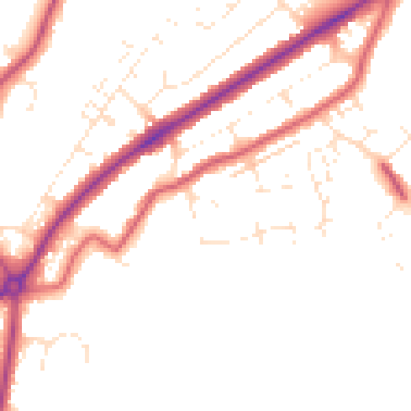
Daytime· 07:00 – 23:00
49.2dB
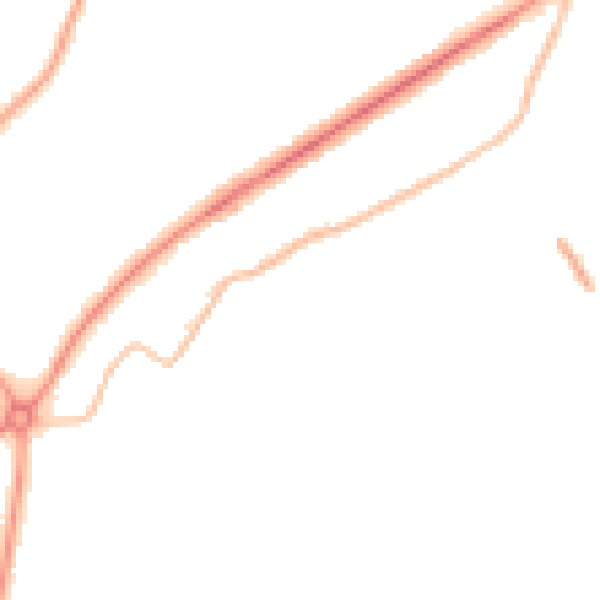
Night-time· 23:00 – 07:00
40.9dB