10 Barrass Close, Enfield, EN3 6WP
About 10 Barrass Close
10 Barrass Close is a three-bedroom mid-terrace house in Enfield (EN3 6WP). It has a recorded floor area of 81 m² (around 872 sq ft), construction records dating it to 1996-2002 and council tax band E. The latest certificate (August 2021) shows a C (score 76), near the top of the C band. The recommended improvements would push it to B (score 88).
Across 2000–2021, sale prices on this property compounded at 4.9% per year. On a £-per-square-foot basis, the last sale (£505/sq ft) was about 148.8% above the typical sold price in the postcode. Last sale on file: £440,000 in December 2021. That sale was during the post-pandemic price surge, when transactions cleared materially above pre-2020 trend.
What this property has
Inside
- Bedrooms3
- Bathrooms1
- CloakroomYes
- EnsuiteYes
Outside
- Private gardenYes
- GarageEn bloc
Building
- Heating systemAir source
- RefurbishedYes
Everything you need to know about 10 Barrass Close
The true value, the hidden risks and the full sale history, in one report.
30-day money-back guarantee

The data behind every report


Energy performance
EPC Rating
Planning history
10 Barrass Close has no planning applications on record.
Notable planning nearby
52applications of note in the surrounding area
We flagged 1 thing worth checking at 10 Barrass Close
Independent checks surfaced things a buyer would want to understand before offering. The report explains each one in full, with the underlying data and what to ask.
- Signs of HMO activity in the area
30-day money-back guarantee
Sales history & valuation
10 Barrass Close has more than doubled in price since the earliest registered sale in 2000.
£483,000
Modelled from EPC, postcode comparables and a sale-price growth of 4.9% per year over 21 years.
£440,000
Growth on file: 4.9% per year over 21 years.
Sales timeline
8 December 2021Most recent
£440,000
+178.5%over 21 years29 June 2000
£158,000
Median price across the last 5 sales in EN3 6WP: £380,000 (2021–2012).
Versus other Barrass Close homes
10 Barrass Close outperforms the street on price per m² by a wide margin.
Price per m²
£5,432
Street avg £2,812
Floor Area
81 m²
Street avg 96 m²
Habitable Rooms
4 rooms
Street avg 5 rooms
CO₂ Emissions
2.0 t/year
Street avg 2.7 t/year
Everything you need to know about 10 Barrass Close
The true value, the hidden risks and the full sale history, in one report.
30-day money-back guarantee
The data behind every report
Similar properties nearby
The neighbourhood at a glance
Reported crime in the wider district is trending notably upward year-on-year.
Crime
8/mo
Rising year-on-year across the wider district.
Nearest stop
0.2 km
Gunner Drive — bus stop.
Closest school
0.7 km
Oasis Academy Enfield. 23 schools nearby.
Go deeper on the local area
The full report breaks down crime, transport links, schools and air quality in depth.
Road noise across the postcode
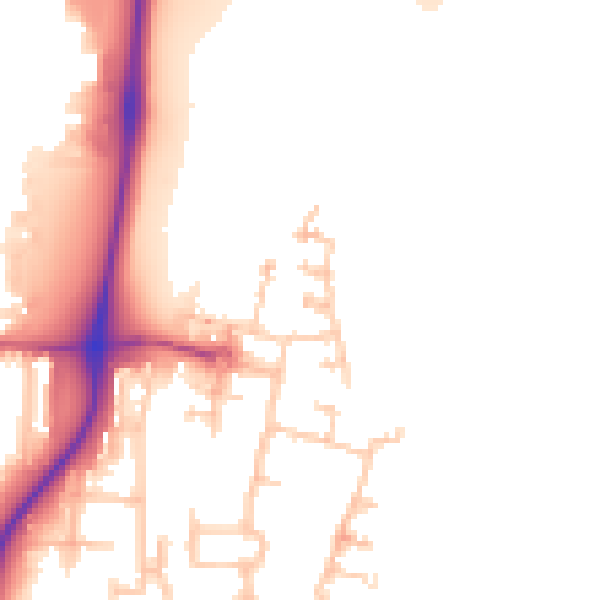
Daytime· 07:00 – 23:00
52.8dB

Night-time· 23:00 – 07:00
45.0dB