10 Grove Road West, Enfield, EN3 5SY
About 10 Grove Road West
10 Grove Road West is a semi-detached house in Enfield (EN3 5SY). It has a recorded floor area of 65 m² (around 700 sq ft), construction records dating it to 1950-1966 and council tax band C. At 65 m² this is the 40th smallest of 69 units on EPC record in the building, where floor areas span 31–100 m². The building's EPC ratings span F to C, with this unit at the top. The latest certificate (June 2023) shows a C (score 69), just inside the C band.
One planning record on file: new windows approved in 2013. Past consents include new windows, meaningful when judging how the property has evolved. Today's modelled estimate of £309,000 is 10.4% above the 2023 sale price. On a £-per-square-foot basis, the last sale (£400/sq ft) was about 117.2% above the typical sold price in the postcode. Sold November 2023 for £280,000.
Everything you need to know about 10 Grove Road West
The true value, the hidden risks and the full sale history, in one report.
30-day money-back guarantee

The data behind every report


Energy performance
EPC Rating
Planning history
- Apr 2013RenovationIn report
Replacement to all windows.
New Windows- Documents
- 1 doc on file
- Reference
- P13-00354PLA
We flagged 2 things worth checking at 10 Grove Road West
Independent checks surfaced things a buyer would want to understand before offering. The report explains each one in full, with the underlying data and what to ask.
- Signs of HMO activity in the area
- Larger development activity nearby
30-day money-back guarantee
Sales history & valuation
10 Grove Road West valuation sits well clear of the typical sold price in this postcode.
£309,000
Modelled from EPC, postcode comparables.
£280,000
Recorded with HM Land Registry.
Sales timeline
17 November 2023Most recent
£280,000
Median price across the last 5 sales in EN3 5SY: £325,000 (2023–2016).
Nearby sales in EN3 5SY
Versus other Grove Road West homes
Price per m² for 10 Grove Road West runs comfortably ahead of the street norm.
Price per m²
£4,308
Street avg £2,481
Floor Area
65 m²
Street avg 47 m²
Habitable Rooms
3 rooms
Street avg 2 rooms
CO₂ Emissions
2.5 t/year
Street avg 1.7 t/year
Everything you need to know about 10 Grove Road West
The true value, the hidden risks and the full sale history, in one report.
30-day money-back guarantee
The data behind every report
Similar properties nearby
The neighbourhood at a glance
Rail-style transport is unusually close for this postcode.
Crime
8/mo
Rising year-on-year across the wider district.
Nearest stop
0.1 km
Albany Leisure Centre — bus stop.
Closest school
0.5 km
Eastfield Primary School. 41 schools nearby.
Go deeper on the local area
The full report breaks down crime, transport links, schools and air quality in depth.
Road noise across the postcode
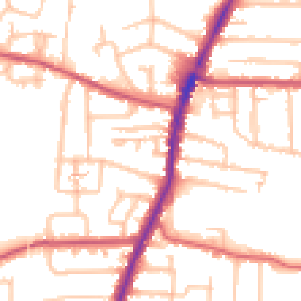
Daytime· 07:00 – 23:00
52.8dB

Night-time· 23:00 – 07:00
43.2dB