1 Castle Road, Enfield, EN3 5HP
About 1 Castle Road
1 Castle Road is an end-of-terrace house in Enfield (EN3 5HP). It has a recorded floor area of 82 m² (around 884 sq ft), construction records dating it to 1930-1949 and council tax band C. The latest certificate (February 2009) shows a C (score 76), near the top of the C band. The latest certificate is from February 2009, so improvements made since then won't be reflected.
Untraded for 26 years, with the last transfer in February 2000. On energy efficiency it sits in the top 10% of properties in this postcode. Across 1995–2000, sale prices on this property compounded at 8.3% per year. Today's modelled estimate of £389,000 sits 299% above the 2000 sale of £97,500. On a £-per-square-foot basis, the last sale (£110/sq ft) was about 52.2% below the postcode norm.
Everything you need to know about 1 Castle Road
The true value, the hidden risks and the full sale history, in one report.
30-day money-back guarantee

The data behind every report


Energy performance
1 Castle Road ranks among the most efficient homes in the postcode for energy use.
EPC Expired
This certificate is over 10 years old and is no longer valid.Expired 13 Feb 2019
EPC Rating
Planning history
1 Castle Road has no planning applications on record.
Notable planning nearby
24applications of note in the surrounding area
We flagged 2 things worth checking at 1 Castle Road
Independent checks surfaced things a buyer would want to understand before offering. The report explains each one in full, with the underlying data and what to ask.
- Signs of HMO activity in the area
- Larger development activity nearby
30-day money-back guarantee
Sales history & valuation
1 Castle Road's modelled value sits at over four times its earliest registered sale price (1995).
£389,000
Modelled from EPC, postcode comparables and a sale-price growth of 8.3% per year over 5 years.
£97,500
Growth on file: 8.3% per year over 5 years.
Sales timeline
17 February 2000Most recent
£97,500
+50.0%over 5 years26 January 1995
£65,000
Median price across the last 5 sales in EN3 5HP: £372,000 (2021–2017).
Versus other Castle Road homes
On epc rating, 1 Castle Road stands well clear of the street.
Price per m²
£1,187
Street avg £14,509
Floor Area
82 m²
Street avg 83 m²
Habitable Rooms
5 rooms
Street avg 5 rooms
CO₂ Emissions
2.6 t/year
Street avg 3.8 t/year
Everything you need to know about 1 Castle Road
The true value, the hidden risks and the full sale history, in one report.
30-day money-back guarantee
The data behind every report
Similar properties nearby
The neighbourhood at a glance
Rail-style transport is unusually close for this postcode.
Crime
8/mo
Rising year-on-year across the wider district.
Nearest stop
0.1 km
Castle Road (EN3) — bus stop.
Closest school
0.4 km
Ark John Keats Academy. 35 schools nearby.
Go deeper on the local area
The full report breaks down crime, transport links, schools and air quality in depth.
Road noise across the postcode
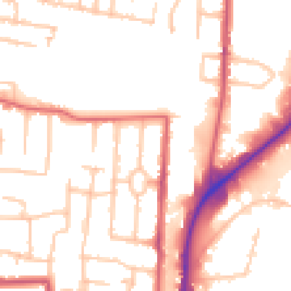
Daytime· 07:00 – 23:00
52.2dB

Night-time· 23:00 – 07:00
43.3dB