48 Fairfield Drive, Broxbourne, EN10 6DY
About 48 Fairfield Drive
48 Fairfield Drive is a three-bedroom end-of-terrace house in Broxbourne (EN10 6DY). It has a recorded floor area of 89 m² (around 962 sq ft), construction records dating it to 1950-1966 and council tax band D. The latest certificate (September 2009) shows a D (score 67), on the cusp of jumping into the C band. The recommended improvements would push it to C (score 77). The latest certificate is from September 2009, so improvements made since then won't be reflected.
Across 2006–2013, sale prices on this property compounded at 0.7% per year. Today's modelled estimate of £382,000 sits 97.4% above the 2013 sale of £193,500. Last sold in March 2013, so it's been off the market for around 13 years.
What this property has
Inside
- Bedrooms3
- Dining roomYes
- Utility roomYes
- CloakroomYes
Outside
- GarageDetached
Building
- Heating systemGas
Everything you need to know about 48 Fairfield Drive
The true value, the hidden risks and the full sale history, in one report.
30-day money-back guarantee

The data behind every report


Energy performance
48 Fairfield Drive's EPC is over a decade old — improvements since won't be reflected.
EPC Expired
This certificate is over 10 years old and is no longer valid.Expired 01 Sept 2019
EPC Rating
Planning history
48 Fairfield Drive has no planning applications on record.
Notable planning nearby
8applications of note in the surrounding area
We flagged 1 thing worth checking at 48 Fairfield Drive
Independent checks surfaced things a buyer would want to understand before offering. The report explains each one in full, with the underlying data and what to ask.
- Larger development activity nearby
30-day money-back guarantee
Sales history & valuation
48 Fairfield Drive saw 3 transfers in just over a decade — high turnover for the postcode.
£382,000
Modelled from EPC, postcode comparables and a sale-price growth of 0.7% per year over 7 years.
£193,500
Growth on file: 0.7% per year over 7 years.
Sales timeline
28 March 2013Most recent
£193,500
+1.8%over 3 years19 March 2010
£190,000
+2.7%over 3 years4 June 2006
£185,000
Median price across the last 5 sales in EN10 6DY: £350,000 (2025–2016).
Nearby sales in EN10 6DY
36 Fairfield Drive, Broxbourne, EN10 6DY
Sold Oct 2025
£400,00066 Fairfield Drive, Broxbourne, EN10 6DY
Sold Dec 2021
£387,50042 Fairfield Drive, Broxbourne, EN10 6DY
Sold Mar 2021
£305,00030 Fairfield Drive, Broxbourne, EN10 6DY
Sold May 2020
£350,00056 Fairfield Drive, Broxbourne, EN10 6DY
Sold Jun 2016
£290,000
Versus other Fairfield Drive homes
On years held, 48 Fairfield Drive stands well clear of the street.
Price per m²
£2,164
Street avg £3,309
Floor Area
89 m²
Street avg 96 m²
Habitable Rooms
4 rooms
Street avg 5 rooms
CO₂ Emissions
3.8 t/year
Street avg 3.6 t/year
Everything you need to know about 48 Fairfield Drive
The true value, the hidden risks and the full sale history, in one report.
30-day money-back guarantee
The data behind every report
Similar properties nearby
1 Broomfield Avenue
EN10 6AX
1 Cedrus Close
EN10 6GA
1 Farriers End
EN10 6BS
1 Academia Avenue
EN10 6FW
1 Elgin Road
EN10 6JQ
1 De Burgh Close
EN10 6GL
1 Arrow Yard, Old Nazeing Road
EN10 6RX
1 Columbia Road
EN10 6FR
The neighbourhood at a glance
Crime
3/mo
Steady year-on-year across the wider district.
Nearest stop
0.3 km
The Queens Head PH — bus stop.
Closest school
0.7 km
Wormley CofE Primary School. 15 schools nearby.
Go deeper on the local area
The full report breaks down crime, transport links, schools and air quality in depth.
Road noise across the postcode
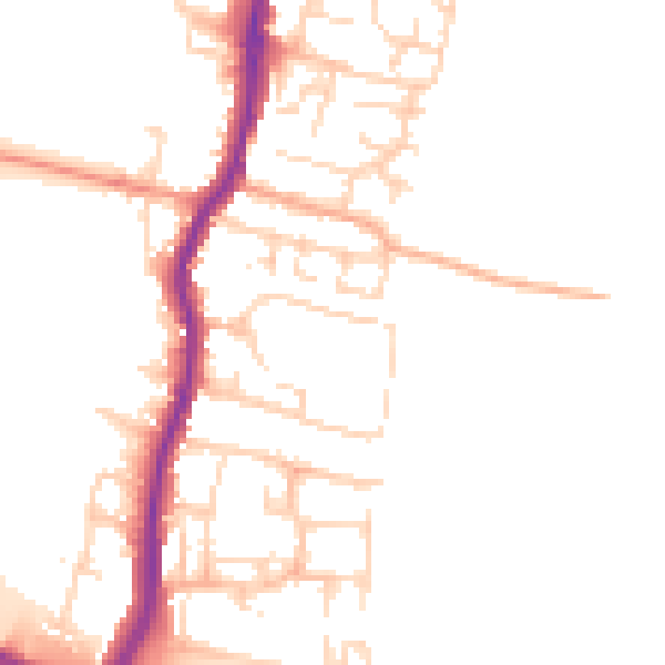
Daytime· 07:00 – 23:00
50.1dB

Night-time· 23:00 – 07:00
41.5dB