42 Fairfield Drive, Broxbourne, EN10 6DY
About 42 Fairfield Drive
42 Fairfield Drive is a mid-terrace house in Broxbourne (EN10 6DY). It has a recorded floor area of 92 m² (around 990 sq ft), construction records dating it to 1976-1982 and council tax band D. The latest certificate (July 2020) shows a C (score 70). The recommended improvements would push it to B (score 89).
Today's modelled estimate of £392,000 is 28.5% above the 2021 sale price. On a £-per-square-foot basis, the last sale (£308/sq ft) was about 54.6% above the typical sold price in the postcode. Most recent transfer: March 2021 at £305,000. That sale was during the post-pandemic price surge, when transactions cleared materially above pre-2020 trend.
Everything you need to know about 42 Fairfield Drive
The true value, the hidden risks and the full sale history, in one report.
30-day money-back guarantee

The data behind every report


Energy performance
EPC Rating
Planning history
42 Fairfield Drive has no planning applications on record.
Notable planning nearby
8applications of note in the surrounding area
We flagged 1 thing worth checking at 42 Fairfield Drive
Independent checks surfaced things a buyer would want to understand before offering. The report explains each one in full, with the underlying data and what to ask.
- Larger development activity nearby
30-day money-back guarantee
Sales history & valuation
The latest sale landed in the post-pandemic price surge — useful context when reading the figure.
£392,000
Modelled from EPC, postcode comparables.
£305,000
Recorded with HM Land Registry.
Sales timeline
12 March 2021Most recent
£305,000
Median price across the last 5 sales in EN10 6DY: £350,000 (2025–2015).
Nearby sales in EN10 6DY
36 Fairfield Drive, Broxbourne, EN10 6DY
Sold Oct 2025
£400,00066 Fairfield Drive, Broxbourne, EN10 6DY
Sold Dec 2021
£387,50030 Fairfield Drive, Broxbourne, EN10 6DY
Sold May 2020
£350,00056 Fairfield Drive, Broxbourne, EN10 6DY
Sold Jun 2016
£290,00018 Fairfield Drive, Broxbourne, EN10 6DY
Sold Jul 2015
£235,000
Versus other Fairfield Drive homes
Price per m²
£3,315
Street avg £3,145
Floor Area
92 m²
Street avg 96 m²
Habitable Rooms
5 rooms
Street avg 5 rooms
CO₂ Emissions
3.2 t/year
Street avg 3.6 t/year
Everything you need to know about 42 Fairfield Drive
The true value, the hidden risks and the full sale history, in one report.
30-day money-back guarantee
The data behind every report
Similar properties nearby
The neighbourhood at a glance
Crime
3/mo
Steady year-on-year across the wider district.
Nearest stop
0.3 km
The Queens Head PH — bus stop.
Closest school
0.7 km
Wormley CofE Primary School. 15 schools nearby.
Go deeper on the local area
The full report breaks down crime, transport links, schools and air quality in depth.
Road noise across the postcode
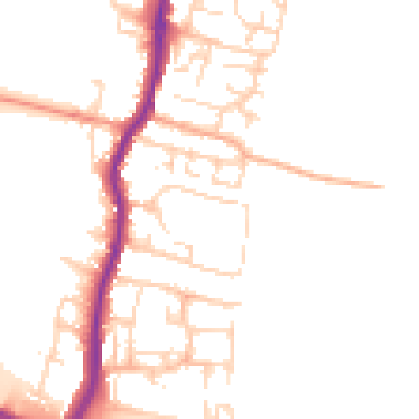
Daytime· 07:00 – 23:00
50.1dB

Night-time· 23:00 – 07:00
41.5dB