2 Fairfield Drive, Broxbourne, EN10 6DX
About 2 Fairfield Drive
2 Fairfield Drive is a three-bedroom semi-detached house in Broxbourne (EN10 6DX). It has a recorded floor area of 97 m² (around 1044 sq ft), construction records dating it to 1930-1949 and council tax band D. The latest certificate (December 2017) shows an E (score 40), well below the UK norm with real room to improve. The recommended improvements would lift it to C (score 73), a 2-band jump. Records show the property has been extended at some point in its history.
On energy efficiency it sits in the bottom 10% of properties in this postcode — significant headroom for improvement. 4 planning records sit against the property, 2 approved, 0 refused. Past consents include an extension, meaningful when judging how the property has evolved. Across 2006–2018, sale prices on this property compounded at 4.4% per year. Today's modelled estimate of £503,000 is 23% above the 2018 sale price. On a £-per-square-foot basis, the last sale (£392/sq ft) was about 251.4% above the typical sold price in the postcode. Last changed hands 8 years ago, in May 2018.
What this property has
Inside
- Bedrooms3
- Bathrooms2
- CloakroomYes
Outside
- Private gardenRear
- GarageDetached
Building
- Heating systemGas
- Previously extendedYes
Everything you need to know about 2 Fairfield Drive
The true value, the hidden risks and the full sale history, in one report.
30-day money-back guarantee

The data behind every report


Energy performance
2 Fairfield Drive sits at the bottom of the postcode for energy efficiency — meaningful headroom to improve.
EPC Rating
Planning history
2 Fairfield Drive has been extended on multiple sides of the property across separate planning applications.
- Oct 2018ApplicationIn report
Details of proposed ground levels and levels of thresholds pursuant to condition 4 or planning permission 07/18/0630/HF
- Documents
- 3 docs on file
- Reference
- 07/18/0924/DRC
- Aug 2018ExtensionOutlineIn report
Extension: Single storey · Rear of property
Prior approval for single storey rear extension
- Documents
- 3 docs on file
- Reference
- 07/18/0698/PN42
We flagged 1 thing worth checking at 2 Fairfield Drive
Independent checks surfaced things a buyer would want to understand before offering. The report explains each one in full, with the underlying data and what to ask.
- Larger development activity nearby
30-day money-back guarantee
Sales history & valuation
Latest sale on 2 Fairfield Drive was the highest on Land Registry record across the postcode.
£503,000
Modelled from EPC, postcode comparables and a sale-price growth of 4.4% per year over 12 years.
£409,000
Growth on file: 4.4% per year over 12 years.
Sales timeline
22 May 2018Most recent
£409,000
+70.4%over 12 years10 February 2006
£240,000
Median price across the last 5 sales in EN10 6DX: £175,000 (2020–2003).
Nearby sales in EN10 6DX
8a, Fairfield Drive, Broxbourne, EN10 6DX
Sold May 2020
£365,00010a, Fairfield Drive, Broxbourne, EN10 6DX
Sold Jul 2018
£153,5008b, Fairfield Drive, Broxbourne, EN10 6DX
Sold Oct 2013
£199,9508 Fairfield Drive, Broxbourne, EN10 6DX
Sold Jan 2003
£175,00010 Fairfield Drive, Broxbourne, EN10 6DX
Sold May 2001
£63,000
Versus other Fairfield Drive homes
2 Fairfield Drive outperforms the street on price per m² by a wide margin.
Price per m²
£4,216
Street avg £1,889
Floor Area
97 m²
Street avg 98 m²
Habitable Rooms
5 rooms
Street avg 5 rooms
CO₂ Emissions
8.1 t/year
Street avg 3.3 t/year
Everything you need to know about 2 Fairfield Drive
The true value, the hidden risks and the full sale history, in one report.
30-day money-back guarantee
The data behind every report
Similar properties nearby
1 Elgin Road
EN10 6JQ
1 De Burgh Close
EN10 6GL
1 Academia Avenue
EN10 6FW
1 Farriers End
EN10 6BS
1 Cedrus Close
EN10 6GA
1 Broomfield Avenue
EN10 6AX
1 Arrow Yard, Old Nazeing Road
EN10 6RX
1 Columbia Road
EN10 6FR
The neighbourhood at a glance
Crime
3/mo
Steady year-on-year across the wider district.
Nearest stop
0.2 km
The Queens Head PH — bus stop.
Closest school
0.7 km
Longlands Primary School and Nursery. 17 schools nearby.
Go deeper on the local area
The full report breaks down crime, transport links, schools and air quality in depth.
Road noise across the postcode
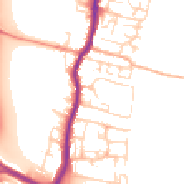
Daytime· 07:00 – 23:00
52.1dB

Night-time· 23:00 – 07:00
43.5dB