135 High Road, Wormley, Broxbourne, EN10 6DW
About 135 High Road
135 High Road is a three-bedroom semi-detached house in Wormley, Broxbourne, Broxbourne (EN10 6DW). It has a recorded floor area of 96 m² (around 1033 sq ft), construction records dating it to before 1900 and council tax band D. Tenure is freehold. The latest certificate (July 2021) shows a D (score 60), on the cusp of jumping into the C band. The recommended improvements would lift it to B (score 87), a 2-band jump. Period features are noted in the property record. Our model identifies extension potential, subject to local planning policy.
Its energy rating outperforms most of the postcode (better than 80% of similar EPCs). On a £-per-square-foot basis, the last sale (£416/sq ft) was about 105.8% above the typical sold price in the postcode. Last sale on file: £430,000 in April 2023.
What this property has
Inside
- Bedrooms3
- Bathrooms2
- CloakroomYes
Outside
- Private gardenRear
- ParkingOff street
Building
- TenureFreehold
- Period featuresYes
- Extension potentialPossible
Everything you need to know about 135 High Road
The true value, the hidden risks and the full sale history, in one report.
30-day money-back guarantee

The data behind every report


Energy performance
Recommended upgrades on file would lift this property by multiple EPC bands.
EPC Rating
Planning history
135 High Road has no planning applications on record.
Notable planning nearby
8applications of note in the surrounding area
We flagged 1 thing worth checking at 135 High Road
Independent checks surfaced things a buyer would want to understand before offering. The report explains each one in full, with the underlying data and what to ask.
- Larger development activity nearby
30-day money-back guarantee
Sales history & valuation
Latest sale on 135 High Road was the highest on Land Registry record across the postcode.
£468,000
Modelled from EPC, postcode comparables.
£430,000
Recorded with HM Land Registry.
Sales timeline
5 April 2023Most recent
£430,000
Median price across the last 5 sales in EN10 6DW: £290,000 (2019–2012).
Nearby sales in EN10 6DW
125 High Road, Wormley, Broxbourne, EN10 6DW
Sold Nov 2019
£340,000133 High Road, Wormley, Broxbourne, EN10 6DW
Sold Aug 2014
£340,000131 High Road, Wormley, Broxbourne, EN10 6DW
Sold Feb 2014
£290,000127 High Road, Wormley, Broxbourne, EN10 6DW
Sold Jan 2001
£146,000129 High Road, Wormley, Broxbourne, EN10 6DW
Sold May 1999
£133,000
Versus other High Road homes
Price per m² for 135 High Road runs comfortably ahead of the street norm.
Price per m²
£4,479
Street avg £2,536
Floor Area
96 m²
Street avg 112 m²
Habitable Rooms
5 rooms
Street avg 6 rooms
CO₂ Emissions
4.5 t/year
Street avg 6.9 t/year
Everything you need to know about 135 High Road
The true value, the hidden risks and the full sale history, in one report.
30-day money-back guarantee
The data behind every report
Similar properties nearby
1 Academia Avenue
EN10 6FW
1 Elgin Road
EN10 6JQ
1 Farriers End
EN10 6BS
1 De Burgh Close
EN10 6GL
1 Cedrus Close
EN10 6GA
1 Broomfield Avenue
EN10 6AX
1 Arrow Yard, Old Nazeing Road
EN10 6RX
1 Columbia Road
EN10 6FR
The neighbourhood at a glance
Crime
3/mo
Steady year-on-year across the wider district.
Nearest stop
0.2 km
Hertford Regional College — bus stop.
Closest school
0.6 km
Longlands Primary School and Nursery. 18 schools nearby.
Go deeper on the local area
The full report breaks down crime, transport links, schools and air quality in depth.
Road noise across the postcode
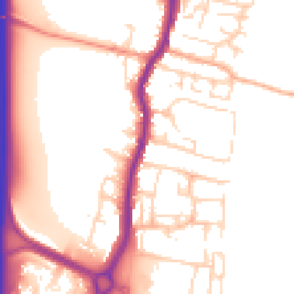
Daytime· 07:00 – 23:00
54.0dB

Night-time· 23:00 – 07:00
45.3dB