129 High Road, Wormley, Broxbourne, EN10 6DW
About 129 High Road
129 High Road is a three-bedroom semi-detached house in Wormley, Broxbourne, Broxbourne (EN10 6DW). It has a recorded floor area of 118 m² (around 1270 sq ft), construction records dating it to before 1900 and council tax band E. The latest certificate (April 2010) shows an F (score 35), near the bottom of the EPC scale. The recommended improvements would lift it to D (score 57), a 2-band jump. The latest certificate is from April 2010, so improvements made since then won't be reflected.
It hasn't traded since May 1999, a hold of 27 years that's notably long for the area. Only one transfer is on record with HM Land Registry, suggesting it has stayed in the same hands for a long time. Today's modelled estimate of £491,000 sits 269.2% above the 1999 sale of £133,000. On a £-per-square-foot basis, the last sale (£105/sq ft) was about 50.4% below the postcode norm. It lags the bulk of the postcode on energy efficiency (less efficient than 80% of similar EPCs).
What this property has
Inside
- Bedrooms3
Everything you need to know about 129 High Road
The true value, the hidden risks and the full sale history, in one report.
30-day money-back guarantee

The data behind every report


Energy performance
129 High Road's carbon output runs well above what efficient homes in the postcode produce.
EPC Expired
This certificate is over 10 years old and is no longer valid.Expired 01 Apr 2020
EPC Rating
Planning history
129 High Road has no planning applications on record.
Notable planning nearby
8applications of note in the surrounding area
We flagged 1 thing worth checking at 129 High Road
Independent checks surfaced things a buyer would want to understand before offering. The report explains each one in full, with the underlying data and what to ask.
- Larger development activity nearby
30-day money-back guarantee
Sales history & valuation
129 High Road's estimated value is more than triple its earliest registered sale price (1999).
£491,000
Modelled from EPC, postcode comparables.
£133,000
Recorded with HM Land Registry.
Sales timeline
27 May 1999Most recent
£133,000
Median price across the last 5 sales in EN10 6DW: £340,000 (2023–2014).
Nearby sales in EN10 6DW
135 High Road, Wormley, Broxbourne, EN10 6DW
Sold Apr 2023
£430,000125 High Road, Wormley, Broxbourne, EN10 6DW
Sold Nov 2019
£340,000133 High Road, Wormley, Broxbourne, EN10 6DW
Sold Aug 2014
£340,000131 High Road, Wormley, Broxbourne, EN10 6DW
Sold Feb 2014
£290,000127 High Road, Wormley, Broxbourne, EN10 6DW
Sold Jan 2001
£146,000
Versus other High Road homes
129 High Road is notably below the street on price per m².
Price per m²
£1,127
Street avg £3,374
Floor Area
118 m²
Street avg 107 m²
Habitable Rooms
5 rooms
Street avg 6 rooms
CO₂ Emissions
9.0 t/year
Street avg 6.0 t/year
Everything you need to know about 129 High Road
The true value, the hidden risks and the full sale history, in one report.
30-day money-back guarantee
The data behind every report
Similar properties nearby
1 Elgin Road
EN10 6JQ
1 De Burgh Close
EN10 6GL
1 Academia Avenue
EN10 6FW
1 Farriers End
EN10 6BS
1 Cedrus Close
EN10 6GA
1 Broomfield Avenue
EN10 6AX
1 Arrow Yard, Old Nazeing Road
EN10 6RX
1 Columbia Road
EN10 6FR
The neighbourhood at a glance
Crime
3/mo
Steady year-on-year across the wider district.
Nearest stop
0.2 km
Hertford Regional College — bus stop.
Closest school
0.6 km
Longlands Primary School and Nursery. 18 schools nearby.
Go deeper on the local area
The full report breaks down crime, transport links, schools and air quality in depth.
Road noise across the postcode
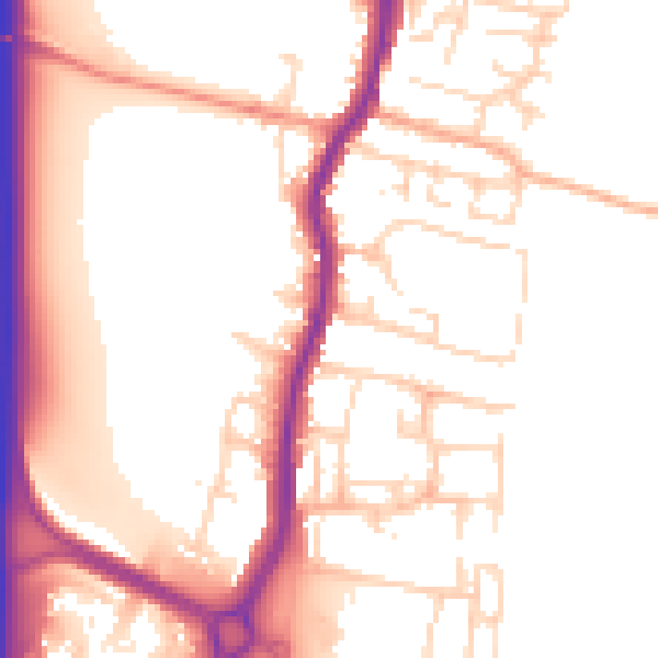
Daytime· 07:00 – 23:00
54.0dB

Night-time· 23:00 – 07:00
45.3dB