8 The Oval, Broxbourne, EN10 6DQ
About 8 The Oval
8 The Oval is a four-bedroom detached house in Broxbourne (EN10 6DQ). It has a recorded floor area of 137 m² (around 1475 sq ft), construction records dating it to 1976-1982 and council tax band F. The latest certificate (April 2024) shows an E (score 54), well below the UK norm with real room to improve. The recommended improvements would lift it to B (score 82), a 3-band jump. Records show the property has been extended at some point in its history.
One planning record on file: an extension approved in 2024. Past consents include an extension, meaningful when judging how the property has evolved. It lags the bulk of the postcode on energy efficiency (less efficient than 89% of similar EPCs). On a £-per-square-foot basis, the last sale (£417/sq ft) was about 30.6% above the typical sold price in the postcode. Sold September 2024 for £615,000.
What this property has
Inside
- Bedrooms4
- Bathrooms2
- Dining roomYes
- EnsuiteYes
Outside
- GarageDouble
Building
- Previously extendedYes
- RefurbishedYes
Everything you need to know about 8 The Oval
The true value, the hidden risks and the full sale history, in one report.
30-day money-back guarantee

The data behind every report


Energy performance
8 The Oval's carbon output runs well above what efficient homes in the postcode produce.
EPC Rating
Planning history
- Dec 2024ExtensionFullIn report
Extension: Two storey · Rear of property
Ground floor infill extension, two storey rear extension and alterations to fenestration.
- Documents
- 12 docs on file
- Reference
- 07/24/0814/HF
We flagged 1 thing worth checking at 8 The Oval
Independent checks surfaced things a buyer would want to understand before offering. The report explains each one in full, with the underlying data and what to ask.
- Larger development activity nearby
30-day money-back guarantee
Sales history & valuation
8 The Oval valuation sits well clear of the typical sold price in this postcode.
£672,000
Modelled from EPC, postcode comparables.
£615,000
Recorded with HM Land Registry.
Sales timeline
23 September 2024Most recent
£615,000
Median price across the last 5 sales in EN10 6DQ: £689,995 (2023–2021).
Versus other The Oval homes
On years held, 8 The Oval runs well behind the street norm.
Price per m²
£4,489
Street avg £3,983
Floor Area
137 m²
Street avg 139 m²
Habitable Rooms
6 rooms
Street avg 6 rooms
CO₂ Emissions
7.1 t/year
Street avg 5.7 t/year
Everything you need to know about 8 The Oval
The true value, the hidden risks and the full sale history, in one report.
30-day money-back guarantee
The data behind every report
Similar properties nearby
1 Arrow Yard, Old Nazeing Road
EN10 6RX
1 De Burgh Close
EN10 6GL
1 Elgin Road
EN10 6JQ
1 Academia Avenue
EN10 6FW
1 Farriers End
EN10 6BS
1 Cedrus Close
EN10 6GA
1 Broomfield Avenue
EN10 6AX
1 Eaton Gardens
EN10 6SA
The neighbourhood at a glance
Crime
3/mo
Steady year-on-year across the wider district.
Nearest stop
0.1 km
Hertford Regional College — bus stop.
Closest school
0.5 km
Longlands Primary School and Nursery. 16 schools nearby.
Go deeper on the local area
The full report breaks down crime, transport links, schools and air quality in depth.
Road noise across the postcode
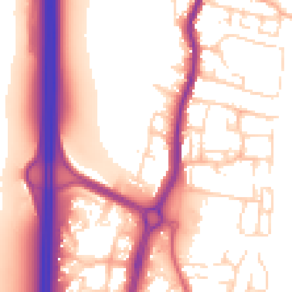
Daytime· 07:00 – 23:00
56.9dB

Night-time· 23:00 – 07:00
48.3dB