13 The Oval, Broxbourne, EN10 6DQ
About 13 The Oval
13 The Oval is a four-bedroom detached house in Broxbourne (EN10 6DQ). It has a recorded floor area of 120 m² (around 1292 sq ft), construction records dating it to 1976-1982 and council tax band F. The latest certificate (October 2021) shows a D (score 62), on the cusp of jumping into the C band. The recommended improvements would lift it to B (score 86), a 2-band jump. Records show the property has been extended at some point in its history.
Across 1998–2022, sale prices on this property compounded at 5.3% per year. On a £-per-square-foot basis, the last sale (£495/sq ft) was about 53.9% above the typical sold price in the postcode. Most recent transfer: May 2022 at £640,000. That sale was during the post-pandemic price surge, when transactions cleared materially above pre-2020 trend.
What this property has
Inside
- Bedrooms4
- Bathrooms1
- Open-plan layoutYes
- Dining roomYes
- CloakroomYes
Outside
- Private gardenFront and rear
- GarageDouble
Building
- Previously extendedYes
Everything you need to know about 13 The Oval
The true value, the hidden risks and the full sale history, in one report.
30-day money-back guarantee

The data behind every report


Energy performance
Recommended upgrades on file would lift this property by multiple EPC bands.
EPC Rating
Planning history
13 The Oval has no planning applications on record.
Notable planning nearby
8applications of note in the surrounding area
We flagged 1 thing worth checking at 13 The Oval
Independent checks surfaced things a buyer would want to understand before offering. The report explains each one in full, with the underlying data and what to ask.
- Larger development activity nearby
30-day money-back guarantee
Sales history & valuation
Sale price has grown by over 3x since 1998.
£684,000
Modelled from EPC, postcode comparables and a sale-price growth of 5.3% per year over 24 years.
£640,000
Growth on file: 5.3% per year over 24 years.
Sales timeline
19 May 2022Most recent
£640,000
+240.4%over 23 years18 October 1998
£188,000
Median price across the last 5 sales in EN10 6DQ: £689,995 (2024–2021).
Versus other The Oval homes
On price per m², 13 The Oval stands well clear of the street.
Price per m²
£5,333
Street avg £3,954
Floor Area
120 m²
Street avg 140 m²
Habitable Rooms
5 rooms
Street avg 7 rooms
CO₂ Emissions
5.2 t/year
Street avg 5.7 t/year
Everything you need to know about 13 The Oval
The true value, the hidden risks and the full sale history, in one report.
30-day money-back guarantee
The data behind every report
Similar properties nearby
1 Arrow Yard, Old Nazeing Road
EN10 6RX
1 De Burgh Close
EN10 6GL
1 Elgin Road
EN10 6JQ
1 Academia Avenue
EN10 6FW
1 Farriers End
EN10 6BS
1 Cedrus Close
EN10 6GA
1 Broomfield Avenue
EN10 6AX
1 Eaton Gardens
EN10 6SA
The neighbourhood at a glance
Crime
3/mo
Steady year-on-year across the wider district.
Nearest stop
0.1 km
Hertford Regional College — bus stop.
Closest school
0.5 km
Longlands Primary School and Nursery. 16 schools nearby.
Go deeper on the local area
The full report breaks down crime, transport links, schools and air quality in depth.
Road noise across the postcode
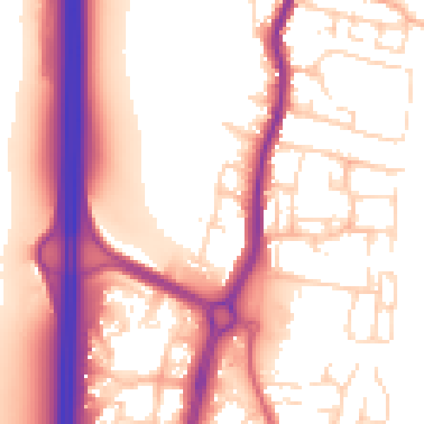
Daytime· 07:00 – 23:00
56.9dB
Night-time· 23:00 – 07:00
48.3dB