16 Tarpan Way, Broxbourne, EN10 6BN
About 16 Tarpan Way
16 Tarpan Way is a two-bedroom mid-terrace house in Broxbourne (EN10 6BN). It has a recorded floor area of 62 m² (around 667 sq ft), construction records dating it to 1983-1990 and council tax band D. The latest certificate (November 2025) shows a C (score 74). The rating has held steady at C across 2 certificates since August 2010. Between certificates, window efficiency went from Very Poor to Average. The home occupies a cul-de-sac position.
Today's modelled estimate of £367,000 sits 89.2% above the 2012 sale of £194,000. 14 years since the last transfer (May 2012).
What this property has
Inside
- Bedrooms2
- Dining roomYes
- CloakroomYes
Outside
- Private gardenRear
- ParkingOff street
- Cul-de-sacYes
Building
- Heating systemGas
Everything you need to know about 16 Tarpan Way
The true value, the hidden risks and the full sale history, in one report.
30-day money-back guarantee

The data behind every report


Energy performance
EPC Rating
Property Improvements
Changes detected from historical EPC data
Single glazing replaced with double or better glazing
More low energy lighting installed
Planning history
16 Tarpan Way has no planning applications on record.
Notable planning nearby
8applications of note in the surrounding area
We flagged 1 thing worth checking at 16 Tarpan Way
Independent checks surfaced things a buyer would want to understand before offering. The report explains each one in full, with the underlying data and what to ask.
- Larger development activity nearby
30-day money-back guarantee
Sales history & valuation
16 Tarpan Way valuation sits well clear of the typical sold price in this postcode.
£367,000
Modelled from EPC, postcode comparables and a sale-price growth of 0.4% per year over 5 years.
£194,000
Growth on file: 0.4% per year over 5 years.
Sales timeline
3 May 2012Most recent
£194,000
+2.1%over 5 years21 December 2006
£189,995
Median price across the last 5 sales in EN10 6BN: £470,000 (2024–2021).
Nearby sales in EN10 6BN
Versus other Tarpan Way homes
16 Tarpan Way is notably below the street on habitable rooms.
Price per m²
£3,129
Street avg £4,156
Floor Area
62 m²
Street avg 80 m²
Habitable Rooms
3 rooms
Street avg 5 rooms
CO₂ Emissions
1.8 t/year
Street avg 2.9 t/year
Everything you need to know about 16 Tarpan Way
The true value, the hidden risks and the full sale history, in one report.
30-day money-back guarantee
The data behind every report
Similar properties nearby
1 Columbia Road
EN10 6FR
1 Clyfton Close
EN10 6NT
1 Broomfield Avenue
EN10 6AX
1 Cedrus Close
EN10 6GA
1 Farriers End
EN10 6BS
1 Academia Avenue
EN10 6FW
1 Elgin Road
EN10 6JQ
1 De Burgh Close
EN10 6GL
The neighbourhood at a glance
Crime
3/mo
Steady year-on-year across the wider district.
Nearest stop
0.3 km
Bulls Head PH — bus stop.
Closest school
0.2 km
Longlands Primary School and Nursery. 18 schools nearby.
Go deeper on the local area
The full report breaks down crime, transport links, schools and air quality in depth.
Road noise across the postcode
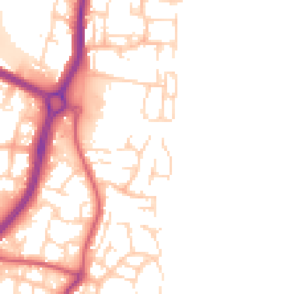
Daytime· 07:00 – 23:00
50.6dB

Night-time· 23:00 – 07:00
42.1dB