89 Humberstone Road, Newham, London, E13 9NL
About 89 Humberstone Road
89 Humberstone Road is a two-bedroom end-of-terrace house in Newham, London, London (E13 9NL). It has a recorded floor area of 77 m² (around 829 sq ft), construction records dating it to before 1900 and council tax band C. Tenure is freehold. The latest certificate (September 2024) shows a D (score 63), on the cusp of jumping into the C band. The recommended improvements would lift it to B (score 86), a 2-band jump.
Most recent transfer was March 2025 at £437,000 — fresh data. Across 2005–2025, sale prices on this property compounded at 4.5% per year. On a £-per-square-foot basis, the last sale (£527/sq ft) was about 138.4% above the typical sold price in the postcode.
Know exactly what you're buying at 89 Humberstone Road
Before you offer, see what the listing won't tell you, the true value, the red flags and the full history.
Already flagged here
Valuation
against the asking price
Risks
planning & flood
Sold prices
similar homes nearby
Trends
the local market
What this property has
Inside
- Bedrooms2
- Bathrooms1
- Dining roomYes
Outside
- ParkingOff street
Building
- TenureFreehold
Energy performance
Recommended upgrades on file would lift this property by multiple EPC bands.
EPC Rating
Planning history
89 Humberstone Road has no planning applications on record.
Notable planning nearby
6applications of note in the surrounding area
We flagged 1 thing worth checking at 89 Humberstone Road
Independent checks surfaced things a buyer would want to understand before offering. The report explains each one in full, with the underlying data and what to ask.
- Signs of HMO activity in the area
30-day money-back guarantee
Sales history & valuation
Latest sale on 89 Humberstone Road was the highest on Land Registry record across the postcode.
£416,000
Modelled from EPC, postcode comparables and a sale-price growth of 4.5% per year over 19 years.
£437,000
Growth on file: 4.5% per year over 19 years.
Sales timeline
25 March 2025Most recent
£437,000
+132.5%over 19 years16 November 2005
£187,950
Median price across the last 5 sales in E13 9NL: £346,000 (2025–2019).
Nearby sales in E13 9NL
73 Humberstone Road, Newham, London, E13 9NL
Sold May 2025
£396,30011 Humberstone Road, Newham, London, E13 9NL
Sold Jun 2021
£392,00067 Humberstone Road, Newham, London, E13 9NL
Sold Feb 2021
£346,00065 Humberstone Road, Newham, London, E13 9NL
Sold Mar 2020
£318,00083 Humberstone Road, Newham, London, E13 9NL
Sold Mar 2019
£224,000
Everything we know about 89 Humberstone Road, in one report
What it's really worth, what could be wrong, and the planning, sales and area data in full.
What we flagged
- Signs of HMO activity in the area

Versus other Humberstone Road homes
On price per m², 89 Humberstone Road stands well clear of the street.
Price per m²
£5,675
Street avg £3,041
Floor Area
77 m²
Street avg 72 m²
Habitable Rooms
3 rooms
Street avg 4 rooms
CO₂ Emissions
3.3 t/year
Street avg 3.4 t/year
Similar properties nearby
1 Augurs Lane, Newham
E13 9JX
1 Jedburgh Road, Newham
E13 9LQ
1 Haig Road West, Newham
E13 9LJ
1 Hyde Close, Newham
E13 9BD
1 Kings Court, Newham
E13 9HZ
1 Credon Road, Newham
E13 9BH
1 Coronation Road, Newham
E13 9QB
1 Humberstone Road, Newham
E13 9NL
The neighbourhood at a glance
Reported crime in the wider district is trending notably upward year-on-year.
Crime
7/mo
Rising year-on-year across the wider district.
Nearest stop
0.2 km
Newham Uni Hosp Emergency Dept — bus stop.
Closest school
0.3 km
New City Primary School. 82 schools nearby.
Go deeper on the local area
The full report breaks down crime, transport links, schools and air quality in depth.
Road noise across the postcode
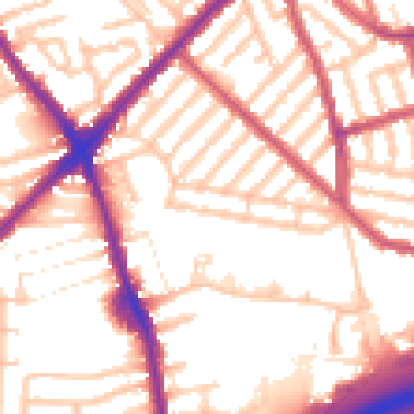
Daytime· 07:00 – 23:00
55.0dB

Night-time· 23:00 – 07:00
45.7dB