19 Churston Avenue, Newham, London, E13 0RJ
About 19 Churston Avenue
19 Churston Avenue is a mid-terrace house in Newham, London, London (E13 0RJ). It has a recorded floor area of 53 m² (around 570 sq ft), construction records dating it to 1900-1929 and council tax band B. At 53 m² this is the smallest unit on EPC record across the building (53–179 m²). The building's EPC ratings span E to C across 30 units on file. The latest certificate (April 2021) shows a D (score 57), a step below the typical UK home. When first surveyed in November 2016 the rating was E, the property has climbed 1 band since. Between certificates, lighting went from Good to Very Good. The recommended improvements would push it to C (score 79).
At 53 m² it sits well below the postcode median (106 m² across 29 EPCs), making it one of the more compact homes locally.
Know exactly what you're buying at 19 Churston Avenue
Before you offer, see what the listing won't tell you, the true value, the red flags and the full history.
Already flagged here
Valuation
against the asking price
Risks
planning & flood
Sold prices
similar homes nearby
Trends
the local market
Energy performance
EPC Rating
Property Improvements
Changes detected from historical EPC data
Heating controls upgraded for better temperature management
Windows upgraded, improving insulation
More low energy lighting installed
Planning history
19 Churston Avenue has no planning applications on record.
Notable planning nearby
8applications of note in the surrounding area
We flagged 1 thing worth checking at 19 Churston Avenue
Independent checks surfaced things a buyer would want to understand before offering. The report explains each one in full, with the underlying data and what to ask.
- Signs of HMO activity in the area
30-day money-back guarantee
Sales history & valuation
19 Churston Avenue has no Land Registry sales on file, suggesting it has stayed in the same hands since registration began.
£273,000
Modelled from EPC, postcode comparables.
No sales recorded with HM Land Registry
That can mean the property has never traded since the registry began publishing in 1995, was a new build that hasn't been registered yet, or is held in the same hands long-term.
Median price across the last 5 sales in E13 0RJ: £260,000 (2022–2011).
Nearby sales in E13 0RJ
49 Churston Avenue, Newham, London, E13 0RJ
Sold Aug 2022
£552,00033 Churston Avenue, Newham, London, E13 0RJ
Sold Dec 2016
£260,00011 Churston Avenue, Newham, London, E13 0RJ
Sold Jan 2016
£365,00031 Churston Avenue, Newham, London, E13 0RJ
Sold Aug 2013
£227,50037 Churston Avenue, Newham, London, E13 0RJ
Sold Jun 2011
£238,000
Everything we know about 19 Churston Avenue, in one report
What it's really worth, what could be wrong, and the planning, sales and area data in full.
What we flagged
- Signs of HMO activity in the area

Similar properties nearby
1 Grange Road, Newham
E13 0EE
1 Juliette Road, Newham
E13 0DL
1 Claude Road, Newham
E13 0QB
1 Fothergill Close, Newham
E13 0LJ
1 Dongola Road, Newham
E13 0AY
1 Greenwood Road, Newham
E13 0JF
1 Bemersyde Point, Dongola Road West, Newham
E13 0AW
1 Greengate Street, Newham
E13 0BG
The neighbourhood at a glance
Rail-style transport is unusually close for this postcode.
Crime
7/mo
Rising year-on-year across the wider district.
Nearest stop
0.2 km
Lucas Avenue — bus stop.
Closest school
0.1 km
Upton Cross Primary School. 92 schools nearby.
Go deeper on the local area
The full report breaks down crime, transport links, schools and air quality in depth.
Road noise across the postcode
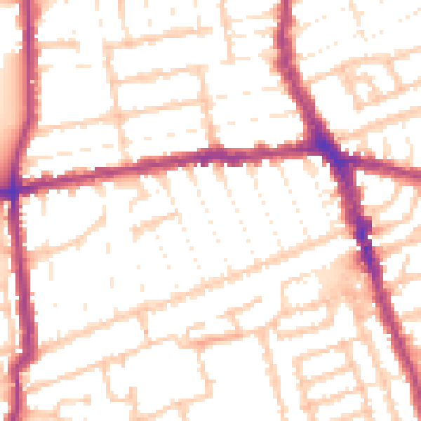
Daytime· 07:00 – 23:00
52.6dB
Night-time· 23:00 – 07:00
42.1dB