11 Fentons Avenue, Newham, London, E13 0AX
About 11 Fentons Avenue
11 Fentons Avenue is a two-bedroom mid-terrace house in Newham, London, London (E13 0AX). It has a recorded floor area of 74 m² (around 797 sq ft), construction records dating it to 1930-1949 and council tax band C. The latest certificate (June 2014) shows an E (score 51), well below the UK norm with real room to improve. The rating has held steady at E across 3 certificates since December 2008. Between certificates, lighting went from Average to Very Good and main heating went from Average to Good; while wall efficiency dropped from Good to Very Poor and window efficiency dropped from Good to Average. The recommended improvements would lift it to B (score 88), a 3-band jump. The latest certificate is from June 2014, so improvements made since then won't be reflected.
On energy efficiency it sits in the bottom 10% of properties in this postcode — significant headroom for improvement. Across 2009–2012, sale prices on this property compounded at 10.6% per year. Today's modelled estimate of £375,000 sits 87.5% above the 2012 sale of £200,000. On a £-per-square-foot basis, the last sale (£251/sq ft) was about 45.1% above the typical sold price in the postcode. 14 years since the last transfer (January 2012).
Know exactly what you're buying at 11 Fentons Avenue
Before you offer, see what the listing won't tell you, the true value, the red flags and the full history.
Already flagged here
Valuation
against the asking price
Risks
planning & flood
Sold prices
similar homes nearby
Trends
the local market
What this property has
Inside
- Bedrooms2
- Dining roomYes
Outside
- ParkingUnderground
Building
- RefurbishedYes
Energy performance
11 Fentons Avenue sits at the bottom of the postcode for energy efficiency — meaningful headroom to improve.
EPC Expired
This certificate is over 10 years old and is no longer valid.Expired 18 Jun 2024
EPC Rating
Property Improvements
Changes detected from historical EPC data
Heating controls upgraded for better temperature management
Hot water efficiency improved
Heating controls changed
Hot water efficiency decreased
Roof insulation improved
More low energy lighting installed
Planning history
11 Fentons Avenue has no planning applications on record.
Notable planning nearby
8applications of note in the surrounding area
We flagged 1 thing worth checking at 11 Fentons Avenue
Independent checks surfaced things a buyer would want to understand before offering. The report explains each one in full, with the underlying data and what to ask.
- Signs of HMO activity in the area
30-day money-back guarantee
Sales history & valuation
11 Fentons Avenue valuation sits well clear of the typical sold price in this postcode.
£375,000
Modelled from EPC, postcode comparables and a sale-price growth of 10.6% per year over 3 years.
£200,000
Growth on file: 10.6% per year over 3 years.
Sales timeline
30 January 2012Most recent
£200,000
+33.3%over 2 years27 March 2009
£150,000
Median price across the last 5 sales in E13 0AX: £403,000 (2022–2021).
Nearby sales in E13 0AX
31 Fentons Avenue, Newham, London, E13 0AX
Sold May 2022
£473,000Flat A, 28 Fentons Avenue, London, E13 0AX
Sold Nov 2021
£212,50034 Fentons Avenue, Newham, London, E13 0AX
Sold Jun 2021
£403,00028 Fentons Avenue, Newham, London, E13 0AX
Sold Apr 2021
£212,50037a, Fentons Avenue, Newham, London, E13 0AX
Sold Feb 2021
£525,000
Everything we know about 11 Fentons Avenue, in one report
What it's really worth, what could be wrong, and the planning, sales and area data in full.
What we flagged
- Signs of HMO activity in the area

Versus other Fentons Avenue homes
11 Fentons Avenue is notably below the street on epc rating.
Price per m²
£2,703
Street avg £2,506
Floor Area
74 m²
Street avg 84 m²
Habitable Rooms
3 rooms
Street avg 5 rooms
CO₂ Emissions
4.6 t/year
Street avg 3.3 t/year
Similar properties nearby
1 Fothergill Close, Newham
E13 0LJ
1 Juliette Road, Newham
E13 0DL
1 Grasmere Road, Newham
E13 0BA
1 Gwendoline Avenue, Newham
E13 0RF
1 Dimsdale Walk, Newham
E13 0LW
1 Antigua Mews, Newham
E13 0BF
1 Beardsfield, Newham
E13 0LD
1 Bemersyde Point, Dongola Road West, Newham
E13 0AW
The neighbourhood at a glance
Rail-style transport is unusually close for this postcode.
Crime
7/mo
Rising year-on-year across the wider district.
Nearest stop
0.1 km
Plaistow Broadway — bus stop.
Closest school
0.4 km
Southern Road Primary School. 90 schools nearby.
Go deeper on the local area
The full report breaks down crime, transport links, schools and air quality in depth.
Road noise across the postcode
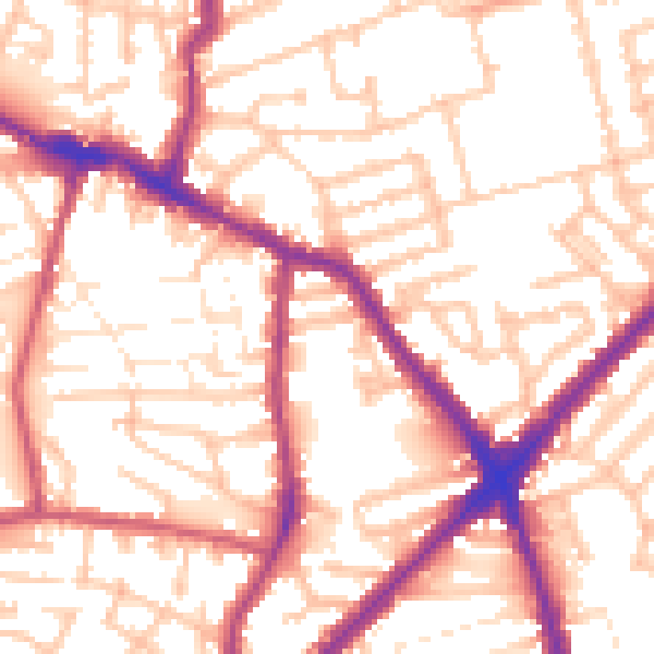
Daytime· 07:00 – 23:00
54.9dB

Night-time· 23:00 – 07:00
44.9dB