Opus Studios, Flat 1, 214 Plaistow Road, Newham, London, E13 0AQ
About Opus Studios
Opus Studios is a one-bedroom end-of-terrace house in Newham, London, London (E13 0AQ). It has a recorded floor area of 68 m² (around 735 sq ft), construction records dating it to 1996-2002 and council tax band C. At 68 m² this is the 8th smallest of 28 units on EPC record in Opus Studios, where floor areas span 56–118 m². The building's EPC ratings span D to B across 28 units on file. The latest certificate (February 2009) shows a C (score 80), near the top of the C band. The recommended improvements would push it to B (score 84). The latest certificate is from February 2009, so improvements made since then won't be reflected.
Untraded for 19 years, with the last transfer in September 2007. That sale landed at the peak of the pre-credit-crunch market, which is a useful reference point when interpreting the price. 2 planning records sit against the property, 2 approved, 0 refused. Past consents include change of use to residential, meaningful when judging how the property has evolved. Across 2002–2007, sale prices on this property compounded at 8.7% per year. Today's modelled estimate of £236,000 is 24.2% above the 2007 sale price. On a £-per-square-foot basis, the last sale (£258/sq ft) was about 35% above the typical sold price in the postcode.
Know exactly what you're buying at Opus Studios
Before you offer, see what the listing won't tell you, the true value, the red flags and the full history.
Already flagged here
Valuation
against the asking price
Risks
planning & flood
Sold prices
similar homes nearby
Trends
the local market
What this property has
Inside
- Bedrooms1
Building
- ConciergeYes
Energy performance
Opus Studios's EPC is over a decade old — improvements since won't be reflected.
EPC Expired
This certificate is over 10 years old and is no longer valid.Expired 12 Feb 2019
EPC Rating
Planning history
- Dec 2021OutlineIn report
Certificate of Lawfulness for the replacement of cladding materials and sub-frame to address any fire safety concerns.
- Agent
- Finley Harrison Architectural Services
- Documents
- 19 docs on file
- Reference
- 21/02873/CLP
- Jul 2019Change of UseAmendmentIn report
Change of use from live/work unit to a residential flat.
- Documents
- 6 docs on file
- Reference
- 19/01397/COU
We flagged 1 thing worth checking at Opus Studios
Independent checks surfaced things a buyer would want to understand before offering. The report explains each one in full, with the underlying data and what to ask.
- Signs of HMO activity in the area
30-day money-back guarantee
Sales history & valuation
The latest sale landed at the peak of the pre-credit-crunch market — a high-water reference point.
£236,000
Modelled from EPC, postcode comparables and a sale-price growth of 8.7% per year over 6 years.
£190,000
Growth on file: 8.7% per year over 6 years.
Sales timeline
27 September 2007Most recent
£190,000
+59.0%over 5 years25 February 2002
£119,500
Median price across the last 5 sales in E13 0AQ: £309,000 (2024–2017).
Nearby sales in E13 0AQ
Opus Studios, Flat 5, 214 Plaistow Road, Newham, London, E13 0AQ
Sold Oct 2024
£235,000Opus Studios, Flat 25, 214 Plaistow Road, Newham, London, E13 0AQ
Sold Nov 2018
£317,500Opus Studios, Flat 29, 214 Plaistow Road, Newham, London, E13 0AQ
Sold Aug 2017
£330,000Opus Studios, Flat 17, 214 Plaistow Road, Newham, London, E13 0AQ
Sold Jun 2017
£309,000Opus Studios, Flat 22, 214 Plaistow Road, Newham, London, E13 0AQ
Sold May 2017
£306,000
Everything we know about Opus Studios, in one report
What it's really worth, what could be wrong, and the planning, sales and area data in full.
What we flagged
- Signs of HMO activity in the area

Versus other Plaistow Road homes
Price per m²
£2,781
Street avg £2,756
Floor Area
68 m²
Street avg 79 m²
Habitable Rooms
2 rooms
Street avg 3 rooms
CO₂ Emissions
1.8 t/year
Street avg 1.8 t/year
Similar properties nearby
2a, Flat 8, Dundee Road, Newham
E13 0BQ
2a, Flat 7, Dundee Road, Newham
E13 0BQ
128 148, Flat 11, High Street, Newham
E13 0AP
2a, Flat 11, Dundee Road, Newham
E13 0BQ
128 148, Flat 10, High Street, Newham
E13 0AP
215a, Flat 1, Plashet Road, Newham
E13 0QU
230d, Flat 3, Grange Road, Newham
E13 0HB
2a, Flat 6, Dundee Road, Newham
E13 0BQ
The neighbourhood at a glance
Rail-style transport is unusually close for this postcode.
Crime
7/mo
Rising year-on-year across the wider district.
Nearest stop
0.1 km
Plaistow — bus stop.
Closest school
0.2 km
Curwen Primary School. 94 schools nearby.
Go deeper on the local area
The full report breaks down crime, transport links, schools and air quality in depth.
Road noise across the postcode
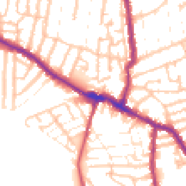
Daytime· 07:00 – 23:00
52.7dB
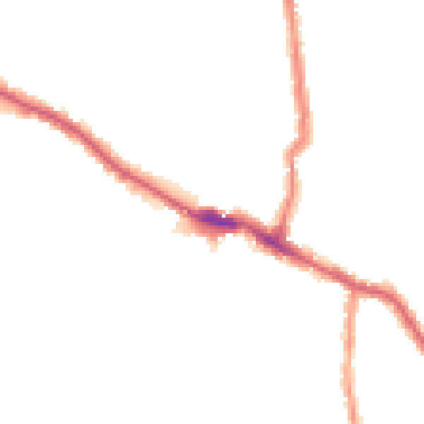
Night-time· 23:00 – 07:00
42.8dB