3a, Claremont Road, Waltham Forest, London, E11 4EE
About 3a
3a is a one-bedroom end-of-terrace house in Waltham Forest, London, London (E11 4EE). It has a recorded floor area of 59 m² (around 635 sq ft) and construction records dating it to 1967-1975. Tenure is freehold. The latest certificate (June 2021) shows a C (score 74). The rating has held steady at C across 2 certificates since September 2018. Between certificates, lighting went from Good to Very Good; while window efficiency dropped from Good to Average. The recommended improvements would push it to B (score 90).
Today's modelled estimate of £419,000 is 16.4% above the 2020 sale price. On a £-per-square-foot basis, the last sale (£567/sq ft) was about 85.4% above the typical sold price in the postcode. At 59 m² it's 28.9% smaller than the typical home in the postcode (83 m² median across 5 EPCs). Sold December 2020 for £360,000.
Know exactly what you're buying at 3a
Before you offer, see what the listing won't tell you, the true value, the red flags and the full history.
Already flagged here
Valuation
against the asking price
Risks
planning & flood
Sold prices
similar homes nearby
Trends
the local market
What this property has
Inside
- Bedrooms1
- Bathrooms1
- Open-plan layoutYes
Building
- TenureFreehold
Energy performance
EPC Rating
Property Improvements
Changes detected from historical EPC data
More low energy lighting installed
Planning history
3a has no planning applications on record.
Notable planning nearby
24applications of note in the surrounding area
We flagged 1 thing worth checking at 3a
Independent checks surfaced things a buyer would want to understand before offering. The report explains each one in full, with the underlying data and what to ask.
- Signs of HMO activity in the area
30-day money-back guarantee
Sales history & valuation
The latest sale landed in the post-pandemic price surge — useful context when reading the figure.
£419,000
Modelled from EPC, postcode comparables.
£360,000
Recorded with HM Land Registry.
Sales timeline
11 December 2020Most recent
£360,000
Median price across the last 5 sales in E11 4EE: £380,000 (2022–2016).
Nearby sales in E11 4EE
1 Claremont Road, Waltham Forest, London, E11 4EE
Sold Nov 2022
£458,0003 Claremont Road, Waltham Forest, London, E11 4EE
Sold Aug 2021
£250,0004 Claremont Road, Waltham Forest, London, E11 4EE
Sold Aug 2021
£250,0002 Claremont Road, Waltham Forest, London, E11 4EE
Sold May 2016
£380,0005 Claremont Road, Waltham Forest, London, E11 4EE
Sold Feb 2007
£250,000
Everything we know about 3a, in one report
What it's really worth, what could be wrong, and the planning, sales and area data in full.
What we flagged
- Signs of HMO activity in the area

Versus other Claremont Road homes
3a outperforms the street on price per m² by a wide margin.
Price per m²
£6,102
Street avg £3,012
Floor Area
59 m²
Street avg 83 m²
Habitable Rooms
3 rooms
Street avg 5 rooms
CO₂ Emissions
1.8 t/year
Street avg 2.0 t/year
Similar properties nearby
1 Guernsey Road, Waltham Forest
E11 4BJ
1 Chertsey Road, Waltham Forest
E11 4DG
1 Drayton Road, Waltham Forest
E11 4AR
1 Claremont Road, Waltham Forest
E11 4EE
1 Harold Road, Waltham Forest
E11 4QX
1 George Mews, Waltham Forest
E11 4GZ
1 Calderon Road, Waltham Forest
E11 4ET
1 Brierley House, 1 Brierley Road, Waltham Forest
E11 4JE
The neighbourhood at a glance
Rail-style transport is unusually close for this postcode.
Crime
5/mo
Rising year-on-year across the wider district.
Nearest stop
0.0 km
Francis Road (E10) — bus stop.
Closest school
0.4 km
Newport School. 66 schools nearby.
Go deeper on the local area
The full report breaks down crime, transport links, schools and air quality in depth.
Road noise across the postcode
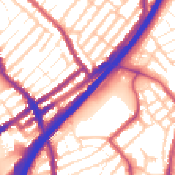
Daytime· 07:00 – 23:00
57.5dB

Night-time· 23:00 – 07:00
48.4dB