7 Dyers Hall Road, Waltham Forest, London, E11 4AD
About 7 Dyers Hall Road
7 Dyers Hall Road is a mid-terrace house in Waltham Forest, London, London (E11 4AD). It has a recorded floor area of 103 m² (around 1109 sq ft), construction records dating it to 1900-1929 and council tax band C. The latest certificate (March 2018) shows a D (score 67), on the cusp of jumping into the C band. The recommended improvements would lift it to B (score 84), a 2-band jump.
Untraded for 25 years, with the last transfer in September 2001. Across 2001–2001, sale prices on this property compounded at 24.1% per year. Today's modelled estimate of £754,000 sits 318.9% above the 2001 sale of £180,000. On a £-per-square-foot basis, the last sale (£162/sq ft) was about 58.5% below the postcode norm. 2 planning records sit against the property, 2 approved, 0 refused. Past consents include HMO conversion and an extension, meaningful when judging how the property has evolved.
Know exactly what you're buying at 7 Dyers Hall Road
Before you offer, see what the listing won't tell you, the true value, the red flags and the full history.
Already flagged here
Valuation
against the asking price
Risks
planning & flood
Sold prices
similar homes nearby
Trends
the local market
Energy performance
Recommended upgrades on file would lift this property by multiple EPC bands.
EPC Rating
Planning history
7 Dyers Hall Road has an approved single-storey rear extension on the planning record.
- Aug 2018HMOAmendmentIn report
Lawful Development Certificate (Existing)- Continuous use of property as HMO.
- Council
- LEYTONSTONE
Retrospective- Documents
- 2 docs on file
- Reference
- 181145
- Oct 2002ExtensionOutlineIn report
Extension: Single storey · Rear of property
Erection of a single storey rear extension as described in application2002/1278/CLP and as illustrated by plan reference D300/1 and D300/2 received on 3rd September 2002. Erection of a single storey rear extension
- Council
- **
- Documents
- 1 doc on file
- Reference
- 021230
We flagged 2 things worth checking at 7 Dyers Hall Road
Independent checks surfaced things a buyer would want to understand before offering. The report explains each one in full, with the underlying data and what to ask.
- Signs of HMO activity in the area
- Recent ownership pattern worth a look
30-day money-back guarantee
Sales history & valuation
7 Dyers Hall Road's modelled value sits at over four times its earliest registered sale price (2001).
£754,000
Modelled from EPC, postcode comparables and a sale-price growth of 24.1% per year over 1 year.
£180,000
Growth on file: 24.1% per year over 1 year.
Sales timeline
3 September 2001Most recent
£180,000
+24.1%22 July 2001
£145,000
Median price across the last 5 sales in E11 4AD: £763,000 (2024–2014).
Nearby sales in E11 4AD
1a, Dyers Hall Road, Waltham Forest, London, E11 4AD
Sold Oct 2024
£825,0001 Dyers Hall Road, Waltham Forest, London, E11 4AD
Sold Oct 2023
£885,00015 Dyers Hall Road, Waltham Forest, London, E11 4AD
Sold Oct 2011
£280,00019 Dyers Hall Road, Waltham Forest, London, E11 4AD
Sold Dec 2005
£250,00017 Dyers Hall Road, Waltham Forest, London, E11 4AD
Sold Sept 1999
£47,500
Everything we know about 7 Dyers Hall Road, in one report
What it's really worth, what could be wrong, and the planning, sales and area data in full.
What we flagged
- Signs of HMO activity in the area
- Recent ownership pattern worth a look

Versus other Dyers Hall Road homes
7 Dyers Hall Road is notably below the street on price per m².
Price per m²
£1,748
Street avg £5,641
Floor Area
103 m²
Street avg 114 m²
Habitable Rooms
7 rooms
Street avg 5 rooms
CO₂ Emissions
3.7 t/year
Street avg 4.0 t/year
Similar properties nearby
1 Chertsey Road, Waltham Forest
E11 4DG
1 Apollo Place, Waltham Forest
E11 4LR
1 Kimberley Road, Waltham Forest
E11 4DQ
1 Grove Green Road, Waltham Forest
E11 4EG
1 Harold Road, Waltham Forest
E11 4QX
1 Goodall Road, Waltham Forest
E11 4ER
1 Colville Road, Waltham Forest
E11 4EQ
1 Burghley Road, Waltham Forest
E11 4QP
The neighbourhood at a glance
Rail-style transport is unusually close for this postcode.
Crime
5/mo
Rising year-on-year across the wider district.
Nearest stop
0.1 km
Drayton Road — bus stop.
Closest school
0.1 km
Connaught School for Girls. 56 schools nearby.
Go deeper on the local area
The full report breaks down crime, transport links, schools and air quality in depth.
Road noise across the postcode
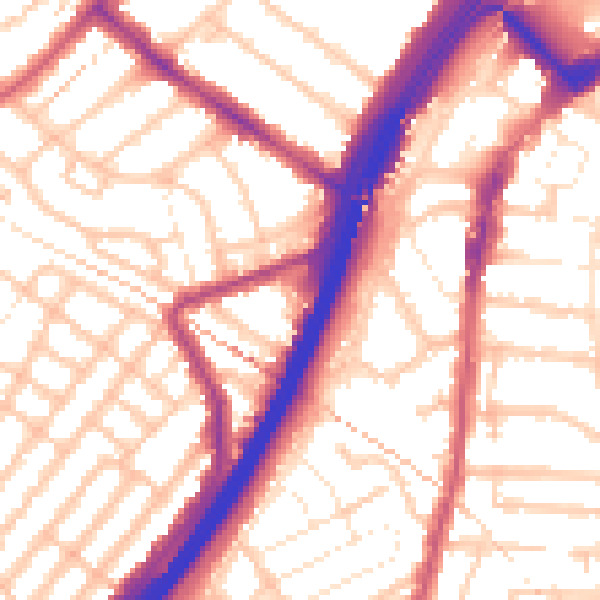
Daytime· 07:00 – 23:00
55.9dB

Night-time· 23:00 – 07:00
46.1dB