Flat 1, 54 Davies Lane, London, E11 3DR
About Flat 1
Flat 1 is a detached house in London (E11 3DR). It has a recorded floor area of 43 m² (around 462 sq ft), construction records dating it to before 1900 and council tax band B. The latest certificate (October 2008) shows a D (score 57), a step below the typical UK home. The latest certificate is from October 2008, so improvements made since then won't be reflected.
At 43 m² it sits well below the postcode median (111 m² across 26 EPCs), making it one of the more compact homes locally. Last sale on file: £427,000 in September 2024. Across the public record there are 5 sales, relatively high churn for a single property. Across 1999–2024, sale prices on this property compounded at 7.5% per year. On a £-per-square-foot basis, the last sale (£925/sq ft) was about 331% above the typical sold price in the postcode.
Know exactly what you're buying at Flat 1
Before you offer, see what the listing won't tell you, the true value, the red flags and the full history.
Already flagged here
Valuation
against the asking price
Risks
planning & flood
Sold prices
similar homes nearby
Trends
the local market
Energy performance
Flat 1's EPC is over a decade old — improvements since won't be reflected.
EPC Expired
This certificate is over 10 years old and is no longer valid.Expired 18 Oct 2018
EPC Rating
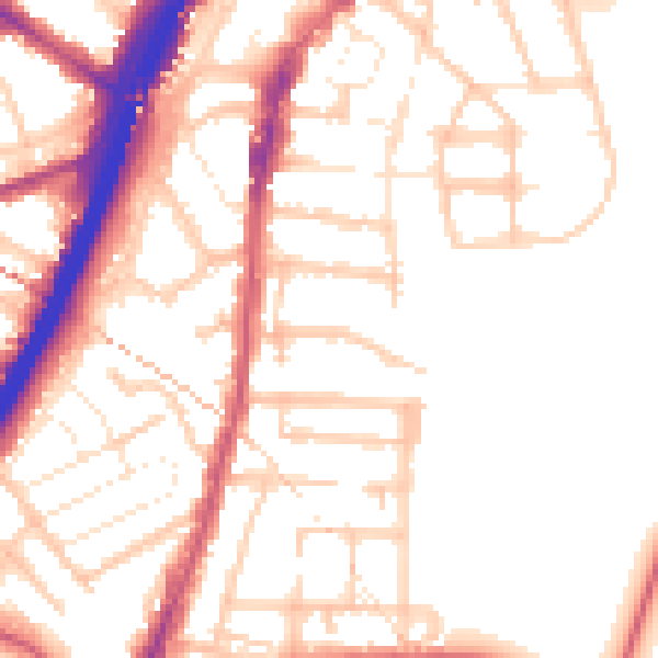
Planning history
Flat 1 has no planning applications on record.
Notable planning nearby
14applications of note in the surrounding area
We flagged 1 thing worth checking at Flat 1
Independent checks surfaced things a buyer would want to understand before offering. The report explains each one in full, with the underlying data and what to ask.
- Signs of HMO activity in the area
30-day money-back guarantee
Sales history & valuation
Flat 1 has more than quadrupled in price since its earliest registered sale in 1999.
£410,000
Modelled from EPC, postcode comparables and a sale-price growth of 7.5% per year over 25 years.
£427,000
Growth on file: 7.5% per year over 25 years.
Sales timeline
5 September 2024Most recent
£427,000
+22.0%over 7 years4 April 2017
£350,000
+66.7%over 3 years25 July 2013
£210,000
+15.8%over 5 years3 April 2008
£181,300
+157.2%over 8 years2 December 1999
£70,500
Median price across the last 5 sales in E11 3DR: £647,500 (2025–2021).
Nearby sales in E11 3DR
34 Davies Lane, Waltham Forest, London, E11 3DR
Sold Aug 2025
£982,777Flat 2, 4 Davies Lane, London, E11 3DR
Sold Apr 2025
£465,000Flat 1, 4 Davies Lane, London, E11 3DR
Sold Apr 2025
£500,00026 Davies Lane, Waltham Forest, London, E11 3DR
Sold Jun 2024
£647,50036 Davies Lane, Waltham Forest, London, E11 3DR
Sold Jun 2021
£975,000
Everything we know about Flat 1, in one report
What it's really worth, what could be wrong, and the planning, sales and area data in full.
What we flagged
- Signs of HMO activity in the area

Versus other Davies Lane homes
On price per m², Flat 1 stands well clear of the street.
Price per m²
£9,953
Street avg £3,505
Floor Area
43 m²
Street avg 53 m²
Habitable Rooms
2 rooms
Street avg 3 rooms
CO₂ Emissions
3.3 t/year
Street avg 2.1 t/year
Similar properties nearby
178a, Flat 4, High Road Leytonstone
E11 3HU
178a, Flat 5, High Road Leytonstone
E11 3HU
178a, Flat 3, High Road Leytonstone
E11 3HU
178a, Flat 1, High Road Leytonstone
E11 3HU
178a, Flat 6, High Road Leytonstone
E11 3HU
178a, Flat 2, High Road Leytonstone
E11 3HU
119b, Flat 3, Harrow Road, Waltham Forest
E11 3PX
178a, Flat 7, High Road Leytonstone
E11 3HU
The neighbourhood at a glance
Rail-style transport is unusually close for this postcode.
Crime
5/mo
Rising year-on-year across the wider district.
Nearest stop
0.2 km
Vernon Rd/Leytonstone High Rd — bus stop.
Closest school
0.0 km
Davies Lane Primary School. 57 schools nearby.
Go deeper on the local area
The full report breaks down crime, transport links, schools and air quality in depth.
Road noise across the postcode
Daytime· 07:00 – 23:00
52.9dB

Night-time· 23:00 – 07:00
43.3dB