Flat A, 1 Kings Road, London, E11 1AU
About Flat A
Flat A is an end-of-terrace house in London (E11 1AU). It has a recorded floor area of 63 m² (around 682 sq ft) and construction records dating it to 1900-1929. The latest certificate (October 2008) shows a C (score 70). The latest certificate is from October 2008, so improvements made since then won't be reflected.
Its energy rating outperforms most of the postcode (better than 79% of similar EPCs). Today's modelled estimate of £428,000 is 41.3% above the 2024 sale price. On a £-per-square-foot basis, the last sale (£444/sq ft) was about 76.5% above the typical sold price in the postcode. Most recent transfer: August 2024 at £303,000.
Know exactly what you're buying at Flat A
Before you offer, see what the listing won't tell you, the true value, the red flags and the full history.
Already flagged here
Valuation
against the asking price
Risks
planning & flood
Sold prices
similar homes nearby
Trends
the local market
Energy performance
Flat A's EPC is over a decade old — improvements since won't be reflected.
EPC Expired
This certificate is over 10 years old and is no longer valid.Expired 20 Oct 2018
EPC Rating
Planning history
Flat A has no planning applications on record.
Notable planning nearby
14applications of note in the surrounding area
We flagged 2 things worth checking at Flat A
Independent checks surfaced things a buyer would want to understand before offering. The report explains each one in full, with the underlying data and what to ask.
- Signs of HMO activity in the area
- Larger development activity nearby
30-day money-back guarantee
Sales history & valuation
Flat A valuation sits well clear of the typical sold price in this postcode.
£428,000
Modelled from EPC, postcode comparables.
£303,000
Recorded with HM Land Registry.
Sales timeline
22 August 2024Most recent
£303,000
Median price across the last 5 sales in E11 1AU: £480,000 (2024–2020).
Nearby sales in E11 1AU
Everything we know about Flat A, in one report
What it's really worth, what could be wrong, and the planning, sales and area data in full.
What we flagged
- Signs of HMO activity in the area
- Larger development activity nearby

Versus other Kings Road homes
Years Held for Flat A lags the street by a wide margin.
Price per m²
£4,784
Street avg £3,536
Floor Area
63 m²
Street avg 60 m²
Habitable Rooms
4 rooms
Street avg 3 rooms
CO₂ Emissions
2.7 t/year
Street avg 2.8 t/year
Similar properties nearby
33a, Flat 1, Fladgate Road
E11 1LX
2 4, Apartment 6, Forest Drive East, Waltham Forest
E11 1FA
139 141, Flat 2, Hainault Road
E11 1DT
2 4, Apartment 1, Forest Drive East, Waltham Forest
E11 1FA
2 4, Apartment 3, Forest Drive East, Waltham Forest
E11 1FA
14 15, Flat 4, Church Lane, Waltham Forest
E11 1HG
2 4, Apartment 7, Forest Drive East, Waltham Forest
E11 1FA
14 15, Flat 2, Church Lane, Waltham Forest
E11 1HG
The neighbourhood at a glance
Rail-style transport is unusually close for this postcode.
Crime
5/mo
Rising year-on-year across the wider district.
Nearest stop
0.2 km
Clarendon Road (E11) — bus stop.
Closest school
0.4 km
Gwyn Jones Primary School. 58 schools nearby.
Go deeper on the local area
The full report breaks down crime, transport links, schools and air quality in depth.
Road noise across the postcode
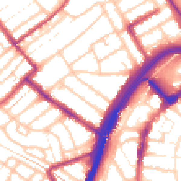
Daytime· 07:00 – 23:00
55.5dB

Night-time· 23:00 – 07:00
45.3dB