169a, Wallwood Road, Waltham Forest, London, E11 1AQ
About 169a
169a is a two-bedroom property in Waltham Forest, London, London (E11 1AQ). It has council tax band B.
Last sold in August 2016, so it's been off the market for around 10 years. Across the public record there are 5 sales, relatively high churn for a single property. Across 1996–2016, sale prices on this property compounded at 10.4% per year.
Know exactly what you're buying at 169a
Before you offer, see what the listing won't tell you, the true value, the red flags and the full history.
Already flagged here
Valuation
against the asking price
Risks
planning & flood
Sold prices
similar homes nearby
Trends
the local market
What this property has
Inside
- Bedrooms2
- EnsuiteYes
- FireplaceYes
Building
- RefurbishedYes
Energy performance
No EPC on record
This property doesn't have an Energy Performance Certificate yet. An EPC is required to sell or let — and unlocks our automated valuation.
Planning history
169a has no planning applications on record.
Notable planning nearby
14applications of note in the surrounding area
We flagged 2 things worth checking at 169a
Independent checks surfaced things a buyer would want to understand before offering. The report explains each one in full, with the underlying data and what to ask.
- Signs of HMO activity in the area
- Larger development activity nearby
30-day money-back guarantee
Sales history & valuation
169a has more than quadrupled in price since its earliest registered sale in 1996.
£390,000
Growth on file: 10.4% per year over 20 years.
Sales timeline
18 August 2016Most recent
£390,000
+77.3%over 3 years8 August 2013
£220,000
+32.1%over 9 years24 January 2004
£166,500
+119.1%over 4 years18 July 1999
£76,000
+38.2%over 2 years16 October 1996
£55,000
Median price across the last 5 sales in E11 1AQ: £445,000 (2023–2015).
Nearby sales in E11 1AQ
137 Wallwood Road, Waltham Forest, London, E11 1AQ
Sold Jun 2023
£360,000141 Wallwood Road, Waltham Forest, London, E11 1AQ
Sold May 2021
£610,000Flat B, 147 Wallwood Road, London, E11 1AQ
Sold Nov 2018
£445,000Flat B, 135 Wallwood Road, London, E11 1AQ
Sold Dec 2014
£336,000139 Wallwood Road, Waltham Forest, London, E11 1AQ
Sold Apr 2014
£610,000
Everything we know about 169a, in one report
What it's really worth, what could be wrong, and the planning, sales and area data in full.
What we flagged
- Signs of HMO activity in the area
- Larger development activity nearby

Similar properties nearby
1 Falcon Way, Redbridge
E11 1SX
1 Integer Gardens, Forest Road, Waltham Forest
E11 1LJ
1 Connor Close, Waltham Forest
E11 1BP
1 Forest Road, Waltham Forest
E11 1JT
1 Forest Drive West, Waltham Forest
E11 1JZ
1 Chadwick Road, Waltham Forest
E11 1NE
1 Kings Road, Waltham Forest
E11 1AU
1 Hatfield House, Teesdale Road, Waltham Forest
E11 1NX
The neighbourhood at a glance
Rail-style transport is unusually close for this postcode.
Crime
5/mo
Rising year-on-year across the wider district.
Nearest stop
0.2 km
Gainsborough Road (E11) — bus stop.
Closest school
0.4 km
Gwyn Jones Primary School. 57 schools nearby.
Go deeper on the local area
The full report breaks down crime, transport links, schools and air quality in depth.
Road noise across the postcode
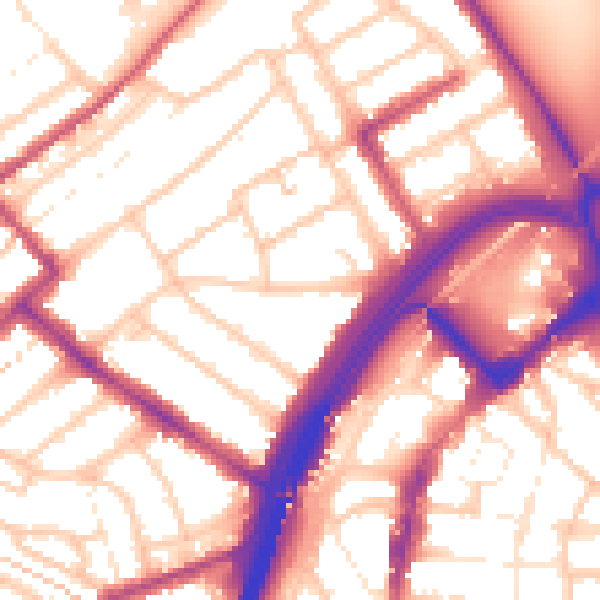
Daytime· 07:00 – 23:00
56.1dB

Night-time· 23:00 – 07:00
46.2dB