19 Roper Way, Dudley, DY3 1BG
About 19 Roper Way
19 Roper Way is a three-bedroom detached house in Dudley (DY3 1BG). It has a recorded floor area of 89 m² (around 958 sq ft), construction records dating it to 1983-1990 and council tax band D. The latest certificate (January 2024) shows a C (score 71). When first surveyed in September 2011 the rating was D, the property has climbed 1 band since. Between certificates, roof efficiency went from Good to Very Good and lighting went from Good to Very Good. The recommended improvements would push it to B (score 84). Other recorded features include a conservatory. The home occupies a cul-de-sac position.
Untraded for 20 years, with the last transfer in November 2006. At 89 m² the property is well over the postcode median (58 m² across 32 EPCs), placing it in the larger end of the local stock. Today's modelled estimate of £312,000 sits 61.7% above the 2006 sale of £192,950. On a £-per-square-foot basis, the last sale (£201/sq ft) was about 33.3% above the typical sold price in the postcode.
What this property has
Inside
- Bedrooms3
- Bathrooms1
- ConservatoryYes
Outside
- Private gardenYes
- Cul-de-sacYes
Building
- RefurbishedYes
Everything you need to know about 19 Roper Way
The true value, the hidden risks and the full sale history, in one report.
30-day money-back guarantee

The data behind every report


Energy performance
EPC Rating
Property Improvements
Changes detected from historical EPC data
Roof insulation improved
More low energy lighting installed
Planning history
19 Roper Way has no planning applications on record.
The full report still covers planning activity across the surrounding area.
Sales history & valuation
19 Roper Way valuation sits well clear of the typical sold price in this postcode.
£312,000
Modelled from EPC, postcode comparables.
£192,950
Recorded with HM Land Registry.
Sales timeline
1 November 2006Most recent
£192,950
Median price across the last 5 sales in DY3 1BG: £209,950 (2025–2024).
Versus other Roper Way homes
19 Roper Way outperforms the street on floor area by a wide margin.
Price per m²
£2,168
Street avg £2,473
Floor Area
89 m²
Street avg 68 m²
Habitable Rooms
5 rooms
Street avg 4 rooms
CO₂ Emissions
3.2 t/year
Street avg 3.0 t/year
Everything you need to know about 19 Roper Way
The true value, the hidden risks and the full sale history, in one report.
30-day money-back guarantee
The data behind every report
Similar properties nearby
The neighbourhood at a glance
Daytime road noise here sits well below conversation level — a quiet pocket of the postcode.
Crime
6/mo
Steady year-on-year across the wider district.
Nearest stop
2.0 km
Coseley Rail Station — railway station.
Closest school
0.1 km
Beacon Hill Academy. 29 schools nearby.
Go deeper on the local area
The full report breaks down crime, transport links, schools and air quality in depth.
Road noise across the postcode
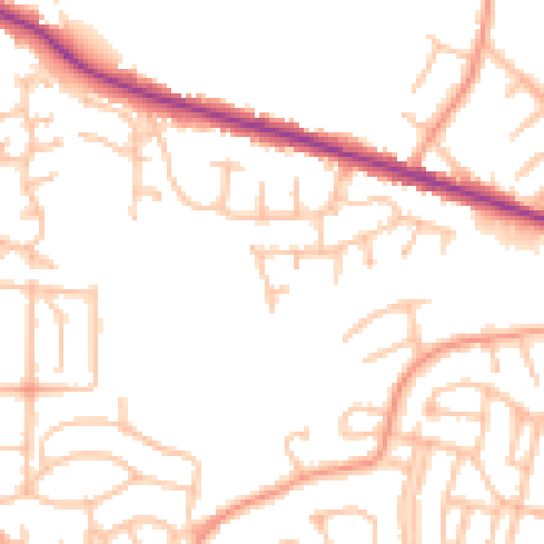
Daytime· 07:00 – 23:00
49.6dB

Night-time· 23:00 – 07:00
39.6dB