11 Roper Way, Dudley, DY3 1BG
About 11 Roper Way
11 Roper Way is a one-bedroom end-of-terrace house in Dudley (DY3 1BG). It has a recorded floor area of 44 m² (around 474 sq ft), construction records dating it to 1976-1982 and council tax band A. At 44 m² this is the 2nd smallest of 33 units on EPC record in the building, where floor areas span 44–118 m². The building's EPC ratings span E to C across 33 units on file. The latest certificate (October 2018) shows a D (score 67), on the cusp of jumping into the C band. The recommended improvements would push it to C (score 76).
It hasn't traded since March 2000, a hold of 26 years that's notably long for the area. Today's modelled estimate of £110,000 sits 228.4% above the 2000 sale of £33,500. On a £-per-square-foot basis, the last sale (£71/sq ft) was about 56.7% below the postcode norm. At 44 m² it's 26.7% smaller than the typical home in the postcode (60 m² median across 32 EPCs). 1 bedrooms is on the smaller side for this postcode, where 3 is the typical count.
What this property has
Inside
- Bedrooms1
- Bathrooms1
Everything you need to know about 11 Roper Way
The true value, the hidden risks and the full sale history, in one report.
30-day money-back guarantee

The data behind every report


Energy performance
EPC Rating
Planning history
11 Roper Way has no planning applications on record.
The full report still covers planning activity across the surrounding area.
Sales history & valuation
11 Roper Way's estimated value is more than triple its earliest registered sale price (1996).
£110,000
Modelled from EPC, postcode comparables and a sale-price growth of -0.4% per year over 4 years.
£33,500
Growth on file: -0.4% per year over 4 years.
Sales timeline
30 March 2000Most recent
£33,500
-1.3%over 3 years15 August 1996
£33,950
Median price across the last 5 sales in DY3 1BG: £209,950 (2025–2024).
Versus other Roper Way homes
On price per m², 11 Roper Way runs well behind the street norm.
Price per m²
£761
Street avg £1,458
Floor Area
44 m²
Street avg 44 m²
Habitable Rooms
2 rooms
Street avg 2 rooms
CO₂ Emissions
2.0 t/year
Street avg 1.7 t/year
Everything you need to know about 11 Roper Way
The true value, the hidden risks and the full sale history, in one report.
30-day money-back guarantee
The data behind every report
Similar properties nearby
The neighbourhood at a glance
Daytime road noise here sits well below conversation level — a quiet pocket of the postcode.
Crime
6/mo
Steady year-on-year across the wider district.
Nearest stop
2.0 km
Coseley Rail Station — railway station.
Closest school
0.1 km
Beacon Hill Academy. 29 schools nearby.
Go deeper on the local area
The full report breaks down crime, transport links, schools and air quality in depth.
Road noise across the postcode
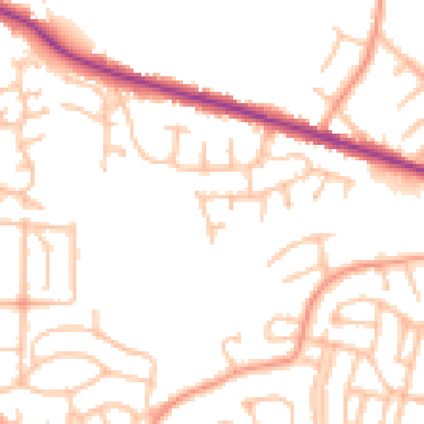
Daytime· 07:00 – 23:00
49.6dB

Night-time· 23:00 – 07:00
39.6dB