4 Ashwood, Leazes Lane, Durham, DH1 1HT
About 4 Ashwood
4 Ashwood is a six-bedroom mid-terrace house in Durham (DH1 1HT). It has a recorded floor area of 119 m² (around 1281 sq ft), construction records dating it to 2003-2006 and council tax band E. The latest certificate (June 2018) shows a C (score 76), near the top of the C band. The recommended improvements would push it to B (score 85).
Last sold in April 2012, so it's been off the market for around 14 years. Today's modelled estimate of £368,000 is 24.7% above the 2012 sale price. 6 bedrooms is on the larger side for this postcode, where 3 is the typical count.
What this property has
Inside
- Bedrooms6
- Bathrooms3
Everything you need to know about 4 Ashwood
The true value, the hidden risks and the full sale history, in one report.
Pick your report · every report is £14.99
One time fee only - money back guarantee

The data behind every report


Energy performance
EPC Rating
Get a survey for this property
Level 2 HomeBuyer Report
We've checked 10 risk factors against the available data for this property and believe a Level 2 HomeBuyer Report could be a suitable option for you.
From £595 · Includes VAT
Planning history
4 Ashwood has no planning applications on record.
But the area is active
72 notable applications nearby — larger schemes and conversions that could reshape the street. The report maps them all.
Sales history & valuation
£368,000
Modelled from EPC, postcode comparables and a sale-price growth of 0.2% per year over 8 years.
£295,000
Growth on file: 0.2% per year over 8 years.
Sales timeline
1 April 2012Most recent
£295,000
+1.7%over 7 years23 June 2004
£290,000
Median price across the last 5 sales in DH1 1HT: £280,000 (2023–2018).
Nearby sales in DH1 1HT
9 Ashwood, Leazes Lane, Durham, DH1 1HT
Sold Mar 2023
£310,0003 Ashwood, Leazes Lane, Durham, DH1 1HT
Sold Aug 2021
£255,0002 Ashwood, Leazes Lane, Durham, DH1 1HT
Sold Sept 2019
£260,0006 Ashwood, Leazes Lane, Durham, DH1 1HT
Sold Sept 2018
£320,0005 Ashwood, Leazes Lane, Durham, DH1 1HT
Sold Apr 2018
£310,000
Versus other Ashwood homes
On epc rating, 4 Ashwood stands well clear of the street.
Price per m²
£2,479
Street avg £2,478
Floor Area
119 m²
Street avg 116 m²
Habitable Rooms
6 rooms
Street avg 5 rooms
CO₂ Emissions
3.0 t/year
Street avg 3.5 t/year
Everything you need to know about 4 Ashwood
The true value, the hidden risks and the full sale history, in one report.
Pick your report · every report is £14.99
One time fee only - money back guarantee
The data behind every report
Similar properties nearby
The neighbourhood at a glance
Crime
6/mo
Steady year-on-year across the wider district.
Nearest stop
0.3 km
Hild-Bede College — bus stop.
Closest school
0.6 km
Durham Sixth Form Centre. 20 schools nearby.
Go deeper on the local area
A Local Area report breaks down crime, transport links, schools and air quality in depth.
Road noise across the postcode
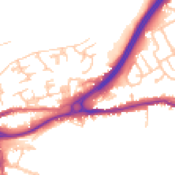
Daytime· 07:00 – 23:00
50.9dB

Night-time· 23:00 – 07:00
42.5dB