9 Swinside Drive, Durham, DH1 1AD
About 9 Swinside Drive
9 Swinside Drive is a three-bedroom semi-detached house in Durham (DH1 1AD). It has a recorded floor area of 114 m² (around 1227 sq ft), construction records dating it to 1950-1966 and council tax band C. The latest certificate (September 2023) shows a C (score 72). The recommended improvements would push it to B (score 84).
At 114 m² it's 18.6% larger than the typical home in the postcode (96 m² median across 10 EPCs). On energy efficiency it sits in the top 10% of properties in this postcode. Today's modelled estimate of £219,000 sits 82.5% above the 2024 sale of £120,000. On a £-per-square-foot basis, the last sale (£98/sq ft) was about 23.3% below the postcode norm. Sold November 2024 for £120,000.
What this property has
Inside
- Bedrooms3
- Bathrooms1
Everything you need to know about 9 Swinside Drive
The true value, the hidden risks and the full sale history, in one report.
Pick your report · every report is £14.99
One time fee only - money back guarantee

The data behind every report


Energy performance
9 Swinside Drive ranks among the most efficient homes in the postcode for energy use.
EPC Rating
Get a survey for this property
Level 2 HomeBuyer Report
We've checked 10 risk factors against the available data for this property and believe a Level 2 HomeBuyer Report could be a suitable option for you.
From £545 · Includes VAT
Planning history
9 Swinside Drive has no planning applications on record.
But the area is active
72 notable applications nearby — larger schemes and conversions that could reshape the street. The report maps them all.
Sales history & valuation
9 Swinside Drive valuation sits well clear of the typical sold price in this postcode.
£219,000
Modelled from EPC, postcode comparables.
£120,000
Recorded with HM Land Registry.
Sales timeline
28 November 2024Most recent
£120,000
Median price across the last 5 sales in DH1 1AD: £135,000 (2024–2018).
Versus other Swinside Drive homes
Price per m² for 9 Swinside Drive lags the street by a wide margin.
Price per m²
£1,053
Street avg £1,505
Floor Area
114 m²
Street avg 95 m²
Habitable Rooms
5 rooms
Street avg 5 rooms
CO₂ Emissions
3.8 t/year
Street avg 5.1 t/year
Everything you need to know about 9 Swinside Drive
The true value, the hidden risks and the full sale history, in one report.
Pick your report · every report is £14.99
One time fee only - money back guarantee
The data behind every report
Similar properties nearby
The neighbourhood at a glance
Crime
6/mo
Steady year-on-year across the wider district.
Nearest stop
0.2 km
Sportsmans Arms — bus stop.
Closest school
0.3 km
Belmont CofE (Controlled) Primary School. 13 schools nearby.
Go deeper on the local area
A Local Area report breaks down crime, transport links, schools and air quality in depth.
Road noise across the postcode
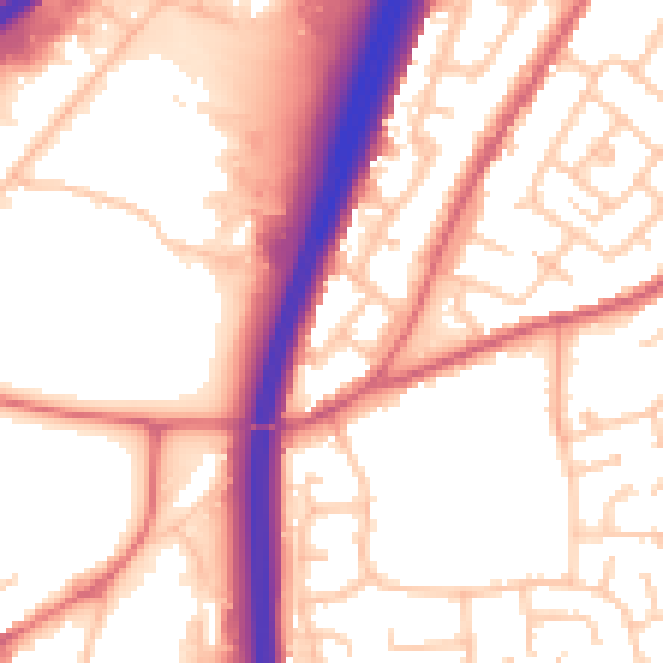
Daytime· 07:00 – 23:00
55.4dB

Night-time· 23:00 – 07:00
45.4dB