8 Kirkfield Drive, Breaston, Derby, DE72 3BA
About 8 Kirkfield Drive
8 Kirkfield Drive is a three-bedroom detached house in Breaston, Derby, Derby (DE72 3BA). It has a recorded floor area of 133 m² (around 1432 sq ft), construction records dating it to 1967-1975 and council tax band D. The latest certificate (April 2025) shows a C (score 70). When first surveyed in September 2017 the rating was D, the property has climbed 1 band since. Between certificates, window efficiency went from Average to Good; while wall efficiency dropped from Good to Average and roof efficiency dropped from Good to Very Poor.
At 133 m² the property is well over the postcode median (81 m² across 6 EPCs), placing it in the larger end of the local stock. On energy efficiency it sits in the top 10% of properties in this postcode. A recent sale: £570,000 in October 2025. 2 planning records sit against the property, 2 approved, 0 refused. Past consents include an extension, a loft conversion and partial demolition, meaningful when judging how the property has evolved. Across 2018–2025, sale prices on this property compounded at 10.6% per year. On a £-per-square-foot basis, the last sale (£398/sq ft) was about 70% above the typical sold price in the postcode.
What this property has
Inside
- Bedrooms3
- Bathrooms2
- Open-plan layoutYes
- Dining roomYes
- EnsuiteYes
Outside
- DrivewayYes
Building
- Heating systemGas
- RefurbishedYes
Everything you need to know about 8 Kirkfield Drive
The true value, the hidden risks and the full sale history, in one report.
Pick your report · every report is £14.99
One time fee only - money back guarantee

The data behind every report


Energy performance
8 Kirkfield Drive ranks among the most efficient homes in the postcode for energy use.
EPC Rating
Property Improvements
Changes detected from historical EPC data
Window efficiency improved
Get a survey for this property
Level 3 Building Survey
Because the property has been extended more than once, we believe a Level 3 building survey should be considered.
From £1,085 · Includes VAT
Planning history
Planning history includes recorded demolition works, indicating a major rebuild phase at this address.
2 applications on record at 8 Kirkfield Drive, Breaston, Derby, DE72 3BA
- Jul 2023Loft ConversionFullOutcome in report
Extension: Single storey · Rear of property
Single storey rear extension and conversion of loft to habitable use, including the installation of rooflights and alterations to fenestration/openings, following the demolition of existing rear conservatory.
ExtensionDemolition- Documents
- 10 docs on file
- Reference
- 0623/0005
- More recent applications — locked
- ExtensionDec 2023Decision
Unlock 8 Kirkfield Drive, Breaston, Derby, DE72 3BA's full planning history
You're seeing the shape of it. The report has the substance.
- Every decision — granted, refused or withdrawn (2 on record)
- All 2 applications on this property in full, plus 1 notable nearby
- The 20 documents, officer reports & conditions
- What the pattern means for extending or converting here
One time fee only - money back guarantee
Sales history & valuation
Latest sale on 8 Kirkfield Drive was the highest on Land Registry record across the postcode.
£529,000
Modelled from EPC, postcode comparables and a sale-price growth of 10.6% per year over 7 years.
£570,000
Growth on file: 10.6% per year over 7 years.
Sales timeline
5 October 2025Most recent
£570,000
+49.0%over 2 years27 February 2023
£382,500
+41.7%over 4 years2 May 2018
£270,000
Median price across the last 5 sales in DE72 3BA: £240,000 (2020–2008).
Nearby sales in DE72 3BA
2 Kirkfield Drive, Breaston, Derby, DE72 3BA
Sold Dec 2020
£310,0001 Kirkfield Drive, Breaston, Derby, DE72 3BA
Sold Jul 2017
£227,0005 Kirkfield Drive, Breaston, Derby, DE72 3BA
Sold Mar 2017
£290,0006 Kirkfield Drive, Breaston, Derby, DE72 3BA
Sold Apr 2015
£210,00010 Kirkfield Drive, Breaston, Derby, DE72 3BA
Sold Apr 2008
£240,000
Versus other Kirkfield Drive homes
Years Held for 8 Kirkfield Drive lags the street by a wide margin.
Price per m²
£4,286
Street avg £2,941
Floor Area
133 m²
Street avg 87 m²
Habitable Rooms
4 rooms
Street avg 5 rooms
CO₂ Emissions
4.6 t/year
Street avg 4.8 t/year
Everything you need to know about 8 Kirkfield Drive
The true value, the hidden risks and the full sale history, in one report.
Pick your report · every report is £14.99
One time fee only - money back guarantee
The data behind every report
Similar properties nearby
1 Astill Pine Close, Breaston
DE72 3BF
1 Amelia Close, Breaston
DE72 3XJ
1 Borrowfield, Borrowash
DE72 3LB
1 Belmont Drive, Borrowash
DE72 3GW
1 Belle Vue Terrace, Borrowash
DE72 3LF
1 Bare Lane, Ockbrook
DE72 3RG
1 Albert Road, Breaston
DE72 3DL
1 Belmont Avenue, Breaston
DE72 3AA
The neighbourhood at a glance
Daytime road noise here sits well below conversation level — a quiet pocket of the postcode.
Crime
3/mo
Steady year-on-year across the wider district.
Nearest stop
0.1 km
The Navigation — bus stop.
Closest school
0.5 km
Firfield Primary School. 13 schools nearby.
Go deeper on the local area
A Local Area report breaks down crime, transport links, schools and air quality in depth.
Road noise across the postcode
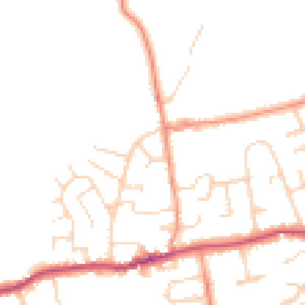
Daytime· 07:00 – 23:00
49.8dB

Night-time· 23:00 – 07:00
41.6dB