18 Grosvenor Avenue, Breaston, Derby, DE72 3AB
About 18 Grosvenor Avenue
18 Grosvenor Avenue is a detached house in Breaston, Derby, Derby (DE72 3AB). It has a recorded floor area of 107 m² (around 1152 sq ft), construction records dating it to 1930-1949 and council tax band D. The latest certificate (May 2011) shows an E (score 54), well below the UK norm with real room to improve. The recommended improvements would push it to D (score 56). The latest certificate is from May 2011, so improvements made since then won't be reflected.
At 107 m² the property is well over the postcode median (80 m² across 31 EPCs), placing it in the larger end of the local stock. It lags the bulk of the postcode on energy efficiency (less efficient than 77% of similar EPCs). Across 1997–2012, sale prices on this property compounded at 7.4% per year. Today's modelled estimate of £340,000 sits 51.1% above the 2012 sale of £225,000. Last sold in September 2012, so it's been off the market for around 14 years.
Everything you need to know about 18 Grosvenor Avenue
The true value, the hidden risks and the full sale history, in one report.
Pick your report · every report is £14.99
One time fee only - money back guarantee

The data behind every report


Energy performance
18 Grosvenor Avenue's carbon output runs well above what efficient homes in the postcode produce.
EPC Expired
This certificate is over 10 years old and is no longer valid.Expired 25 May 2021
EPC Rating
Get a survey for this property
Level 3 Building Survey
Because the property has been extended more than once and has solid (non-cavity) walls, we believe a Level 3 building survey should be considered.
From £955 · Includes VAT
Planning history
18 Grosvenor Avenue has no planning applications on record.
But the area is active
1 notable application nearby — larger schemes and conversions that could reshape the street. The report maps them all.
Sales history & valuation
18 Grosvenor Avenue has more than doubled in price since the earliest registered sale in 1997.
£340,000
Modelled from EPC, postcode comparables and a sale-price growth of 7.4% per year over 15 years.
£225,000
Growth on file: 7.4% per year over 15 years.
Sales timeline
23 September 2012Most recent
£225,000
+23.0%over 10 years5 September 2002
£183,000
+140.8%over 5 years7 August 1997
£76,000
Median price across the last 5 sales in DE72 3AB: £375,000 (2025–2024).
Nearby sales in DE72 3AB
58 Grosvenor Avenue, Breaston, Derby, DE72 3AB
Sold Jun 2025
£390,00056 Grosvenor Avenue, Breaston, Derby, DE72 3AB
Sold Jun 2025
£375,00034 Grosvenor Avenue, Breaston, Derby, DE72 3AB
Sold Jun 2025
£460,0001 Grosvenor Avenue, Breaston, Derby, DE72 3AB
Sold Nov 2024
£292,0008 Grosvenor Avenue, Breaston, Derby, DE72 3AB
Sold May 2024
£250,000
Versus other Grosvenor Avenue homes
Habitable Rooms for 18 Grosvenor Avenue runs comfortably ahead of the street norm.
Price per m²
£2,103
Street avg £3,111
Floor Area
107 m²
Street avg 86 m²
Habitable Rooms
7 rooms
Street avg 5 rooms
CO₂ Emissions
6.4 t/year
Street avg 4.4 t/year
Everything you need to know about 18 Grosvenor Avenue
The true value, the hidden risks and the full sale history, in one report.
Pick your report · every report is £14.99
One time fee only - money back guarantee
The data behind every report
Similar properties nearby
1 Appian Close, Borrowash
DE72 3LY
1 Appletree Close, Borrowash
DE72 3LU
1 Borrowfield, Borrowash
DE72 3LB
1 Ashbrook Avenue, Borrowash
DE72 3JE
1 Ashmeadow, Borrowash
DE72 3LA
1 Belmont Drive, Borrowash
DE72 3GW
1 Bare Lane, Ockbrook
DE72 3RG
1 Belle Vue Terrace, Borrowash
DE72 3LF
The neighbourhood at a glance
Crime
3/mo
Steady year-on-year across the wider district.
Nearest stop
0.3 km
Maxwell Street — bus stop.
Closest school
0.6 km
Firfield Primary School. 16 schools nearby.
Go deeper on the local area
A Local Area report breaks down crime, transport links, schools and air quality in depth.
Road noise across the postcode
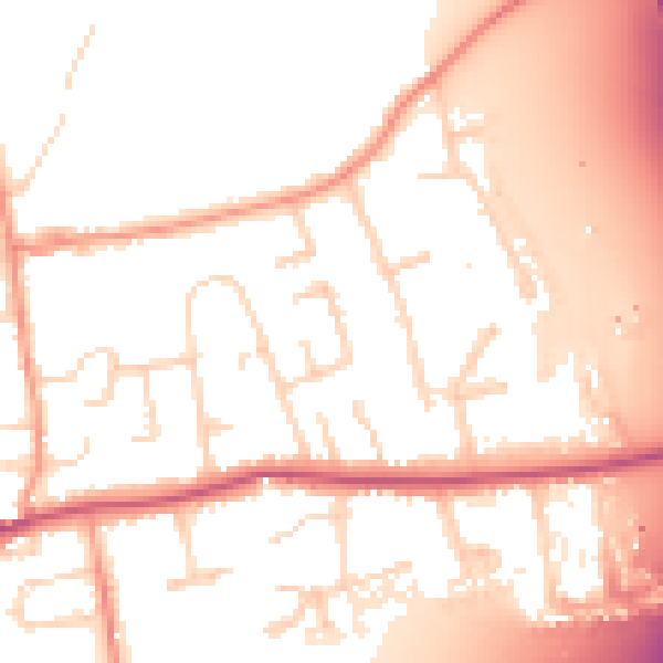
Daytime· 07:00 – 23:00
54.0dB

Night-time· 23:00 – 07:00
46.0dB