42 Coleman Road, Belvedere, DA17 5AN
About 42 Coleman Road
42 Coleman Road is a mid-terrace house in Belvedere (DA17 5AN). It has a recorded floor area of 12 m² (around 129 sq ft), construction records dating it to 1900-1929 and council tax band C. At 12 m² this is the smallest unit on EPC record across the building (12–106 m²). The building's EPC ratings span E to C, with this unit at the bottom. On EPC score it ranks last in the building (43 versus a best of 79). The latest certificate (July 2016) shows an E (score 43), well below the UK norm with real room to improve. Earlier certificates rated it D (August 2009); the latest reading is one band lower. Between certificates, roof efficiency dropped from Average to Very Poor and hot-water efficiency dropped from Good to Very Poor. The recommended improvements would push it to D (score 57). Main heating runs on electricity.
Across 2002–2019, sale prices on this property compounded at 8.8% per year. Today's modelled estimate of £314,000 is 30.2% below the 2019 sale of £450,000, an unusual pattern given regional price growth and worth checking against the EPC condition. On a £-per-square-foot basis, the last sale (£3,484/sq ft) was about 998.2% above the typical sold price in the postcode. At 12 m² it sits well below the postcode median (82 m² across 23 EPCs), making it one of the more compact homes locally. It lags the bulk of the postcode on energy efficiency (less efficient than 78% of similar EPCs). 2 planning records sit against the property, 2 approved, 0 refused. Past consents include an extension, meaningful when judging how the property has evolved. Sold May 2019 for £450,000.
Know exactly what you're buying at 42 Coleman Road
Before you offer, see what the listing won't tell you, the true value, the red flags and the full history.
Already flagged here
Valuation
against the asking price
Risks
planning & flood
Sold prices
similar homes nearby
Trends
the local market
Energy performance
EPC Rating
Property Improvements
Changes detected from historical EPC data
Heating system changed
Changed to a more efficient fuel source
Heating controls upgraded for better temperature management
Hot water system changed
Low energy lighting percentage decreased
Planning history
42 Coleman Road has 2 separate extension applications on the council record.
- Jul 2013ExtensionOutlineIn report
Extension: Single storey · Rear of property
The erection of a single storey rear extension, which would extend beyond the rear wall of the original house by 6 metres, for which the maximum height would be 2.3 metres.
- Documents
- 6 docs on file
- Reference
- 13/00926/GPDE
- Mar 2010ExtensionFullIn report
Extension: Single storey · Rear of property
Single storey rear extension.
- Documents
- 7 docs on file
- Reference
- 09/01800/FUL
We flagged 2 things worth checking at 42 Coleman Road
Independent checks surfaced things a buyer would want to understand before offering. The report explains each one in full, with the underlying data and what to ask.
- Signs of HMO activity in the area
- Larger development activity nearby
30-day money-back guarantee
Sales history & valuation
Latest sale on 42 Coleman Road was the highest on Land Registry record across the postcode.
£314,000
Modelled from EPC, postcode comparables and a sale-price growth of 8.8% per year over 17 years.
£450,000
Growth on file: 8.8% per year over 17 years.
Sales timeline
19 May 2019Most recent
£450,000
+60.7%over 3 years19 February 2016
£280,000
+166.7%over 13 years22 February 2002
£104,995
Median price across the last 5 sales in DA17 5AN: £325,000 (2025–2018).
Nearby sales in DA17 5AN
Everything we know about 42 Coleman Road, in one report
What it's really worth, what could be wrong, and the planning, sales and area data in full.
What we flagged
- Signs of HMO activity in the area
- Larger development activity nearby

Versus other Coleman Road homes
Price per m² for 42 Coleman Road runs comfortably ahead of the street norm.
Price per m²
£37,500
Street avg £14,881
Floor Area
12 m²
Street avg 28 m²
Habitable Rooms
1 rooms
Street avg 2 rooms
CO₂ Emissions
2.0 t/year
Street avg 1.5 t/year
Similar properties nearby
The neighbourhood at a glance
Rail-style transport is unusually close for this postcode.
Crime
4/mo
Steady year-on-year across the wider district.
Nearest stop
0.2 km
Gilbert Road — bus stop.
Closest school
0.2 km
St Augustine of Canterbury CofE Primary School. 38 schools nearby.
Go deeper on the local area
The full report breaks down crime, transport links, schools and air quality in depth.
Road noise across the postcode
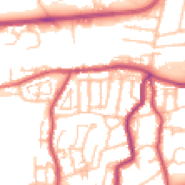
Daytime· 07:00 – 23:00
53.2dB

Night-time· 23:00 – 07:00
43.3dB