42a, Boundary Lane, Congleton, CW12 3JA
About 42a
42a is a detached house in Congleton (CW12 3JA). It has a recorded floor area of 69 m² (around 743 sq ft), construction records dating it to before 1900 and council tax band E. The latest certificate (December 2024) shows a D (score 57), a step below the typical UK home. When first surveyed in July 2011 the rating was E, the property has climbed 1 band since. Between certificates, lighting went from Average to Very Good; while roof efficiency dropped from Good to Poor. The recommended improvements would lift it to B (score 86), a 2-band jump.
Today's modelled estimate of £306,000 sits 54.9% above the 2013 sale of £197,500. On a £-per-square-foot basis, the last sale (£266/sq ft) was about 18.2% above the typical sold price in the postcode. 2 planning records sit against the property, 2 approved, 0 refused. Past consents include an extension, meaningful when judging how the property has evolved. Last sold in May 2013, so it's been off the market for around 13 years. At 69 m² it's 25% smaller than the typical home in the postcode (92 m² median across 27 EPCs).
Know exactly what you're buying at 42a
Before you offer, see what the listing won't tell you, the true value, the red flags and the full history.
Already flagged here
Valuation
against the asking price
Risks
planning & flood
Sold prices
similar homes nearby
Trends
the local market
Energy performance
Recommended upgrades on file would lift this property by multiple EPC bands.
EPC Rating
Property Improvements
Changes detected from historical EPC data
More low energy lighting installed
Planning history
- Feb 2014RenovationAmendmentIn report
Non Material amendment 11/1876C - Change window of rear elevation
- Documents
- 6 docs on file
- Reference
- 14/0264C
- Jul 2011ExtensionFullIn report
Extension: Two storey · Rear of property
Alterations and Extensions to Existing Dwelling Comprising Two Storey Extension to Rear, Single Storey Extension to Side and Erection of Car Port
- Reference
- 11/1876C
We flagged 1 thing worth checking at 42a
Independent checks surfaced things a buyer would want to understand before offering. The report explains each one in full, with the underlying data and what to ask.
- Larger development activity nearby
30-day money-back guarantee
Sales history & valuation
42a valuation sits well clear of the typical sold price in this postcode.
£306,000
Modelled from EPC, postcode comparables.
£197,500
Recorded with HM Land Registry.
Sales timeline
30 May 2013Most recent
£197,500
Median price across the last 5 sales in CW12 3JA: £330,000 (2024–2023).
Nearby sales in CW12 3JA
Everything we know about 42a, in one report
What it's really worth, what could be wrong, and the planning, sales and area data in full.
What we flagged
- Larger development activity nearby

Versus other Boundary Lane homes
On years held, 42a stands well clear of the street.
Price per m²
£2,862
Street avg £2,721
Floor Area
69 m²
Street avg 107 m²
Habitable Rooms
4 rooms
Street avg 5 rooms
CO₂ Emissions
4.4 t/year
Street avg 6.0 t/year
Similar properties nearby
The neighbourhood at a glance
Rail-style transport is unusually close for this postcode.
Crime
3/mo
Falling year-on-year across the wider district.
Nearest stop
0.2 km
Trinity Place — bus stop.
Closest school
0.1 km
Mossley CofE Primary School. 8 schools nearby.
Go deeper on the local area
The full report breaks down crime, transport links, schools and air quality in depth.
Road noise across the postcode
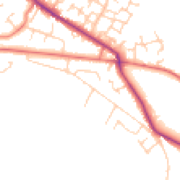
Daytime· 07:00 – 23:00
47.4dB

Night-time· 23:00 – 07:00
39.0dB