1 Brownlow Road, Croydon, CR0 5JT
About 1 Brownlow Road
1 Brownlow Road is a five-bedroom detached house in Croydon (CR0 5JT). It has a recorded floor area of 164 m² (around 1765 sq ft), construction records dating it to 1950-1966 and council tax band G. The property has solar panels and underfloor heating on record, all of which lower running costs and tend to lift resale appeal. The latest certificate (June 2025) shows a C (score 70). When first surveyed in January 2011 the rating was E, the property has climbed 2 bands since. Between certificates, roof efficiency went from Average to Good and hot-water efficiency went from Good to Very Good; while window efficiency dropped from Good to Average.
At 164 m² the property is well over the postcode median (106 m² across 36 EPCs), placing it in the larger end of the local stock. 5 bedrooms is on the larger side for this postcode, where 4 is the typical count. 4 planning records sit against the property, 4 approved, 0 refused. Past consents include an extension, solar panel installation and a conservatory, meaningful when judging how the property has evolved. Across 2002–2019, sale prices on this property compounded at 4.5% per year. Today's modelled estimate of £1,019,000 is 22.8% above the 2019 sale price. On a £-per-square-foot basis, the last sale (£470/sq ft) was about 79.7% above the typical sold price in the postcode. Sold July 2019 for £830,000.
Know exactly what you're buying at 1 Brownlow Road
Before you offer, see what the listing won't tell you, the true value, the red flags and the full history.
Valuation
against the asking price
Risks
planning & flood
Sold prices
similar homes nearby
Trends
the local market
What this property has
Inside
- Bedrooms5
- Bathrooms2
- FireplaceYes
Outside
- GarageYes
Building
- Central heatingYes
- Underfloor heatingYes
- Solar panelsYes
Energy performance
EPC Rating
Property Improvements
Changes detected from historical EPC data
Hot water system upgraded
Roof insulation improved
More low energy lighting installed
Solar water heating added
Planning history
1 Brownlow Road has been through 4 approved planning applications — a well-evolved property.
- Oct 2019ExtensionFullIn report
Extension: Two storey
Erection of two storey front, rear and side extensions, alterations to rear patio, formation/alterations of garage, formation of new roof and erection of dormer in rear roof slope, alterations to front boundary wall and new vehicular cross-over.
- Documents
- 8 docs on file
- Reference
- 19/03695/HSE
- Jul 2019ExtensionFullIn report
Extension: Two storey
Erection of two storey front, rear and side extensions, alterations to rear patio, formation/ alterations of garage, formation of new roof, alterations to front boundary wall and vehicular cross-over.
- Agent
- PLANS INK LTD
- Documents
- 5 docs on file
- Reference
- 19/02225/HSE
What's in 1 Brownlow Road, Croydon, CR0 5JT's planning history?
2 more on this property, plus refusals, disputes and full decisions nearby, in the report.
Sales history & valuation
Latest sale on 1 Brownlow Road was the highest on Land Registry record across the postcode.
£1,019,000
Modelled from EPC, postcode comparables and a sale-price growth of 4.5% per year over 17 years.
£830,000
Growth on file: 4.5% per year over 17 years.
Sales timeline
9 July 2019Most recent
£830,000
+28.4%over 7 years11 August 2011
£646,500
+63.1%over 9 years25 July 2002
£396,500
Median price across the last 5 sales in CR0 5JT: £600,000 (2025–2023).
Everything we know about 1 Brownlow Road, in one report
What it's really worth, what could be wrong, and the planning, sales and area data in full.
- Am I paying too much?
- Is something wrong with it?
- Is the agent's story true?
- Will it hold its value?

Versus other Brownlow Road homes
1 Brownlow Road outperforms the street on habitable rooms by a wide margin.
Price per m²
£5,061
Street avg £4,298
Floor Area
164 m²
Street avg 140 m²
Habitable Rooms
10 rooms
Street avg 6 rooms
CO₂ Emissions
4.5 t/year
Street avg 6.0 t/year
Similar properties nearby
The neighbourhood at a glance
Rail-style transport is unusually close for this postcode.
Crime
6/mo
Steady year-on-year across the wider district.
Nearest stop
0.3 km
Selborne Road — bus stop.
Closest school
0.2 km
Archbishop Tenison's CofE High School. 45 schools nearby.
Go deeper on the local area
The full report breaks down crime, transport links, schools and air quality in depth.
Road noise across the postcode
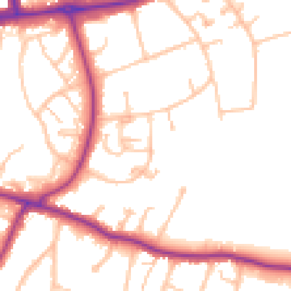
Daytime· 07:00 – 23:00
51.8dB

Night-time· 23:00 – 07:00
42.5dB