21 Cooper Road, Croydon, CR0 4DL
About 21 Cooper Road
21 Cooper Road is a three-bedroom semi-detached house in Croydon (CR0 4DL). It has a recorded floor area of 105 m² (around 1130 sq ft), construction records dating it to 1930-1949 and council tax band C. Tenure is freehold. The latest certificate (July 2015) shows an E (score 54), well below the UK norm with real room to improve. The recommended improvements would lift it to C (score 77), a 2-band jump. The latest certificate is from July 2015, so improvements made since then won't be reflected. Other recorded features include attached land beyond the plot. Our model identifies extension potential, subject to local planning policy.
At 105 m² the property is well over the postcode median (72 m² across 20 EPCs), placing it in the larger end of the local stock. It lags the bulk of the postcode on energy efficiency (less efficient than 80% of similar EPCs). One planning record on file: an extension approved in 2018. Past consents include an extension and a porch, meaningful when judging how the property has evolved. Across 1998–2024, sale prices on this property compounded at 7.5% per year. On a £-per-square-foot basis, the last sale (£467/sq ft) was about 113.7% above the typical sold price in the postcode. Most recent transfer: February 2024 at £527,500.
What this property has
Inside
- Bedrooms3
- Open-plan layoutYes
- Dining roomYes
- CloakroomYes
- EnsuiteYes
Outside
- Private gardenRear
- GarageYes
- LandYes
Building
- TenureFreehold
- Extension potentialPossible
Everything you need to know about 21 Cooper Road
The true value, the hidden risks and the full sale history, in one report.
Pick your report · every report is £14.99
One time fee only - money back guarantee

The data behind every report


Energy performance
Recommended upgrades on file would lift this property by multiple EPC bands.
EPC Expired
This certificate is over 10 years old and is no longer valid.Expired 09 Jul 2025
EPC Rating
Get a survey for this property
Level 3 Building Survey
Because the property has been extended more than once and has solid (non-cavity) walls, we believe a Level 3 building survey should be considered.
From £1,020 · Includes VAT
Planning history
1 application on record at 21 Cooper Road, Croydon, CR0 4DL
- Feb 2018PorchFullOutcome in report
Extension: Single storey
Erection of single storey extension to rear of garage, erection of front extension and associated alterations to the front porch.
Extension- Documents
- 8 docs on file
- Reference
- 17/06283/HSE
Unlock 21 Cooper Road, Croydon, CR0 4DL's full planning history
You're seeing the shape of it. The report has the substance.
- Every decision — granted, refused or withdrawn (1 on record)
- All 1 application on this property in full, plus 19 notable nearby
- The 8 documents, officer reports & conditions
- What the pattern means for extending or converting here
One time fee only - money back guarantee
Sales history & valuation
Latest sale on 21 Cooper Road was the highest on Land Registry record across the postcode.
£497,000
Modelled from EPC, postcode comparables and a sale-price growth of 7.5% per year over 25 years.
£527,500
Growth on file: 7.5% per year over 25 years.
Sales timeline
16 February 2024Most recent
£527,500
+24.1%over 8 years6 October 2015
£425,000
+403.0%over 16 years20 October 1998
£84,500
Median price across the last 5 sales in CR0 4DL: £382,500 (2022–2014).
Versus other Cooper Road homes
21 Cooper Road is notably below the street on years held.
Price per m²
£5,024
Street avg £4,331
Floor Area
105 m²
Street avg 82 m²
Habitable Rooms
5 rooms
Street avg 4 rooms
CO₂ Emissions
5.5 t/year
Street avg 3.9 t/year
Everything you need to know about 21 Cooper Road
The true value, the hidden risks and the full sale history, in one report.
Pick your report · every report is £14.99
One time fee only - money back guarantee
The data behind every report
Similar properties nearby
1 Derry Road
CR0 4UA
1 Coldharbour Way
CR0 4DX
1 Court Drive
CR0 4QA
1 Aldwick Road
CR0 4PN
1 Bridle Path, Beddington
CR0 4SB
1 Coldharbour Road
CR0 4DY
1 Cooper Road
CR0 4DL
1 Duppas Court, Duppas Hill Terrace
CR0 4BB
The neighbourhood at a glance
Rail-style transport is unusually close for this postcode.
Crime
6/mo
Steady year-on-year across the wider district.
Nearest stop
0.2 km
Crowley Crescent — bus stop.
Closest school
0.4 km
Harris Primary Academy Purley Way. 45 schools nearby.
Go deeper on the local area
A Local Area report breaks down crime, transport links, schools and air quality in depth.
Road noise across the postcode
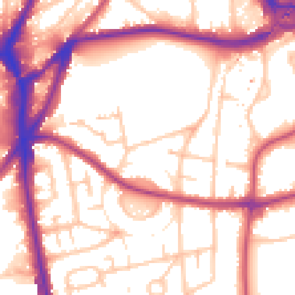
Daytime· 07:00 – 23:00
56.2dB

Night-time· 23:00 – 07:00
47.2dB