90a, High Street, Croydon, CR0 1ND
About 90a
90a is a two-bedroom end-of-terrace house in Croydon (CR0 1ND). It has a recorded floor area of 58 m² (around 624 sq ft) and construction records dating it to 1930-1949. The latest certificate (February 2025) shows a D (score 55), a step below the typical UK home. When first surveyed in October 2013 the rating was E, the property has climbed 1 band since. Between certificates, hot-water efficiency went from Very Poor to Good. The recommended improvements would push it to C (score 72). Other recorded features include a basement.
Untraded for 20 years, with the last transfer in March 2006. Today's modelled estimate of £613,000 is 23.8% above the 2006 sale price.
What this property has
Inside
- Bedrooms2
- Bathrooms1
- Open-plan layoutYes
- Dining roomYes
- BasementYes
Outside
- Private gardenEast-facing
Building
- Heating systemGas
Everything you need to know about 90a
The true value, the hidden risks and the full sale history, in one report.
30-day money-back guarantee

The data behind every report


Energy performance
EPC Rating
Property Improvements
Changes detected from historical EPC data
Heating controls changed
Hot water system upgraded
Planning history
90a has no planning applications on record.
Notable planning nearby
32applications of note in the surrounding area
We flagged 2 things worth checking at 90a
Independent checks surfaced things a buyer would want to understand before offering. The report explains each one in full, with the underlying data and what to ask.
- Signs of HMO activity in the area
- Larger development activity nearby
30-day money-back guarantee
Sales history & valuation
90a valuation sits well clear of the typical sold price in this postcode.
£613,000
Modelled from EPC, postcode comparables.
£495,000
Recorded with HM Land Registry.
Sales timeline
30 March 2006Most recent
£495,000
Median price across the last 5 sales in CR0 1ND: £290,000 (2024–2005).
Versus other High Street homes
90a outperforms the street on habitable rooms by a wide margin.
EPC Rating
55 (D)
Street avg 59 (D)
Floor Area
58 m²
Street avg 62 m²
CO₂ Emissions
3.6 t/year
Street avg 3.3 t/year
Habitable Rooms
4 rooms
Street avg 3 rooms
Everything you need to know about 90a
The true value, the hidden risks and the full sale history, in one report.
30-day money-back guarantee
The data behind every report
Similar properties nearby
The neighbourhood at a glance
Rail-style transport is unusually close for this postcode.
Crime
6/mo
Steady year-on-year across the wider district.
Nearest stop
0.0 km
Croydon Flyover — bus stop.
Closest school
0.4 km
Krishna Avanti Primary School. 50 schools nearby.
Go deeper on the local area
The full report breaks down crime, transport links, schools and air quality in depth.
Road noise across the postcode
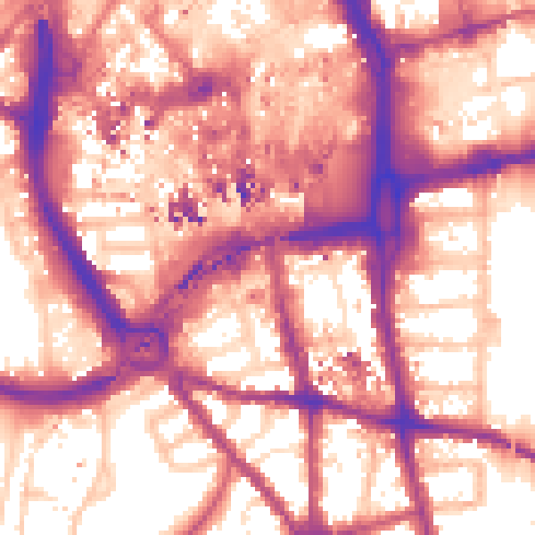
Daytime· 07:00 – 23:00
60.1dB

Night-time· 23:00 – 07:00
51.0dB