Skip to content

94a, High Street, Croydon, CR0 1ND

6 sales on record
Council tax
Band C
Overview

About 94a

A plain-English summary derived from public records, EPC certificates, sold prices and local data.

94a is a property in Croydon (CR0 1ND). It has council tax band C.

Last sold in October 2013, so it's been off the market for around 13 years. Across the public record there are 6 sales, relatively high churn for a single property. Across 1997–2013, sale prices on this property compounded at 14.8% per year.

Before you decide

Everything you need to know about 94a

The true value, the hidden risks and the full sale history, in one report.

Signs of HMO activity in the areaLarger development activity nearby
£14.99one-off

30-day money-back guarantee

Preview of the full property report

The data behind every report

  • HM Land Registry, source of sold price history
  • Department for Education, source of schools data
  • Police.uk, source of crime statistics
  • Department for Transport, source of stations and transport links
  • Environment Agency, source of flood risk data
  • Department for Environment, Food & Rural Affairs, source of road noise data
  • PlanIt, source of planning application records
  • Beautiful Places, source of nearby scenic places
Energy

Energy performance

Every EPC certificate filed against this property — current rating, recorded improvements, and where there's headroom to reach a higher band.

No EPC on record

This property doesn't have an Energy Performance Certificate yet. An EPC is required to sell or let — and unlocks our automated valuation.

Planning

Planning history

Applications and permits filed against 94a, High Street, Croydon, CR0 1ND, sourced from the PlanIt planning register.

94a has no planning applications on record.

Notable planning nearby

32applications of note in the surrounding area

Before you offer

We flagged 2 things worth checking at 94a

Independent checks surfaced things a buyer would want to understand before offering. The report explains each one in full, with the underlying data and what to ask.

  • Signs of HMO activity in the area
  • Larger development activity nearby
£14.99

30-day money-back guarantee

Price

Sales history & valuation

Recorded transactions, our model's current estimate, and a quick read on what neighbouring properties have sold for.

94a has more than quadrupled in price since its earliest registered sale in 1997.

Last sold (2013)

£290,000

Growth on file: 14.8% per year over 16 years.

Sales timeline

  1. 6 October 2013Most recent

    £290,000

    +110.1%over 7 years
  2. 24 October 2005

    £138,000

    +40.8%over 3 years
  3. 22 March 2002

    £98,000

    +40.0%
  4. 9 November 2001

    £70,000

    +29.7%over 2 years
  5. 10 December 1998

    £53,950

    +66.0%over 1 year
  6. 28 November 1997

    £32,500

Median price across the last 4 sales in CR0 1ND: £662,500 (2024–2006).

Before you decide

Everything you need to know about 94a

The true value, the hidden risks and the full sale history, in one report.

Signs of HMO activity in the areaLarger development activity nearby
£14.99one-off

30-day money-back guarantee

Preview of the full property report

The data behind every report

  • HM Land Registry, source of sold price history
  • Department for Education, source of schools data
  • Police.uk, source of crime statistics
  • Department for Transport, source of stations and transport links
  • Environment Agency, source of flood risk data
  • Department for Environment, Food & Rural Affairs, source of road noise data
  • PlanIt, source of planning application records
  • Beautiful Places, source of nearby scenic places
Area

The neighbourhood at a glance

A condensed read of the local area. Each tile links through to the full breakdown on the Croydon district page.

Rail-style transport is unusually close for this postcode.

Crime

6/mo

Steady year-on-year across the wider district.

Nearest stop

0.0 km

Croydon Flyover — bus stop.

Closest school

0.4 km

Krishna Avanti Primary School. 50 schools nearby.

Go deeper on the local area

The full report breaks down crime, transport links, schools and air quality in depth.

Noise

Road noise across the postcode

Modelled day and night-time noise levels around CR0 1ND from Defra's strategic mapping. The pin marks this postcode's centroid.
Daytime road noise heatmap for CR0 1ND

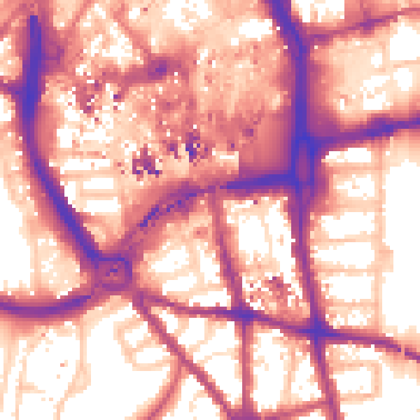
Daytime· 07:00 – 23:00

60.1dB

Moderate
Night-time road noise heatmap for CR0 1ND

Night-time· 23:00 – 07:00

51.0dB

Low
55 dB
60 dB
65 dB
70 dB
75 dB
80 dB
Defra Road Noise Strategic Mapping, Round 4
FAQ

Common questions

The questions buyers, sellers and homeowners most often ask about 94a, High Street, Croydon, CR0 1ND. Each answer is also embedded as structured data for search engines.