18 Port Lane, Colchester, CO1 2JF
About 18 Port Lane
18 Port Lane is a mid-terrace house in Colchester (CO1 2JF). It has a recorded floor area of 65 m² (around 700 sq ft), construction records dating it to 1900-1929 and council tax band B. The latest certificate (December 2016) shows a C (score 69), just inside the C band. The recommended improvements would push it to B (score 86).
On energy efficiency it sits in the top 10% of properties in this postcode. Across 2002–2023, sale prices on this property compounded at 4.3% per year. Today's modelled estimate of £205,000 is 12% above the 2023 sale price. On a £-per-square-foot basis, the last sale (£262/sq ft) was about 39.7% above the typical sold price in the postcode. Most recent transfer: May 2023 at £183,000.
Everything you need to know about 18 Port Lane
The true value, the hidden risks and the full sale history, in one report.
Pick your report · every report is £14.99
One time fee only - money back guarantee

The data behind every report


Energy performance
18 Port Lane ranks among the most efficient homes in the postcode for energy use.
EPC Rating
Get a survey for this property
Level 3 Building Survey
Because the property was built before 1919 and has solid (non-cavity) walls, we believe a Level 3 building survey should be considered.
From £885 · Includes VAT
Planning history
18 Port Lane has no planning applications on record.
But the area is active
10 notable applications nearby — larger schemes and conversions that could reshape the street. The report maps them all.
Sales history & valuation
18 Port Lane has more than doubled in price since the earliest registered sale in 2002.
£205,000
Modelled from EPC, postcode comparables and a sale-price growth of 4.3% per year over 21 years.
£183,000
Growth on file: 4.3% per year over 21 years.
Sales timeline
31 May 2023Most recent
£183,000
+46.4%over 17 years15 March 2006
£125,000
+62.3%over 3 years15 November 2002
£77,000
Median price across the last 5 sales in CO1 2JF: £215,000 (2025–2022).
Versus other Port Lane homes
On epc rating, 18 Port Lane stands well clear of the street.
Price per m²
£2,815
Street avg £2,528
Floor Area
65 m²
Street avg 62 m²
Habitable Rooms
4 rooms
Street avg 4 rooms
CO₂ Emissions
2.6 t/year
Street avg 3.6 t/year
Everything you need to know about 18 Port Lane
The true value, the hidden risks and the full sale history, in one report.
Pick your report · every report is £14.99
One time fee only - money back guarantee
The data behind every report
Similar properties nearby
The neighbourhood at a glance
Rail-style transport is unusually close for this postcode.
Crime
6/mo
Steady year-on-year across the wider district.
Nearest stop
0.1 km
Port Lane — bus stop.
Closest school
0.7 km
Kendall Church of England Primary School. 27 schools nearby.
Go deeper on the local area
A Local Area report breaks down crime, transport links, schools and air quality in depth.
Road noise across the postcode
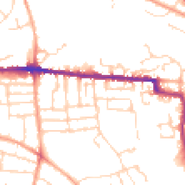
Daytime· 07:00 – 23:00
49.4dB

Night-time· 23:00 – 07:00
39.2dB