Flat 1, 43 New Town Road, Colchester, CO1 2EF
About Flat 1
Flat 1 is an end-of-terrace house in Colchester (CO1 2EF). It has a recorded floor area of 58 m² (around 624 sq ft) and construction records dating it to before 1900. The latest certificate (November 2017) shows an F (score 21), near the bottom of the EPC scale. Earlier certificates rated it E (October 2009); the latest reading is one band lower. Between certificates, wall efficiency dropped from Good to Very Poor and main heating dropped from Poor to Very Poor. The recommended improvements would push it to E (score 54). Main heating runs on electricity. At 58 m² this is the 4th smallest of 5 units on EPC record in the building, where floor areas span 21–66 m². The building's EPC ratings span F to D, with this unit at the bottom. On EPC score it ranks last in the building (21 versus a best of 63).
It hasn't traded since December 2001, a hold of 24 years that's notably long for the area. At 58 m² it's 19.4% smaller than the typical home in the postcode (72 m² median across 27 EPCs). On energy efficiency it sits in the bottom 10% of properties in this postcode — significant headroom for improvement. Across 1997–2001, sale prices on this property compounded at 9.3% per year. Today's modelled estimate of £244,000 is 36.3% above the 2001 sale price. On a £-per-square-foot basis, the last sale (£287/sq ft) was about 49% above the typical sold price in the postcode.
Everything you need to know about Flat 1
The true value, the hidden risks and the full sale history, in one report.
Pick your report · every report is £14.99
One time fee only - money back guarantee

The data behind every report


Energy performance
Flat 1 sits at the bottom of the postcode for energy efficiency — meaningful headroom to improve.
EPC Rating
Get a survey for this property
Level 3 Building Survey
Because the property was built before 1919, has no mains gas supply, and has solid (non-cavity) walls, we believe a Level 3 building survey should be considered.
From £885 · Includes VAT
Planning history
Flat 1 has no planning applications on record.
But the area is active
10 notable applications nearby — larger schemes and conversions that could reshape the street. The report maps them all.
Sales history & valuation
£244,000
Modelled from EPC, postcode comparables and a sale-price growth of 9.3% per year over 4 years.
£179,000
Growth on file: 9.3% per year over 4 years.
Sales timeline
7 December 2001Most recent
£179,000
+48.7%over 4 years16 June 1997
£120,400
Median price across the last 5 sales in CO1 2EF: £205,000 (2024–2020).
Nearby sales in CO1 2EF
Woodlands, Flat 4, New Town Road, Colchester, CO1 2EF
Sold Nov 2024
£205,00024 New Town Road, Colchester, CO1 2EF
Sold Jun 2024
£540,00039 New Town Road, Colchester, CO1 2EF
Sold Sept 2023
£520,000Woodlands, Flat 3, New Town Road, Colchester, CO1 2EF
Sold Sept 2020
£150,000Woodlands, Flat 1, New Town Road, Colchester, CO1 2EF
Sold May 2020
£160,000
Versus other New Town Road homes
Price per m² for Flat 1 runs comfortably ahead of the street norm.
Price per m²
£3,086
Street avg £2,236
Floor Area
58 m²
Street avg 53 m²
Habitable Rooms
2 rooms
Street avg 3 rooms
CO₂ Emissions
5.7 t/year
Street avg 2.8 t/year
Everything you need to know about Flat 1
The true value, the hidden risks and the full sale history, in one report.
Pick your report · every report is £14.99
One time fee only - money back guarantee
The data behind every report
Similar properties nearby
59 61, Flat 1, Barrack Street
CO1 2LL
18 20, Flat, Barrack Street
CO1 2LJ
9 10, Flat 2, Magdalen Street
CO1 2JT
7a, Flat 2, Magdalen Street
CO1 2JT
3a, Flat 5, Priory Street
CO1 2PY
7a, Flat 3, Magdalen Street
CO1 2JT
7b, Flat 3, Magdalen Street
CO1 2JT
3a, Flat 4, Priory Street
CO1 2PY
The neighbourhood at a glance
Rail-style transport is unusually close for this postcode.
Crime
6/mo
Steady year-on-year across the wider district.
Nearest stop
0.1 km
Garrison Church — bus stop.
Closest school
0.3 km
St. George's School. 31 schools nearby.
Go deeper on the local area
A Local Area report breaks down crime, transport links, schools and air quality in depth.
Road noise across the postcode
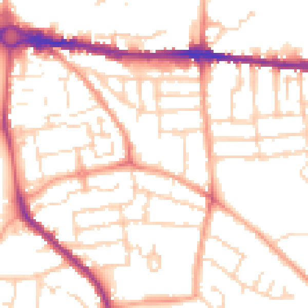
Daytime· 07:00 – 23:00
51.9dB

Night-time· 23:00 – 07:00
41.1dB