39 New Town Road, Colchester, CO1 2EF
About 39 New Town Road
39 New Town Road is a seven-bedroom detached house in Colchester (CO1 2EF). It has a recorded floor area of 196 m² (around 2110 sq ft), construction records dating it to 1930-1949 and council tax band E. The latest certificate (August 2022) shows a D (score 65), on the cusp of jumping into the C band. The recommended improvements would push it to C (score 77). Other recorded features include a basement. Period features are noted in the property record. Our model identifies extension potential, subject to local planning policy.
At 196 m² the property is well over the postcode median (66 m² across 27 EPCs), placing it in the larger end of the local stock. 7 bedrooms is on the larger side for this postcode, where 3 is the typical count. On a £-per-square-foot basis, the last sale (£246/sq ft) was about 27.9% above the typical sold price in the postcode. 2 planning records sit against the property, 0 approved, 0 refused. Last sale on file: £520,000 in September 2023.
What this property has
Inside
- Bedrooms7
- Bathrooms2
- BasementYes
Outside
- GarageYes
Building
- Period featuresYes
- Extension potentialPossible
Everything you need to know about 39 New Town Road
The true value, the hidden risks and the full sale history, in one report.
Pick your report · every report is £14.99
One time fee only - money back guarantee

The data behind every report


Energy performance
39 New Town Road's carbon output runs well above what efficient homes in the postcode produce.
EPC Rating
Get a survey for this property
Level 2 HomeBuyer Report
We've checked 10 risk factors against the available data for this property and believe a Level 2 HomeBuyer Report could be a suitable option for you.
From £795 · Includes VAT
Planning history
Planning history at 39 New Town Road is exclusively tree-management applications — typical for a property with mature trees on or near the plot.
2 applications on record at 39 New Town Road, Colchester, CO1 2EF
- Oct 2007Tree WorksTreesOutcome in report
Fell 1 Sycamore
- Documents
- 1 doc on file
- Reference
- 072751
- More recent applications — locked
- Tree WorksOct 2023Decision
Unlock 39 New Town Road, Colchester, CO1 2EF's full planning history
You're seeing the shape of it. The report has the substance.
- Every decision — granted, refused or withdrawn
- All 2 applications on this property in full, plus 10 notable nearby
- The 2 documents, officer reports & conditions
- What the pattern means for extending or converting here
One time fee only - money back guarantee
Sales history & valuation
39 New Town Road valuation sits well clear of the typical sold price in this postcode.
£511,000
Modelled from EPC, postcode comparables.
£520,000
Recorded with HM Land Registry.
Sales timeline
17 September 2023Most recent
£520,000
Median price across the last 5 sales in CO1 2EF: £188,000 (2024–2018).
Nearby sales in CO1 2EF
Woodlands, Flat 4, New Town Road, Colchester, CO1 2EF
Sold Nov 2024
£205,00024 New Town Road, Colchester, CO1 2EF
Sold Jun 2024
£540,000Woodlands, Flat 3, New Town Road, Colchester, CO1 2EF
Sold Sept 2020
£150,000Woodlands, Flat 1, New Town Road, Colchester, CO1 2EF
Sold May 2020
£160,00034 New Town Road, Colchester, CO1 2EF
Sold Dec 2018
£440,000
Versus other New Town Road homes
On years held, 39 New Town Road runs well behind the street norm.
Price per m²
£2,653
Street avg £2,295
Floor Area
196 m²
Street avg 196 m²
Habitable Rooms
8 rooms
Street avg 9 rooms
CO₂ Emissions
7.5 t/year
Street avg 10.0 t/year
Everything you need to know about 39 New Town Road
The true value, the hidden risks and the full sale history, in one report.
Pick your report · every report is £14.99
One time fee only - money back guarantee
The data behind every report
Similar properties nearby
The neighbourhood at a glance
Rail-style transport is unusually close for this postcode.
Crime
6/mo
Steady year-on-year across the wider district.
Nearest stop
0.1 km
Garrison Church — bus stop.
Closest school
0.3 km
St. George's School. 31 schools nearby.
Go deeper on the local area
A Local Area report breaks down crime, transport links, schools and air quality in depth.
Road noise across the postcode
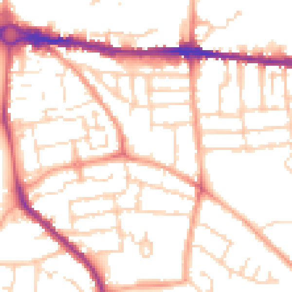
Daytime· 07:00 – 23:00
51.9dB

Night-time· 23:00 – 07:00
41.1dB