161 New London Road, Chelmsford, CM2 0AA
About 161 New London Road
161 New London Road is an end-of-terrace house in Chelmsford (CM2 0AA). It has a recorded floor area of 138 m² (around 1485 sq ft), construction records dating it to before 1900 and council tax band D. The latest certificate (January 2025) shows a D (score 55), a step below the typical UK home. When first surveyed in February 2017 the rating was F, the property has climbed 2 bands since. Between certificates, lighting went from Very Poor to Very Good. The recommended improvements would push it to C (score 78).
5 planning records sit against the property, 0 approved, 0 refused. The record references listed-building consent, which constrain future alterations. At 138 m² it's 29% larger than the typical home in the postcode (107 m² median across 5 EPCs). Across 1997–2021, sale prices on this property compounded at 7% per year. On a £-per-square-foot basis, the last sale (£478/sq ft) was about 121.3% above the typical sold price in the postcode. Last sale on file: £710,000 in August 2021. That sale was during the post-pandemic price surge, when transactions cleared materially above pre-2020 trend.
Everything you need to know about 161 New London Road
The true value, the hidden risks and the full sale history, in one report.
Pick your report · every report is £14.99
One time fee only - money back guarantee

The data behind every report


Energy performance
161 New London Road's carbon output runs well above what efficient homes in the postcode produce.
EPC Rating
Property Improvements
Changes detected from historical EPC data
Heating controls upgraded for better temperature management
More low energy lighting installed
Get a survey for this property
Level 3 Building Survey
Because the property was built before 1919 and has solid (non-cavity) walls, we believe a Level 3 building survey should be considered.
From £1,220 · Includes VAT
Planning history
161 New London Road has a listed-building consent on record — alterations to a listed property are tightly controlled.
5 applications on record at 161 New London Road, Chelmsford, CM2 0AA
- Nov 2005Tree WorksOutcome in report
Works to tree overhanging Queen Street
- Reference
- 05/05576/CAT
- More recent applications — locked
- HeritageNov 2019Decision
- FullNov 2019Decision
+ 2 more applications in the report
Unlock 161 New London Road, Chelmsford, CM2 0AA's full planning history
You're seeing the shape of it. The report has the substance.
- Every decision — granted, refused or withdrawn
- All 5 applications on this property in full, plus 6 notable nearby
- The 35 documents, officer reports & conditions
- What the pattern means for extending or converting here
One time fee only - money back guarantee
Sales history & valuation
Latest sale on 161 New London Road was the highest on Land Registry record across the postcode.
£707,000
Modelled from EPC, postcode comparables and a sale-price growth of 7.0% per year over 24 years.
£710,000
Growth on file: 7.0% per year over 24 years.
Sales timeline
19 August 2021Most recent
£710,000
+33.2%over 3 years24 November 2017
£533,124
+280.8%over 20 years18 August 1997
£140,000
Median price across the last 5 sales in CM2 0AA: £515,000 (2025–2020).
Nearby sales in CM2 0AA
157 New London Road, Chelmsford, CM2 0AA
Sold Sept 2025
£515,000149 New London Road, Chelmsford, CM2 0AA
Sold Dec 2022
£520,000159 New London Road, Chelmsford, CM2 0AA
Sold Mar 2020
£450,000153 New London Road, Chelmsford, CM2 0AA
Sold Apr 2016
£475,000151 New London Road, Chelmsford, CM2 0AA
Sold Nov 2011
£322,500
Versus other New London Road homes
Price per m² for 161 New London Road runs comfortably ahead of the street norm.
Price per m²
£5,145
Street avg £4,231
Floor Area
138 m²
Street avg 108 m²
Habitable Rooms
7 rooms
Street avg 5 rooms
CO₂ Emissions
7.0 t/year
Street avg 5.4 t/year
Everything you need to know about 161 New London Road
The true value, the hidden risks and the full sale history, in one report.
Pick your report · every report is £14.99
One time fee only - money back guarantee
The data behind every report
Similar properties nearby
1 Alfred Mews, Hall Street
CM2 0FW
1 Barrack Square
CM2 0UU
1 Elm Road
CM2 0JL
1 Goldlay Avenue
CM2 0TL
1 Fraser Close
CM2 0TD
1 Anchor Terrace, Anchor Street
CM2 0JX
1 Honywood Gardens
CM2 0GB
1 Cherry Garden Lane
CM2 0BL
The neighbourhood at a glance
Rail-style transport is unusually close for this postcode.
Crime
12/mo
Steady year-on-year across the wider district.
Nearest stop
0.1 km
Queen Street — bus stop.
Closest school
0.1 km
Our Lady Immaculate Catholic Primary School. 30 schools nearby.
Go deeper on the local area
A Local Area report breaks down crime, transport links, schools and air quality in depth.
Road noise across the postcode
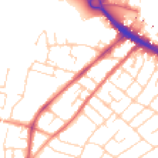
Daytime· 07:00 – 23:00
51.6dB

Night-time· 23:00 – 07:00
42.3dB